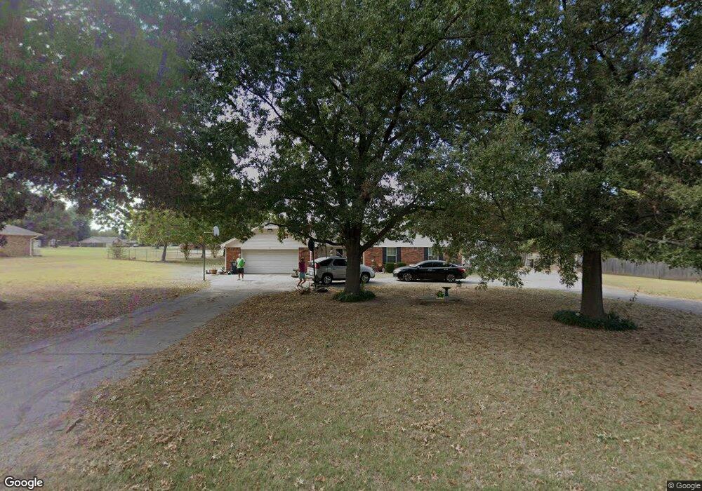
6 Fairview Ln Shawnee, OK 74804
Estimated Value: $233,000 - $318,000
3
Beds
2
Baths
1,834
Sq Ft
$150/Sq Ft
Est. Value
About This Home
This home is located at 6 Fairview Ln, Shawnee, OK 74804 and is currently estimated at $274,967, approximately $149 per square foot. 6 Fairview Ln is a home located in Pottawatomie County with nearby schools including Will Rogers Elementary School, Shawnee Middle School, and Shawnee High School.
Ownership History
Date
Name
Owned For
Owner Type
Purchase Details
Closed on
Jul 28, 2006
Sold by
Perkins Thomas W and Perkins Naydene J
Bought by
Wells Douglas Patrick and Wells Wendi Jill
Current Estimated Value
Home Financials for this Owner
Home Financials are based on the most recent Mortgage that was taken out on this home.
Original Mortgage
$110,400
Outstanding Balance
$64,740
Interest Rate
6.62%
Mortgage Type
Unknown
Estimated Equity
$210,227
Purchase Details
Closed on
Aug 29, 2003
Sold by
Epperson Paul and Epperson Jane
Bought by
Perkins Thomas and Perkins Naydene
Create a Home Valuation Report for This Property
The Home Valuation Report is an in-depth analysis detailing your home's value as well as a comparison with similar homes in the area
Purchase History
| Date | Buyer | Sale Price | Title Company |
|---|---|---|---|
| Wells Douglas Patrick | $138,000 | None Available | |
| Perkins Thomas | $132,000 | -- |
Source: Public Records
Mortgage History
| Date | Status | Borrower | Loan Amount |
|---|---|---|---|
| Open | Wells Douglas Patrick | $110,400 |
Source: Public Records
Tax History
| Year | Tax Paid | Tax Assessment Tax Assessment Total Assessment is a certain percentage of the fair market value that is determined by local assessors to be the total taxable value of land and additions on the property. | Land | Improvement |
|---|---|---|---|---|
| 2025 | $1,453 | $15,558 | $1,500 | $14,058 |
| 2024 | $1,474 | $15,105 | $2,160 | $12,945 |
| 2023 | $1,474 | $15,105 | $2,160 | $12,945 |
| 2022 | $1,433 | $14,969 | $2,160 | $12,809 |
| 2021 | $1,364 | $14,969 | $2,160 | $12,809 |
| 2020 | $1,325 | $14,110 | $2,160 | $11,950 |
| 2019 | $1,396 | $14,370 | $2,160 | $12,210 |
| 2018 | $1,421 | $14,891 | $2,160 | $12,731 |
| 2017 | $1,428 | $15,152 | $2,160 | $12,992 |
| 2016 | $1,501 | $15,706 | $2,160 | $13,546 |
| 2015 | $1,425 | $15,252 | $2,160 | $13,092 |
| 2014 | $1,501 | $16,009 | $2,160 | $13,849 |
Source: Public Records
Map
Nearby Homes
- 2700 Woodlawn Ct
- 37802 W Old Highway 270
- 121 Lake Shore Dr
- 129 Lake Shore Dr
- 38604 Collina Dr
- 13804 Coker Rd
- 5557 Coker Rd
- 8 Clark Cir
- 37614 W Macarthur St
- 15 Gaddy Rd
- 39409 Macarthur St
- 0 Gaddy Rd Unit OKC1215621
- 1922 Ridge Crest Dr
- 36601 W 45th St
- 2312 Timbers Blvd
- 1914 Rain Tree Dr
- 1000 W 45th St
- 1914 Oak Tree Ct
- 1918 Oak Tree Ct
- 1902 Oak Tree Ct
Your Personal Tour Guide
Ask me questions while you tour the home.