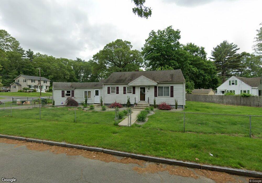
6 Fairway Dr Springfield, MA 01108
Forest Park NeighborhoodEstimated Value: $298,000 - $349,000
3
Beds
2
Baths
1,786
Sq Ft
$182/Sq Ft
Est. Value
About This Home
This home is located at 6 Fairway Dr, Springfield, MA 01108 and is currently estimated at $325,934, approximately $182 per square foot. 6 Fairway Dr is a home located in Hampden County with nearby schools including Alice B. Beal Elementary School, Forest Park Middle School, and High School Of Commerce.
Ownership History
Date
Name
Owned For
Owner Type
Purchase Details
Closed on
May 22, 1997
Sold by
Brown Edward J and Brown Charlotte S
Bought by
Brown Kenneth and Brown Lorrie L
Current Estimated Value
Home Financials for this Owner
Home Financials are based on the most recent Mortgage that was taken out on this home.
Original Mortgage
$54,400
Outstanding Balance
$7,502
Interest Rate
8.08%
Mortgage Type
Purchase Money Mortgage
Estimated Equity
$318,432
Create a Home Valuation Report for This Property
The Home Valuation Report is an in-depth analysis detailing your home's value as well as a comparison with similar homes in the area
Home Values in the Area
Average Home Value in this Area
Purchase History
| Date | Buyer | Sale Price | Title Company |
|---|---|---|---|
| Brown Kenneth | $68,000 | -- |
Source: Public Records
Mortgage History
| Date | Status | Borrower | Loan Amount |
|---|---|---|---|
| Open | Brown Kenneth | $30,000 | |
| Open | Brown Kenneth | $54,400 | |
| Previous Owner | Brown Kenneth | $42,000 | |
| Previous Owner | Brown Kenneth | $30,000 |
Source: Public Records
Tax History
| Year | Tax Paid | Tax Assessment Tax Assessment Total Assessment is a certain percentage of the fair market value that is determined by local assessors to be the total taxable value of land and additions on the property. | Land | Improvement |
|---|---|---|---|---|
| 2025 | $3,826 | $244,000 | $47,700 | $196,300 |
| 2024 | $4,002 | $249,200 | $47,700 | $201,500 |
| 2023 | $3,802 | $223,000 | $40,300 | $182,700 |
| 2022 | $3,572 | $189,800 | $40,300 | $149,500 |
| 2021 | $3,368 | $178,200 | $36,700 | $141,500 |
| 2020 | $3,265 | $167,200 | $36,700 | $130,500 |
| 2019 | $3,033 | $154,100 | $36,700 | $117,400 |
| 2018 | $2,987 | $151,800 | $36,700 | $115,100 |
| 2017 | $2,910 | $148,000 | $36,700 | $111,300 |
| 2016 | $2,920 | $148,500 | $36,700 | $111,800 |
| 2015 | $2,846 | $144,700 | $36,700 | $108,000 |
Source: Public Records
Map
Nearby Homes
- 23 Fairway Dr
- 5 Fenimore Blvd
- 62 Cooley Ave
- 0 Donald Ave
- 78 Wood Ave
- 115 Tiffany St
- 137 Carroll St
- 132 Carroll St
- 1155 Dickinson St
- 179 Carver St
- 42 Carroll St
- 26 Dwight Rd
- 12 Carroll St
- 38 Manchester Terrace
- 33-35 Ruskin St
- 104 Appleton St
- 14 Kronvall Ln
- 114 Sylvan St Unit 116
- 22 Eleanor Rd
- 134-136 Woodlawn St
Your Personal Tour Guide
Ask me questions while you tour the home.