6 Farm Rd Sherman, CT 06784
Estimated Value: $603,000 - $777,000
3
Beds
3
Baths
1,956
Sq Ft
$356/Sq Ft
Est. Value
About This Home
This home is located at 6 Farm Rd, Sherman, CT 06784 and is currently estimated at $696,426, approximately $356 per square foot. 6 Farm Rd is a home located in Fairfield County with nearby schools including Sherman School.
Ownership History
Date
Name
Owned For
Owner Type
Purchase Details
Closed on
May 11, 2010
Sold by
Enright Themis B
Bought by
Conn Community Bk
Current Estimated Value
Purchase Details
Closed on
Mar 22, 2000
Sold by
Sichel Pierre L and Sichel Edna D
Bought by
Enright Joseph J and Enright Thenis B
Create a Home Valuation Report for This Property
The Home Valuation Report is an in-depth analysis detailing your home's value as well as a comparison with similar homes in the area
Home Values in the Area
Average Home Value in this Area
Purchase History
| Date | Buyer | Sale Price | Title Company |
|---|---|---|---|
| Conn Community Bk | -- | -- | |
| Enright Joseph J | $250,000 | -- |
Source: Public Records
Mortgage History
| Date | Status | Borrower | Loan Amount |
|---|---|---|---|
| Open | Enright Joseph J | $318,000 | |
| Closed | Enright Joseph J | $282,400 | |
| Previous Owner | Enright Joseph J | $376,000 |
Source: Public Records
Tax History Compared to Growth
Tax History
| Year | Tax Paid | Tax Assessment Tax Assessment Total Assessment is a certain percentage of the fair market value that is determined by local assessors to be the total taxable value of land and additions on the property. | Land | Improvement |
|---|---|---|---|---|
| 2025 | $5,008 | $300,400 | $108,700 | $191,700 |
| 2024 | $4,915 | $300,400 | $108,700 | $191,700 |
| 2023 | $5,353 | $300,400 | $108,700 | $191,700 |
| 2022 | $5,461 | $300,400 | $108,700 | $191,700 |
| 2021 | $8,871 | $300,400 | $108,700 | $191,700 |
| 2020 | $5,741 | $300,400 | $108,700 | $191,700 |
| 2019 | $5,951 | $300,400 | $108,700 | $191,700 |
| 2018 | $18,052 | $290,300 | $108,700 | $181,600 |
| 2017 | $5,902 | $290,300 | $108,700 | $181,600 |
| 2016 | $5,685 | $279,650 | $108,710 | $170,940 |
| 2015 | $5,604 | $279,650 | $108,710 | $170,940 |
| 2014 | $5,548 | $279,650 | $108,710 | $170,940 |
Source: Public Records
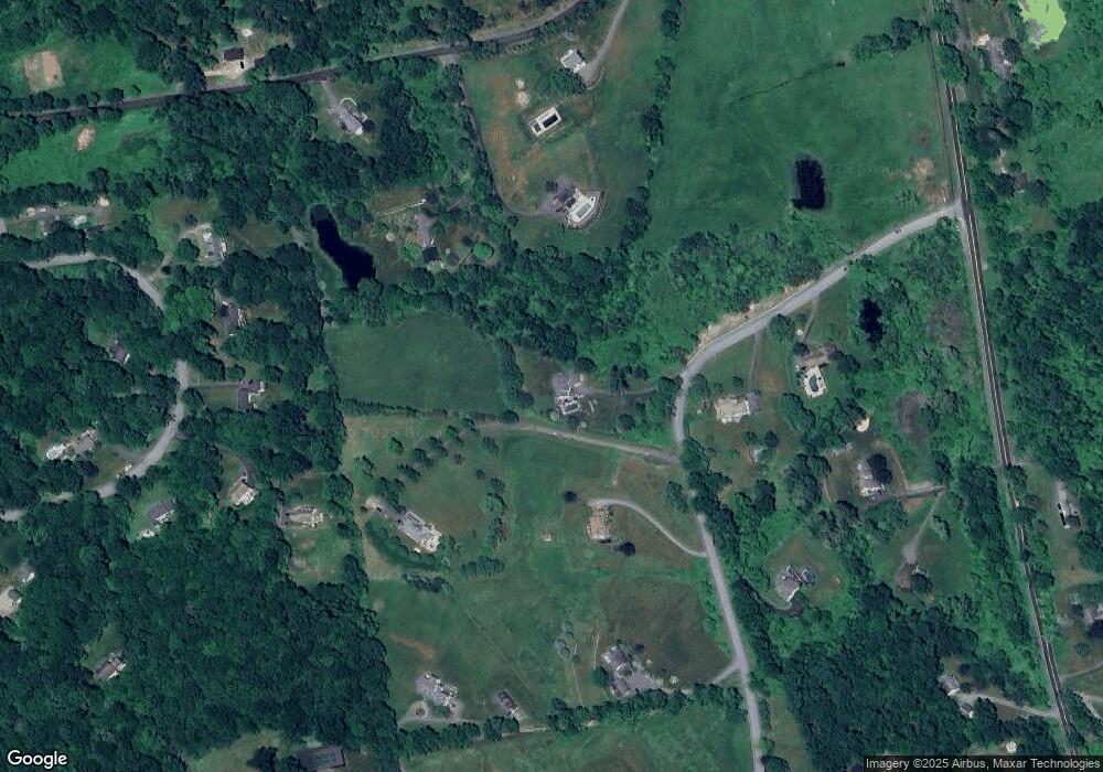
Map
Nearby Homes
- 49 Quaker Ridge Rd
- 107 Church Rd
- 2 Coburn Road W, She Coburn Rd W
- 00 Anderson Rd
- 1 Cloverleaf Farm S
- 77 Squash Hollow Rd
- 7 Ridge Rd
- 36 Byrds Hill Rd
- 6 Brinsmade Ln
- 604 N Quaker Hill Rd
- 16 Anderson Rd
- 48 Gaylord Rd
- 31 Cedar Hill Rd
- 55 Colonial Ridge Dr
- 0 Sherman Rd
- 43 Gaylord Rd
- 12 Shadow Ln
- 21 Holiday Point Rd
- 16 Gaylord Rd
- 612 Kent Rd