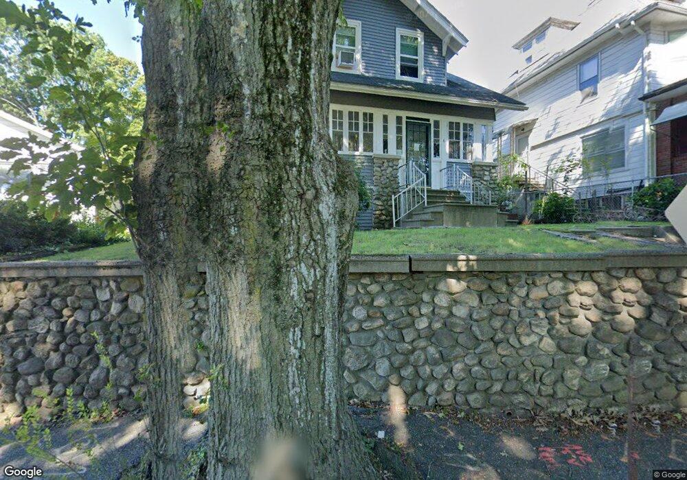
6 Flagg St Worcester, MA 01602
Newton Square NeighborhoodEstimated Value: $447,000 - $576,000
3
Beds
2
Baths
1,861
Sq Ft
$263/Sq Ft
Est. Value
About This Home
This home is located at 6 Flagg St, Worcester, MA 01602 and is currently estimated at $488,887, approximately $262 per square foot. 6 Flagg St is a home located in Worcester County with nearby schools including Chandler Magnet, Jacob Hiatt Magnet School, and Flagg Street School.
Ownership History
Date
Name
Owned For
Owner Type
Purchase Details
Closed on
Nov 1, 2011
Sold by
American Home Mtg Svcn
Bought by
Foley Brian
Current Estimated Value
Purchase Details
Closed on
May 13, 2011
Sold by
Deangelo Rose D
Bought by
Deutsche Bank Natl Tco
Create a Home Valuation Report for This Property
The Home Valuation Report is an in-depth analysis detailing your home's value as well as a comparison with similar homes in the area
Home Values in the Area
Average Home Value in this Area
Purchase History
| Date | Buyer | Sale Price | Title Company |
|---|---|---|---|
| Foley Brian | $146,000 | -- | |
| Deutsche Bank Natl Tco | $140,000 | -- |
Source: Public Records
Tax History
| Year | Tax Paid | Tax Assessment Tax Assessment Total Assessment is a certain percentage of the fair market value that is determined by local assessors to be the total taxable value of land and additions on the property. | Land | Improvement |
|---|---|---|---|---|
| 2025 | $4,772 | $361,800 | $118,300 | $243,500 |
| 2024 | $4,638 | $337,300 | $118,300 | $219,000 |
| 2023 | $4,329 | $301,900 | $102,800 | $199,100 |
| 2022 | $4,119 | $270,800 | $82,300 | $188,500 |
| 2021 | $3,635 | $223,300 | $65,800 | $157,500 |
| 2020 | $3,471 | $204,200 | $65,800 | $138,400 |
| 2019 | $3,571 | $198,400 | $59,300 | $139,100 |
| 2018 | $3,542 | $187,300 | $59,300 | $128,000 |
| 2017 | $3,404 | $177,100 | $59,300 | $117,800 |
| 2016 | $3,273 | $158,800 | $43,300 | $115,500 |
| 2015 | $3,187 | $158,800 | $43,300 | $115,500 |
| 2014 | $3,103 | $158,800 | $43,300 | $115,500 |
Source: Public Records
Map
Nearby Homes
- 19 Kenilworth Rd
- 73 Moore Ave
- 31 Lenox St
- 860 Pleasant St
- 10 Wrentham Rd Unit 308
- 2 Saxon Rd
- 26 Westbrook Rd
- 15 Chesterfield Rd
- 118 Beaconsfield Rd
- 16 Sherwood Rd
- 23 Orrison St
- 122 Copperfield Rd
- 18 Hadwen Ln
- 42 Ellis Dr
- 7 Longworth Rd
- 163 Moreland St
- 23 Tiverton Pkwy
- 437 Salisbury St
- 93 Newton Ave N
- 10 Perrot St
Your Personal Tour Guide
Ask me questions while you tour the home.