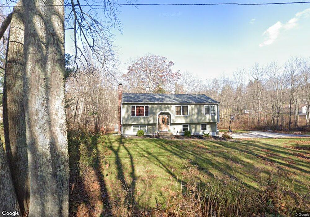
6 Flint Rd Charlton, MA 01507
Estimated Value: $434,000 - $493,000
About This Home
This home is located at 6 Flint Rd, Charlton, MA 01507 and is currently estimated at $472,249, approximately $272 per square foot. 6 Flint Rd is a home located in Worcester County with nearby schools including Shepherd Hill Regional High School.
Ownership History
We collect this data history from publicly available records. To have your information removed, we recommend requesting removal directly through your county’s website.
Purchase Details
Home Financials for this Owner
Home Financials are based on the most recent Mortgage that was taken out on this home.Purchase Details
Purchase Details
Purchase Details
Home Values in the Area
Average Home Value in this Area
Purchase History
We collect this data history from publicly available records. To have your information removed, we recommend requesting removal directly through your county’s website.
| Date | Buyer | Sale Price | Title Company |
|---|---|---|---|
| $246,250 | -- | ||
| $246,250 | -- | ||
| $246,250 | -- | ||
| $118,500 | -- | ||
| $118,500 | -- | ||
| $86,400 | -- | ||
| $21,600 | -- | ||
| $21,600 | -- | ||
| $124,000 | -- | ||
| $124,000 | -- |
Mortgage History
We collect this data history from publicly available records. To have your information removed, we recommend requesting removal directly through your county’s website.
| Date | Status | Borrower | Loan Amount |
|---|---|---|---|
| Open | $251,275 | ||
| Closed | $251,275 |
Tax History
We collect this data history from publicly available records. To have your information removed, we recommend requesting removal directly through your county’s website.
| Year | Tax Paid | Tax Assessment Tax Assessment Total Assessment is a certain percentage of the fair market value that is determined by local assessors to be the total taxable value of land and additions on the property. | Land | Improvement |
|---|---|---|---|---|
| 2025 | $4,193 | $376,700 | $83,000 | $293,700 |
| 2024 | $3,993 | $352,100 | $79,900 | $272,200 |
| 2023 | $3,886 | $319,300 | $76,300 | $243,000 |
| 2022 | $3,671 | $276,200 | $74,900 | $201,300 |
| 2021 | $3,617 | $241,000 | $73,100 | $167,900 |
| 2020 | $3,511 | $235,000 | $67,100 | $167,900 |
| 2019 | $3,471 | $235,000 | $67,100 | $167,900 |
| 2018 | $3,173 | $235,000 | $67,100 | $167,900 |
| 2017 | $2,851 | $202,200 | $61,100 | $141,100 |
| 2016 | $2,786 | $202,200 | $61,100 | $141,100 |
| 2015 | $2,714 | $202,200 | $61,100 | $141,100 |
| 2014 | $2,745 | $216,800 | $65,500 | $151,300 |
Map
- 91 Burlingame Rd
- 0 Freeman Rd Unit 73369281
- 0 N Main St
- 100 Old Worcester Rd
- 6 Gillespie Rd
- 0 Prindle Hill Rd
- Lot 7 Oak Ridge Dr
- 57 & 59 Pumpkin Ln
- 0 Blood Rd
- 0 Brookfield Rd Unit 73530313
- 35 J Davis Rd
- 7 B L Stevens Rd Unit B
- 84 City Depot Rd
- 97 Carroll Hill Rd
- 45 Hollywood Dr
- 94 City Depot Rd
- 2 Highland Ave
- 21 Brackett Hill Rd
- Lot 7 Harrington Rd
- 2 Sandersdale Rd
Ask me questions while you tour the home.