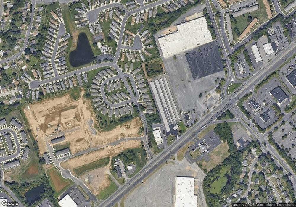
6 Forrestal Dr Unit 20A Beverly, NJ 08010
Estimated Value: $153,000 - $273,000
2
Beds
2
Baths
1,200
Sq Ft
$197/Sq Ft
Est. Value
About This Home
This home is located at 6 Forrestal Dr Unit 20A, Beverly, NJ 08010 and is currently estimated at $236,716, approximately $197 per square foot. 6 Forrestal Dr Unit 20A is a home located in Burlington County with nearby schools including Magowan Elementary School, Samuel M Ridgway School, and Benjamin Banneker Prep Charter School.
Ownership History
Date
Name
Owned For
Owner Type
Purchase Details
Closed on
Nov 30, 2006
Sold by
S P West Llc
Bought by
Mancini Marylynn
Current Estimated Value
Home Financials for this Owner
Home Financials are based on the most recent Mortgage that was taken out on this home.
Original Mortgage
$22,500
Outstanding Balance
$13,452
Interest Rate
6.31%
Mortgage Type
Stand Alone Second
Estimated Equity
$223,264
Purchase Details
Closed on
Dec 15, 2000
Sold by
Silver Park Associates Llc
Bought by
Sp West Llc
Create a Home Valuation Report for This Property
The Home Valuation Report is an in-depth analysis detailing your home's value as well as a comparison with similar homes in the area
Home Values in the Area
Average Home Value in this Area
Purchase History
| Date | Buyer | Sale Price | Title Company |
|---|---|---|---|
| Mancini Marylynn | $150,000 | Congress Title Corp | |
| Sp West Llc | $92,400 | -- |
Source: Public Records
Mortgage History
| Date | Status | Borrower | Loan Amount |
|---|---|---|---|
| Open | Mancini Marylynn | $22,500 | |
| Open | Mancini Marylynn | $120,000 |
Source: Public Records
Tax History Compared to Growth
Tax History
| Year | Tax Paid | Tax Assessment Tax Assessment Total Assessment is a certain percentage of the fair market value that is determined by local assessors to be the total taxable value of land and additions on the property. | Land | Improvement |
|---|---|---|---|---|
| 2025 | $3,814 | $110,000 | $10,000 | $100,000 |
| 2024 | $3,774 | $110,000 | $10,000 | $100,000 |
| 2023 | $3,774 | $110,000 | $10,000 | $100,000 |
| 2022 | $3,763 | $110,000 | $10,000 | $100,000 |
| 2021 | $3,380 | $110,000 | $10,000 | $100,000 |
| 2020 | $3,583 | $110,000 | $10,000 | $100,000 |
| 2019 | $3,385 | $110,000 | $10,000 | $100,000 |
| 2018 | $3,148 | $110,000 | $10,000 | $100,000 |
| 2017 | $2,906 | $110,000 | $10,000 | $100,000 |
| 2016 | $3,066 | $110,000 | $10,000 | $100,000 |
| 2015 | $3,222 | $120,000 | $10,000 | $110,000 |
| 2014 | $3,429 | $135,000 | $10,000 | $125,000 |
Source: Public Records
Map
Nearby Homes
- 26 L Wendowski St
- 25 L Wendowski St
- 58 Benford Ln
- 205 S Garden Blvd
- 20 Benford Ln
- 204 N Garden
- 59 Somerset Dr
- 1294 Cooper St Unit E3
- 1294 Cooper St Unit E8
- 1294 Cooper St Unit E13
- 1294 Cooper St Unit C06
- 208 Regency Rd
- 206 Colonial Rd
- 43 Blueberry Ln
- 134 Somerset Dr
- 402 S Arthur Dr
- 68 Shawmont Ln
- 400 S Arthur Dr
- 24 Spindletop Ln
- 10 Shelbourne Ln
- 8 Forrestal Dr Unit 20B
- 4 Forrestal Dr Unit 19
- 10 Palmer Square
- 2 Forrestal Dr
- 12 Palmer Square Unit 22A
- 14 Palmer Square Unit 22B
- 18 Palmer Square Unit 23B
- 16 Palmer Square Unit 23A
- 154 Alexander Rd Unit 1
- 20 Palmer Square Unit 24A
- 152 Alexander Rd Unit 152
- 150 Alexander Rd Unit 2A
- 153 Alexander Rd Unit 30
- 24 Palmer Square
- 146 Alexander Rd Unit 3A
- 148 Alexander Rd Unit 3B
- 151 Alexander Rd Unit 31
- 147 Alexander Rd Unit 32
- 144 Alexander Rd Unit 4B
- 142 Alexander Rd Unit 4A
