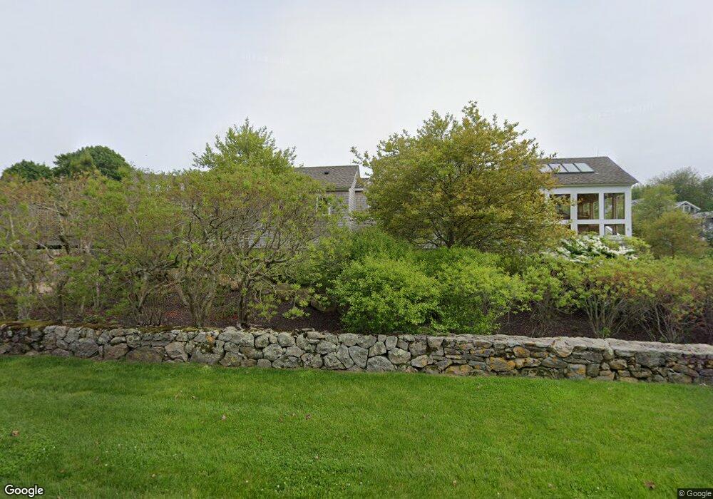
6 Foster Cove Rd Westerly, RI 02891
Estimated Value: $4,209,595 - $6,058,000
2
Beds
2
Baths
2,918
Sq Ft
$1,663/Sq Ft
Est. Value
About This Home
This home is located at 6 Foster Cove Rd, Westerly, RI 02891 and is currently estimated at $4,852,532, approximately $1,662 per square foot. 6 Foster Cove Rd is a home located in Washington County with nearby schools including Westerly High School.
Ownership History
Date
Name
Owned For
Owner Type
Purchase Details
Closed on
Jun 15, 2022
Sold by
Lazarus Michael P and Kline Laura F
Bought by
Lazarus Michael P and Kline Laura F
Current Estimated Value
Purchase Details
Closed on
Aug 1, 2018
Sold by
Lazarus Michael P and Kline Laura F
Bought by
Lazarus Michael P and Kline Laura F
Purchase Details
Closed on
Jul 27, 1998
Sold by
Cushing Duncan L and Cushing Mary T
Bought by
Lazarus Michael P and Kline Laura F
Create a Home Valuation Report for This Property
The Home Valuation Report is an in-depth analysis detailing your home's value as well as a comparison with similar homes in the area
Home Values in the Area
Average Home Value in this Area
Purchase History
| Date | Buyer | Sale Price | Title Company |
|---|---|---|---|
| Lazarus Michael P | -- | None Available | |
| Lazarus Michael P | -- | None Available | |
| Lazarus Michael P | -- | -- | |
| Lazarus Michael P | -- | -- | |
| Lazarus Michael P | $325,000 | -- |
Source: Public Records
Tax History Compared to Growth
Tax History
| Year | Tax Paid | Tax Assessment Tax Assessment Total Assessment is a certain percentage of the fair market value that is determined by local assessors to be the total taxable value of land and additions on the property. | Land | Improvement |
|---|---|---|---|---|
| 2025 | $26,349 | $3,705,900 | $2,590,600 | $1,115,300 |
| 2024 | $25,490 | $2,598,400 | $1,682,900 | $915,500 |
| 2023 | $24,997 | $2,598,400 | $1,682,900 | $915,500 |
| 2022 | $24,841 | $2,598,400 | $1,682,900 | $915,500 |
| 2021 | $24,432 | $2,120,800 | $1,389,300 | $731,500 |
| 2020 | $23,986 | $2,120,800 | $1,389,300 | $731,500 |
| 2019 | $12,402 | $1,107,300 | $1,099,900 | $7,400 |
| 2018 | $11,691 | $984,100 | $868,300 | $115,800 |
| 2017 | $10,230 | $882,700 | $766,900 | $115,800 |
| 2016 | $10,310 | $882,700 | $766,900 | $115,800 |
| 2015 | $11,536 | $1,066,200 | $938,200 | $128,000 |
| 2014 | $11,344 | $1,066,200 | $938,200 | $128,000 |
Source: Public Records
Map
Nearby Homes
- 7 Popon Rd
- 4 Foster Cove Rd
- 215 Watch Hill Rd
- 9 Popon Rd
- 219 Watch Hill Rd
- 6 Popon Rd
- 214 Watch Hill Rd
- 218 Watch Hill Rd
- 11 Popon Rd
- 209 Watch Hill Rd Unit 1
- 210 Watch Hill Rd
- 221 Watch Hill Rd
- 6 Breen Rd
- 5 Nepun Rd
- 5 W Ridge Rd
- 225 Watch Hill Rd
- 208 Watch Hill Rd
- 8 Popon Rd
- 7 Nepun Rd
- 7 W Ridge Rd