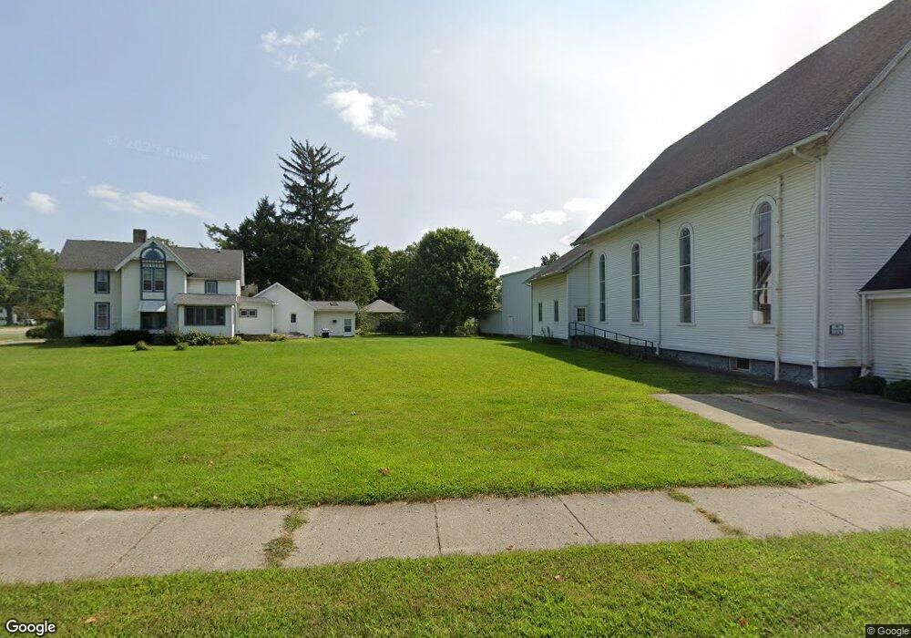
6 Fulton St Quincy, MI 49082
Estimated Value: $165,305
Studio
--
Bath
--
Sq Ft
6,970
Sq Ft
About This Home
This home is located at 6 Fulton St, Quincy, MI 49082 and is currently estimated at $165,305. 6 Fulton St is a home located in Branch County with nearby schools including Jennings Elementary School, Quincy Middle School, and Quincy High School.
Ownership History
Date
Name
Owned For
Owner Type
Purchase Details
Closed on
May 2, 2021
Sold by
Sallie Jeffrey M and Maccheyne Karen
Bought by
Union Church Of Quincy
Current Estimated Value
Home Financials for this Owner
Home Financials are based on the most recent Mortgage that was taken out on this home.
Original Mortgage
$85,000
Outstanding Balance
$77,031
Interest Rate
3.1%
Mortgage Type
Credit Line Revolving
Estimated Equity
$88,274
Purchase Details
Closed on
May 17, 2004
Sold by
Foster Allene and Foster Jack M
Bought by
Sallie Jeffrey M and Maccheyne Karen
Home Financials for this Owner
Home Financials are based on the most recent Mortgage that was taken out on this home.
Original Mortgage
$50,000
Interest Rate
5.28%
Mortgage Type
Purchase Money Mortgage
Create a Home Valuation Report for This Property
The Home Valuation Report is an in-depth analysis detailing your home's value as well as a comparison with similar homes in the area
Purchase History
| Date | Buyer | Sale Price | Title Company |
|---|---|---|---|
| Union Church Of Quincy | $110,000 | Branch County Abstract & Ttl | |
| Sallie Jeffrey M | $32,500 | Chicago Title |
Source: Public Records
Mortgage History
| Date | Status | Borrower | Loan Amount |
|---|---|---|---|
| Open | Union Church Of Quincy | $85,000 | |
| Previous Owner | Sallie Jeffrey M | $50,000 |
Source: Public Records
Tax History
| Year | Tax Paid | Tax Assessment Tax Assessment Total Assessment is a certain percentage of the fair market value that is determined by local assessors to be the total taxable value of land and additions on the property. | Land | Improvement |
|---|---|---|---|---|
| 2025 | -- | $0 | $0 | $0 |
| 2024 | -- | $0 | $0 | $0 |
| 2023 | -- | $0 | $0 | $0 |
| 2022 | -- | $0 | $0 | $0 |
| 2020 | -- | $52,734 | $0 | $0 |
| 2019 | -- | $45,035 | $0 | $0 |
| 2018 | -- | $40,918 | $0 | $0 |
| 2017 | -- | $40,953 | $0 | $0 |
| 2016 | -- | $37,415 | $0 | $0 |
| 2015 | -- | $39,889 | $0 | $0 |
| 2014 | -- | $38,108 | $0 | $0 |
| 2013 | -- | $39,055 | $0 | $0 |
Source: Public Records
Map
Nearby Homes
- 14 Cole St
- 46 W Chicago St
- 29 Broughton St
- 8 Hunting Trail Ave
- 1085 E Chicago Rd
- 1085 E Chicago Rd Unit B
- 1085 E Chicago Rd Unit A
- 493 Richard St
- 0 Wildwood Rd
- 201 Wildwood Beach Rd
- 345 N Fremont Rd
- 981 Generic Dr
- 732 Cambridge Dr
- 808 Rolling Meadows Dr
- 944 Lukesport Rd
- 1056 Brookwood Dr
- 0 Lott Rd
- VL N Fiske Rd
- 410 N Fiske Rd
- 211 S Ray Quincy Rd
- 51 E Chicago St
- 135137 E Chicago St
- 61 E Chicago St
- 47 E Chicago St
- 15 Fulton St
- 56 E Chicago St
- 52 E Jefferson St
- 52 E Chicago St
- 50 E Chicago St
- 58 E Chicago St
- 17 Fulton St
- 65 E Chicago St
- 46 E Chicago St
- 64 E Chicago St
- 58 E Jefferson St
- 30 E Jefferson St
- 67 E Chicago St
- 68 E Chicago St
- 28 E Jefferson St
- 31 E Jefferson St
Your Personal Tour Guide
Ask me questions while you tour the home.