Estimated Value: $619,082 - $766,000
Studio
--
Bath
1,932
Sq Ft
$364/Sq Ft
Est. Value
About This Home
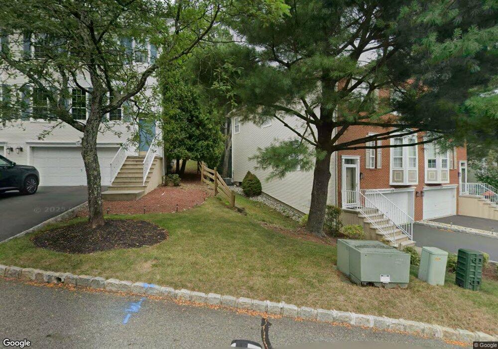
This home is located at 6 Gannett Ct, Wayne, NJ 07470 and is currently estimated at $703,021, approximately $363 per square foot. 6 Gannett Ct is a home located in Passaic County with nearby schools including John F. Kennedy Elementary School, Anthony Wayne Middle School, and Wayne Hills High School.
Ownership History
Date
Name
Owned For
Owner Type
Purchase Details
Closed on
Jun 26, 2003
Sold by
Melfa Frank
Bought by
Karlin Robert and Karlin Audrey
Current Estimated Value
Home Financials for this Owner
Home Financials are based on the most recent Mortgage that was taken out on this home.
Original Mortgage
$170,000
Outstanding Balance
$73,364
Interest Rate
5.46%
Estimated Equity
$629,657
Purchase Details
Closed on
Jul 31, 1997
Sold by
Ranges Mark and Ranges Deborah
Bought by
Melfa Frank and Melfa Michelle
Home Financials for this Owner
Home Financials are based on the most recent Mortgage that was taken out on this home.
Original Mortgage
$184,000
Interest Rate
7.5%
Purchase Details
Closed on
Aug 25, 1993
Sold by
K Hovnanian Inc
Bought by
Ranges Mark
Home Financials for this Owner
Home Financials are based on the most recent Mortgage that was taken out on this home.
Original Mortgage
$160,000
Interest Rate
6.9%
Create a Home Valuation Report for This Property
The Home Valuation Report is an in-depth analysis detailing your home's value as well as a comparison with similar homes in the area
Home Values in the Area
Average Home Value in this Area
Purchase History
| Date | Buyer | Sale Price | Title Company |
|---|---|---|---|
| Karlin Robert | $410,000 | -- | |
| Melfa Frank | $230,000 | -- | |
| Ranges Mark | $205,000 | -- |
Source: Public Records
Mortgage History
| Date | Status | Borrower | Loan Amount |
|---|---|---|---|
| Open | Karlin Robert | $170,000 | |
| Previous Owner | Melfa Frank | $184,000 | |
| Previous Owner | Ranges Mark | $160,000 |
Source: Public Records
Tax History
| Year | Tax Paid | Tax Assessment Tax Assessment Total Assessment is a certain percentage of the fair market value that is determined by local assessors to be the total taxable value of land and additions on the property. | Land | Improvement |
|---|---|---|---|---|
| 2025 | $13,051 | $219,500 | $75,000 | $144,500 |
| 2024 | $12,551 | $219,500 | $75,000 | $144,500 |
| 2022 | $12,411 | $219,500 | $75,000 | $144,500 |
| 2021 | $12,397 | $219,500 | $75,000 | $144,500 |
| 2020 | $12,342 | $219,500 | $75,000 | $144,500 |
| 2019 | $12,103 | $219,500 | $75,000 | $144,500 |
| 2018 | $11,996 | $219,500 | $75,000 | $144,500 |
| 2017 | $11,886 | $219,500 | $75,000 | $144,500 |
| 2016 | $11,719 | $219,500 | $75,000 | $144,500 |
| 2015 | $11,579 | $219,500 | $75,000 | $144,500 |
| 2014 | $11,252 | $219,500 | $75,000 | $144,500 |
Source: Public Records
Map
Nearby Homes
- 10 Gannett Ct
- 31 Gannett Ct
- 59 Morning Watch Rd
- 123 Bobolink Ct
- 211 Warbler Dr
- 160 Degray St
- 4101 Schindler Ln
- 1020 Belmont Ave
- 2108 Schindler Ln
- 28 School St
- 516 Four Seasons Dr
- 109 Four Seasons Dr
- 80 Squaw Brook Rd
- 84 Squaw Brook Rd
- 33 Lotz St
- 97 Squaw Brook Rd
- 807 High Mountain Rd
- 421 High Mountain Rd
- 415 High Mountain Rd
- 403 High Mountain Rd
Your Personal Tour Guide
Ask me questions while you tour the home.