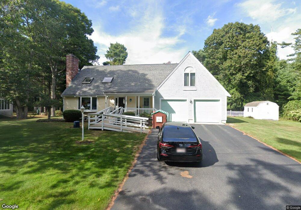
6 Glenwood Cir Wareham, MA 02571
Estimated Value: $695,782 - $753,000
4
Beds
3
Baths
2,201
Sq Ft
$330/Sq Ft
Est. Value
About This Home
This home is located at 6 Glenwood Cir, Wareham, MA 02571 and is currently estimated at $726,946, approximately $330 per square foot. 6 Glenwood Cir is a home located in Plymouth County.
Ownership History
Date
Name
Owned For
Owner Type
Purchase Details
Closed on
May 14, 2025
Sold by
Hawes Xueli Z and Hawes Kenneth R
Bought by
Hawes Ft and Hawes
Current Estimated Value
Purchase Details
Closed on
Dec 5, 2007
Sold by
Hawes Kenneth R
Bought by
Hawes Kenneth R and Hawes Xueli Z
Create a Home Valuation Report for This Property
The Home Valuation Report is an in-depth analysis detailing your home's value as well as a comparison with similar homes in the area
Purchase History
| Date | Buyer | Sale Price | Title Company |
|---|---|---|---|
| Hawes Ft | -- | None Available | |
| Hawes Ft | -- | None Available | |
| Hawes Kenneth R | -- | -- | |
| Hawes Kenneth R | -- | -- |
Source: Public Records
Mortgage History
| Date | Status | Borrower | Loan Amount |
|---|---|---|---|
| Previous Owner | Hawes Kenneth R | $84,000 | |
| Previous Owner | Hawes Kenneth R | $20,000 | |
| Previous Owner | Hawes Kenneth R | $73,500 |
Source: Public Records
Tax History
| Year | Tax Paid | Tax Assessment Tax Assessment Total Assessment is a certain percentage of the fair market value that is determined by local assessors to be the total taxable value of land and additions on the property. | Land | Improvement |
|---|---|---|---|---|
| 2025 | $6,721 | $645,000 | $128,300 | $516,700 |
| 2024 | $7,109 | $633,000 | $102,400 | $530,600 |
| 2023 | $6,739 | $560,200 | $93,100 | $467,100 |
| 2022 | $6,088 | $461,900 | $93,100 | $368,800 |
| 2021 | $5,980 | $444,600 | $93,100 | $351,500 |
| 2020 | $5,666 | $427,300 | $93,100 | $334,200 |
| 2019 | $5,506 | $414,300 | $94,400 | $319,900 |
| 2018 | $5,010 | $367,600 | $94,400 | $273,200 |
| 2017 | $4,866 | $361,800 | $94,400 | $267,400 |
| 2016 | $4,653 | $343,900 | $94,400 | $249,500 |
| 2015 | $4,495 | $343,900 | $94,400 | $249,500 |
| 2014 | $4,145 | $322,600 | $94,400 | $228,200 |
Source: Public Records
Map
Nearby Homes
- 10 Dowd Ave
- 7 Cranberry Ln
- 0 Squaw's Path
- 10 Oak St
- 65 Great Neck Rd
- 124 Minot Ave Unit 1
- 8 Over Jordan Rd
- 14 Over Jordan Rd
- 1 Gibbs Ball Park Rd
- 6 Allen Ave
- 15 Broadmarsh Ave
- 43 Shore Ave
- 391 Onset Ave
- 20 Grant St
- 6 Wildwood Ave
- 12 Oakdale St
- 21 Bayview St
- 12 Linwood Ave
- 10 Barnes St
- 276a Onset Ave
- 4 Glenwood Cir
- 11 Glenwood Cir
- 2 Glenwood Cir
- 3 Glenwood Cir
- 9 Glenwood Cir
- 1 Glenwood Cir
- 10 Glenwood Cir
- 154 Indian Neck Rd
- 152 Indian Neck Rd
- 150 Indian Neck Rd
- 5 Glenwood Cir
- 156 Indian Neck Rd
- 24 Glenwood Cir
- 1 Jacks Marsh Ln
- 1 Jacks Marsh Ln
- 12 Glenwood Cir
- 151 Indian Neck Rd
- 149 Indian Neck Rd
- 160 Indian Neck Rd
- 147 Indian Neck Rd
Your Personal Tour Guide
Ask me questions while you tour the home.