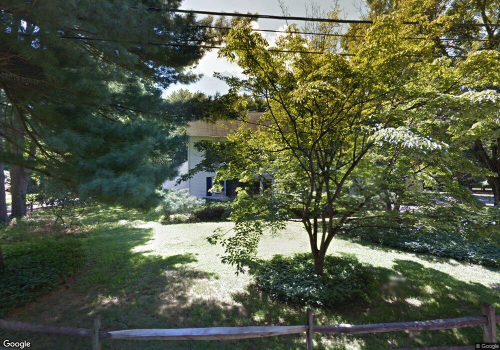
6 Godfrey Ln Westport, CT 06880
Staples NeighborhoodEstimated Value: $2,247,000 - $2,796,000
5
Beds
5
Baths
3,265
Sq Ft
$747/Sq Ft
Est. Value
About This Home
This home is located at 6 Godfrey Ln, Westport, CT 06880 and is currently estimated at $2,439,187, approximately $747 per square foot. 6 Godfrey Ln is a home located in Fairfield County with nearby schools including Long Lots School, Bedford Middle School, and Staples High School.
Ownership History
Date
Name
Owned For
Owner Type
Purchase Details
Closed on
Jul 29, 2010
Sold by
Keim Thomas R and Keim Louise
Bought by
Potter Jonathan R and Felsenfeld Sally
Current Estimated Value
Home Financials for this Owner
Home Financials are based on the most recent Mortgage that was taken out on this home.
Original Mortgage
$625,000
Outstanding Balance
$418,170
Interest Rate
4.78%
Estimated Equity
$2,021,017
Create a Home Valuation Report for This Property
The Home Valuation Report is an in-depth analysis detailing your home's value as well as a comparison with similar homes in the area
Home Values in the Area
Average Home Value in this Area
Purchase History
| Date | Buyer | Sale Price | Title Company |
|---|---|---|---|
| Potter Jonathan R | $1,240,000 | -- | |
| Potter Jonathan R | $1,240,000 | -- |
Source: Public Records
Mortgage History
| Date | Status | Borrower | Loan Amount |
|---|---|---|---|
| Open | Potter Jonathan R | $625,000 | |
| Closed | Potter Jonathan R | $625,000 | |
| Previous Owner | Potter Jonathan R | $86,466 | |
| Previous Owner | Potter Jonathan R | $87,000 |
Source: Public Records
Tax History Compared to Growth
Tax History
| Year | Tax Paid | Tax Assessment Tax Assessment Total Assessment is a certain percentage of the fair market value that is determined by local assessors to be the total taxable value of land and additions on the property. | Land | Improvement |
|---|---|---|---|---|
| 2025 | $17,027 | $902,800 | $403,800 | $499,000 |
| 2024 | $16,810 | $902,800 | $403,800 | $499,000 |
| 2023 | $16,566 | $902,800 | $403,800 | $499,000 |
| 2022 | $15,802 | $874,500 | $403,800 | $470,700 |
| 2021 | $14,310 | $791,900 | $403,800 | $388,100 |
| 2020 | $14,541 | $870,200 | $425,800 | $444,400 |
| 2019 | $14,672 | $870,200 | $425,800 | $444,400 |
| 2018 | $4,910 | $870,200 | $425,800 | $444,400 |
| 2017 | $4,835 | $869,700 | $425,800 | $443,900 |
| 2016 | $14,663 | $869,700 | $425,800 | $443,900 |
| 2015 | $13,631 | $753,500 | $352,700 | $400,800 |
| 2014 | $13,518 | $753,500 | $352,700 | $400,800 |
Source: Public Records
Map
Nearby Homes
- 107 Old Rd
- 1 Sturges Hwy Unit Lot 1
- 1 Sturges Hwy Unit 2
- 125 Old Rd
- 1 Coastal Ct
- 10 Debra Ln
- 1001 Hulls Farm Rd
- 1213 Cedar Rd
- 40 Maple Ave N
- 21 Sturges Commons
- 688 Hulls Farm Rd
- 7 High Gate Rd
- 220 Lansdowne
- 185 Regents Park
- 36 Maple Ave S
- 6 Bayberry Common
- 153 Pease Ave
- 1135 Mill Hill Rd
- 844 Mill Hill Terrace
- 7 Morningside Ln
- 4 Godfrey Ln
- 10 Godfrey Ln
- 7 Godfrey Ln
- 13 Godfrey Ln
- 9 Godfrey Ln
- 11 Godfrey Ln
- 76 Bulkley Ave N
- 12 Godfrey Ln
- 70 Bulkley Ave N
- 74 Bulkley Ave N
- 74 Buckley Ave N
- 68 Bulkley Ave N
- 64 Bulkley Ave N
- 78 Bulkley Ave N
- 9 Ulbrick Ln
- 66 Bulkley Ave N
- 2 Buttonwood Ln
- 8 Ulbrick Ln
- 192 Long Lots Rd
- 207 Sasco River Ln