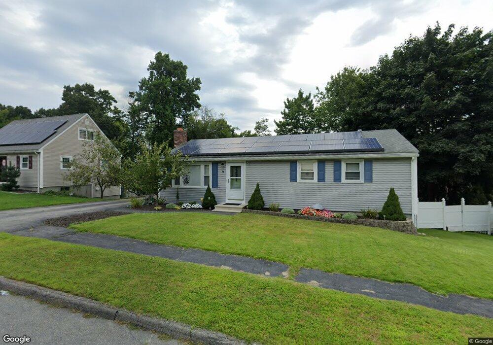
6 Green Farms Rd Worcester, MA 01605
Forest Grove NeighborhoodEstimated Value: $470,000 - $496,000
3
Beds
3
Baths
1,100
Sq Ft
$440/Sq Ft
Est. Value
About This Home
This home is located at 6 Green Farms Rd, Worcester, MA 01605 and is currently estimated at $483,611, approximately $439 per square foot. 6 Green Farms Rd is a home located in Worcester County with nearby schools including Nelson Place Elementary School, Jacob Hiatt Magnet School, and Chandler Magnet.
Ownership History
Date
Name
Owned For
Owner Type
Purchase Details
Closed on
Jul 10, 2002
Sold by
Abboud Paul M
Bought by
Jerome Richard J and Jerome Sharon L
Current Estimated Value
Home Financials for this Owner
Home Financials are based on the most recent Mortgage that was taken out on this home.
Original Mortgage
$150,000
Outstanding Balance
$63,949
Interest Rate
6.79%
Mortgage Type
Purchase Money Mortgage
Estimated Equity
$419,662
Purchase Details
Closed on
Jul 31, 1998
Sold by
Department Of Housing & Urban Dev
Bought by
Abboud Paul M
Purchase Details
Closed on
Jan 13, 1998
Sold by
Woollacott Peter
Bought by
Fleet Mtg Corp
Purchase Details
Closed on
Mar 26, 1992
Sold by
Oleski Donald and Oleski Mary
Bought by
Woollacott Peter and Woollacott Linda
Purchase Details
Closed on
May 29, 1987
Sold by
Sisti Robert
Bought by
Oleski Donald
Create a Home Valuation Report for This Property
The Home Valuation Report is an in-depth analysis detailing your home's value as well as a comparison with similar homes in the area
Home Values in the Area
Average Home Value in this Area
Purchase History
| Date | Buyer | Sale Price | Title Company |
|---|---|---|---|
| Jerome Richard J | $192,600 | -- | |
| Abboud Paul M | $118,302 | -- | |
| Fleet Mtg Corp | $139,999 | -- | |
| Woollacott Peter | $128,000 | -- | |
| Oleski Donald | $130,000 | -- |
Source: Public Records
Mortgage History
| Date | Status | Borrower | Loan Amount |
|---|---|---|---|
| Open | Oleski Donald | $150,000 | |
| Previous Owner | Oleski Donald | $74,815 | |
| Previous Owner | Oleski Donald | $36,000 |
Source: Public Records
Tax History Compared to Growth
Tax History
| Year | Tax Paid | Tax Assessment Tax Assessment Total Assessment is a certain percentage of the fair market value that is determined by local assessors to be the total taxable value of land and additions on the property. | Land | Improvement |
|---|---|---|---|---|
| 2025 | $5,337 | $404,600 | $118,300 | $286,300 |
| 2024 | $5,316 | $386,600 | $118,300 | $268,300 |
| 2023 | $5,164 | $360,100 | $102,900 | $257,200 |
| 2022 | $4,616 | $303,500 | $82,300 | $221,200 |
| 2021 | $4,516 | $277,400 | $65,900 | $211,500 |
| 2020 | $4,347 | $255,700 | $65,900 | $189,800 |
| 2019 | $4,108 | $228,200 | $59,300 | $168,900 |
| 2018 | $3,998 | $211,400 | $59,300 | $152,100 |
| 2017 | $4,063 | $211,400 | $59,300 | $152,100 |
| 2016 | $4,011 | $194,600 | $43,400 | $151,200 |
| 2015 | $3,906 | $194,600 | $43,400 | $151,200 |
| 2014 | $3,802 | $194,600 | $43,400 | $151,200 |
Source: Public Records
Map
Nearby Homes
- 7 Otter Trail
- 17 Leslie Rd
- 12 Tattan Farm Rd
- 97 Parkton Ave
- 61 Barry Rd
- 49 Barry Rd
- 90 Lynnwood Ln
- 46 Barry Rd
- 303 Greenwich Ct Unit 303
- 3901 Knightsbridge Close Unit 3901
- 4004 Brompton Cir
- 9 Emily St
- 82 Holden St
- 770 Salisbury St Unit 201
- 113 Indian Hill Rd
- 667 Grove St
- 96 Indian Hill Rd
- 308 Holden St
- 16 Mohave Rd
- 4 Barrows Rd