6 Greentree Ln Byfield, MA 01922
Estimated Value: $835,574 - $981,000
3
Beds
2
Baths
2,418
Sq Ft
$378/Sq Ft
Est. Value
About This Home
This home is located at 6 Greentree Ln, Byfield, MA 01922 and is currently estimated at $915,144, approximately $378 per square foot. 6 Greentree Ln is a home located in Essex County with nearby schools including Triton Regional High School, North Shore Montessori School, and Clark School.
Ownership History
Date
Name
Owned For
Owner Type
Purchase Details
Closed on
Feb 11, 2021
Sold by
6 Greentree Lane T
Bought by
Jeanne G Cannell Irt
Current Estimated Value
Purchase Details
Closed on
Apr 14, 2014
Sold by
Cannell Jeanne G
Bought by
6 Greentree Lane T and Cannell
Create a Home Valuation Report for This Property
The Home Valuation Report is an in-depth analysis detailing your home's value as well as a comparison with similar homes in the area
Home Values in the Area
Average Home Value in this Area
Purchase History
We collect this data history from publicly available records. To have your information removed, we recommend requesting removal directly through your county’s website.
| Date | Buyer | Sale Price | Title Company |
|---|---|---|---|
| Jeanne G Cannell Irt | -- | None Available | |
| Jeanne G Cannell Irt | -- | None Available | |
| Jeanne G Cannell Irt | -- | None Available | |
| 6 Greentree Lane T | -- | -- | |
| 6 Greentree Lane T | -- | -- |
Source: Public Records
Mortgage History
We collect this data history from publicly available records. To have your information removed, we recommend requesting removal directly through your county’s website.
| Date | Status | Borrower | Loan Amount |
|---|---|---|---|
| Previous Owner | 6 Greentree Lane T | $100,000 | |
| Previous Owner | 6 Greentree Lane T | $108,000 |
Source: Public Records
Tax History
| Year | Tax Paid | Tax Assessment Tax Assessment Total Assessment is a certain percentage of the fair market value that is determined by local assessors to be the total taxable value of land and additions on the property. | Land | Improvement |
|---|---|---|---|---|
| 2025 | $6,193 | $831,300 | $348,800 | $482,500 |
| 2024 | $5,964 | $776,500 | $310,100 | $466,400 |
| 2023 | $6,058 | $698,700 | $271,300 | $427,400 |
| 2022 | $5,917 | $608,100 | $232,600 | $375,500 |
| 2021 | $5,713 | $535,900 | $193,800 | $342,100 |
| 2020 | $5,184 | $471,700 | $193,800 | $277,900 |
| 2019 | $5,099 | $471,700 | $193,800 | $277,900 |
| 2018 | $4,888 | $448,400 | $188,000 | $260,400 |
| 2017 | $4,664 | $439,600 | $188,000 | $251,600 |
| 2016 | $4,628 | $406,000 | $174,400 | $231,600 |
| 2015 | $4,677 | $406,000 | $174,400 | $231,600 |
| 2014 | $4,486 | $396,300 | $164,700 | $231,600 |
Source: Public Records
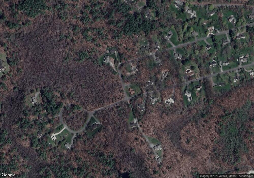
Map
Nearby Homes
- 21 Greentree Ln
- 87 Elm St
- 60 Caldwell Farm Rd
- 601 Newburyport Turnpike
- 167 Elm St
- 439 Wethersfield St
- 399 Wethersfield St
- 413 Wethersfield St
- 304 & 480 Wethersfield St & Nbpt Tnpk
- 304-312 Wethersfield St
- 312 Wethersfield St
- 1 Confidential Way
- 23 Oak Ledge Cir
- 215 Wethersfield St
- 29 Orchard St
- 25 Christa Dr
- 13 Cricket Ln Unit 13-DOGWOOD
- 11 Cricket Ln Unit 11-Chestnut
- 34 Central St Unit 34 Lincoln
- 34 Central St Unit 44 Kennedy
- 4 Greentree Ln
- 3 Greentree Ln
- 1 Longbrook Rd
- 8 Greentree Ln
- 5 Greentree Ln
- 3 Longbrook Rd
- 1 Greentree Ln
- 21 Coleman Rd
- 19 Coleman Rd
- 10 Greentree Ln
- 136 Weldon Farm Rd
- 15 Coleman Rd
- 7 Greentree Ln
- 130 Weldon Farm Rd
- 23 Coleman Rd
- 2 Fieldstone Ln
- 25 Coleman Rd
- 5 Longbrook Rd
- 4 Fieldstone Ln
- 9 Greentree Ln
Your Personal Tour Guide
Ask me questions while you tour the home.