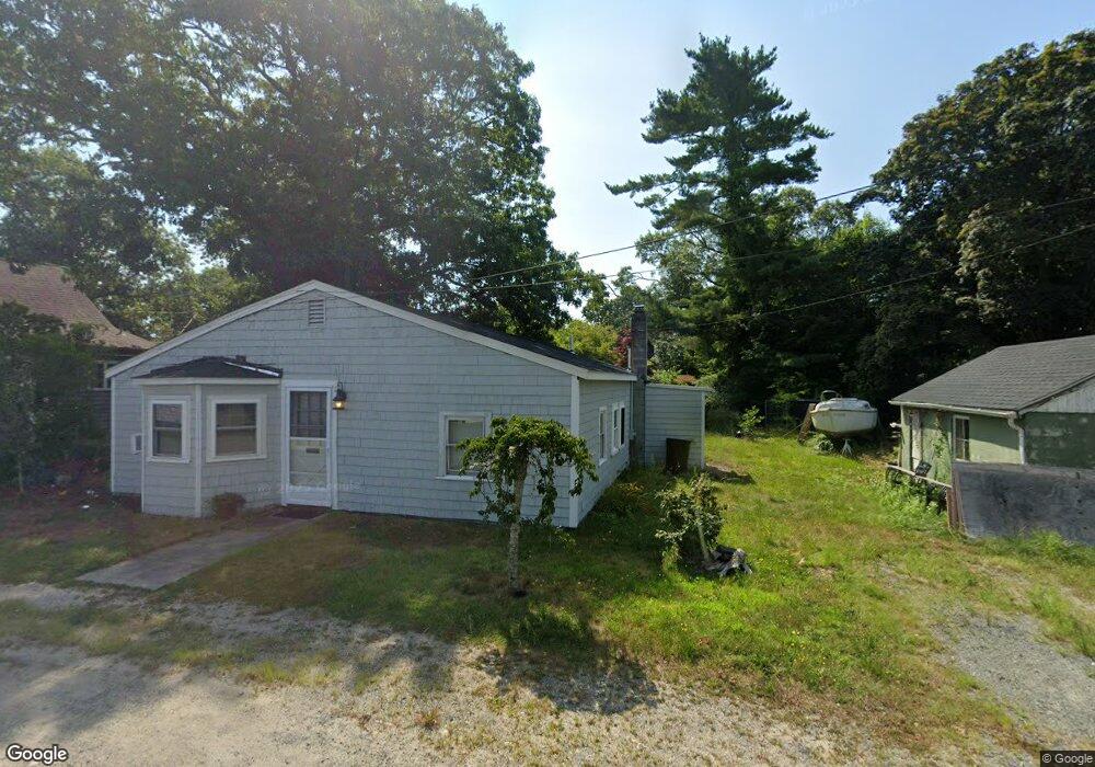
6 Gurney St Wareham, MA 02571
Estimated Value: $396,651 - $494,000
2
Beds
1
Bath
957
Sq Ft
$472/Sq Ft
Est. Value
About This Home
This home is located at 6 Gurney St, Wareham, MA 02571 and is currently estimated at $451,413, approximately $471 per square foot. 6 Gurney St is a home located in Plymouth County.
Ownership History
Date
Name
Owned For
Owner Type
Purchase Details
Closed on
Jan 30, 2002
Sold by
Edmunds Alfred
Bought by
Minnick Robert P
Current Estimated Value
Home Financials for this Owner
Home Financials are based on the most recent Mortgage that was taken out on this home.
Original Mortgage
$142,800
Interest Rate
7.15%
Mortgage Type
Purchase Money Mortgage
Create a Home Valuation Report for This Property
The Home Valuation Report is an in-depth analysis detailing your home's value as well as a comparison with similar homes in the area
Home Values in the Area
Average Home Value in this Area
Purchase History
| Date | Buyer | Sale Price | Title Company |
|---|---|---|---|
| Minnick Robert P | $140,000 | -- | |
| Minnick Robert P | $140,000 | -- |
Source: Public Records
Mortgage History
| Date | Status | Borrower | Loan Amount |
|---|---|---|---|
| Open | Minnick Robert P | $130,084 | |
| Closed | Minnick Robert P | $85,000 | |
| Closed | Minnick Robert P | $144,215 | |
| Closed | Minnick Robert P | $142,800 |
Source: Public Records
Tax History
| Year | Tax Paid | Tax Assessment Tax Assessment Total Assessment is a certain percentage of the fair market value that is determined by local assessors to be the total taxable value of land and additions on the property. | Land | Improvement |
|---|---|---|---|---|
| 2025 | $3,868 | $352,300 | $174,900 | $177,400 |
| 2024 | $3,668 | $314,000 | $130,700 | $183,300 |
| 2023 | $3,513 | $285,600 | $118,800 | $166,800 |
| 2022 | $3,393 | $249,100 | $118,800 | $130,300 |
| 2021 | $3,233 | $230,900 | $118,800 | $112,100 |
| 2020 | $3,100 | $226,100 | $118,800 | $107,300 |
| 2019 | $2,929 | $216,000 | $112,200 | $103,800 |
| 2018 | $2,816 | $200,600 | $112,200 | $88,400 |
| 2017 | $2,804 | $200,600 | $112,200 | $88,400 |
| 2016 | $2,447 | $173,700 | $98,400 | $75,300 |
| 2015 | $2,355 | $171,900 | $98,400 | $73,500 |
| 2014 | $2,518 | $189,500 | $97,100 | $92,400 |
Source: Public Records
Map
Nearby Homes
- 10 Beacon St Unit 83
- 11 10th St
- 14 Over Jordan Rd
- 10 East Blvd
- 8 Over Jordan Rd
- 10 East Blvd
- 65 Great Neck Rd
- 200 Great Neck Rd
- 20 Evergreen St
- 20 Evergreen St
- 0 Squaw's Path
- 35 Locust St
- 35 Locust St
- 3 Carleton St Unit 3
- 32 Carleton St Unit 32
- 29 Carleton St Unit 29
- 0 Broad St Off Unit 72362523
- 391 Onset Ave
- 19 Maple St
- Lot 108 21st St
- 54 Longwood Ave Unit 11
- 54 Longwood Ave Unit 30
- 54 Longwood Ave Unit 10
- 54 Longwood Ave
- 43 Central Ave
- 41 W Central Ave
- 48 Longwood Ave
- 2 Quentin Way
- 2 Jenifer Dr
- 2 Hill Rd
- 47 W Central Ave
- 46 Longwood Ave
- 16 2nd St
- 37 Central Ave
- 49 W Central Ave
- 49 Central Ave
- 44 Longwood Ave
- 57 Longwood Ave
- 35 W Central Ave
- 35 W Central Ave Unit 3
Your Personal Tour Guide
Ask me questions while you tour the home.