6 Hampton Ln Cincinnati, OH 45208
Hyde Park NeighborhoodEstimated Value: $790,000 - $1,322,212
3
Beds
3
Baths
2,343
Sq Ft
$489/Sq Ft
Est. Value
About This Home
This home is located at 6 Hampton Ln, Cincinnati, OH 45208 and is currently estimated at $1,146,803, approximately $489 per square foot. 6 Hampton Ln is a home located in Hamilton County with nearby schools including Kilgour Elementary School, Clark Montessori High School, and Shroder High School.
Ownership History
Date
Name
Owned For
Owner Type
Purchase Details
Closed on
Dec 9, 2016
Sold by
Kitzmiller David A
Bought by
Obrien Michael and Obrien Carol
Current Estimated Value
Purchase Details
Closed on
Dec 19, 2012
Sold by
Squeri Barbara P and Squeri Barbara A
Bought by
Kitzmiller David A and The Barbara A Squeri Hamptoh Lane Irrevo
Create a Home Valuation Report for This Property
The Home Valuation Report is an in-depth analysis detailing your home's value as well as a comparison with similar homes in the area
Home Values in the Area
Average Home Value in this Area
Purchase History
We collect this data history from publicly available records. To have your information removed, we recommend requesting removal directly through your county’s website.
| Date | Buyer | Sale Price | Title Company |
|---|---|---|---|
| Obrien Michael | $1,012,500 | -- | |
| Kitzmiller David A | -- | Attorney |
Source: Public Records
Tax History
| Year | Tax Paid | Tax Assessment Tax Assessment Total Assessment is a certain percentage of the fair market value that is determined by local assessors to be the total taxable value of land and additions on the property. | Land | Improvement |
|---|---|---|---|---|
| 2025 | $24,092 | $380,790 | $130,200 | $250,590 |
| 2024 | $24,058 | $380,790 | $130,200 | $250,590 |
| 2023 | $24,101 | $380,790 | $130,200 | $250,590 |
| 2022 | $23,465 | $333,550 | $125,860 | $207,690 |
| 2021 | $23,080 | $333,550 | $125,860 | $207,690 |
| 2020 | $23,147 | $333,550 | $125,860 | $207,690 |
| 2019 | $27,013 | $354,375 | $108,500 | $245,875 |
| 2018 | $27,034 | $354,375 | $108,500 | $245,875 |
| 2017 | $26,041 | $354,375 | $108,500 | $245,875 |
| 2016 | $21,377 | $300,997 | $105,245 | $195,752 |
| 2015 | $19,268 | $300,997 | $105,245 | $195,752 |
| 2014 | $19,406 | $300,997 | $105,245 | $195,752 |
| 2013 | $20,357 | $310,307 | $108,500 | $201,807 |
Source: Public Records
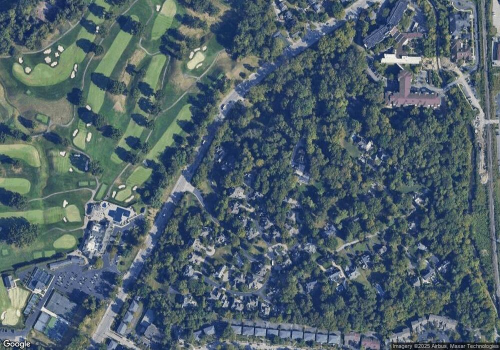
Map
Nearby Homes
- 6 Forest Hill Dr
- 3706 Broadview Dr
- 3666 Willowlea Ct
- 3640 Saybrook Ave
- 3697 Saybrook Ave
- 3433 Traskwood Cir
- 3783 Aylesboro Ave
- 3486 Forestoak Ct Unit 98
- 3635 Ault Park Ave
- 3540 Forestoak Ct
- 3443 Oak View Place
- 4422 Canyon Oak Ct
- 4418 Canyon Oak Ct
- 2947 Iron Oak Ln
- 3640 Herschel Ave
- 4157 Paxton Woods Ln
- 3655 Brotherton Rd
- 3711 Marburg Ave
- 3674 Brotherton Rd
- 5508 Arnsby Place
Your Personal Tour Guide
Ask me questions while you tour the home.