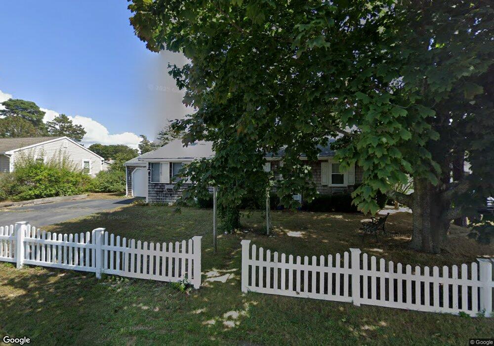
6 Harvard Rd Dennis Port, MA 02639
Dennis Port NeighborhoodEstimated Value: $590,000 - $665,000
3
Beds
1
Bath
1,001
Sq Ft
$627/Sq Ft
Est. Value
About This Home
This home is located at 6 Harvard Rd, Dennis Port, MA 02639 and is currently estimated at $627,939, approximately $627 per square foot. 6 Harvard Rd is a home located in Barnstable County with nearby schools including Dennis-Yarmouth Regional High School and St. Pius X. School.
Ownership History
Date
Name
Owned For
Owner Type
Purchase Details
Closed on
Aug 13, 2010
Sold by
Kelly Thomas F
Bought by
Matte Christine and Mayer Carrie Ann
Current Estimated Value
Purchase Details
Closed on
Feb 20, 2003
Sold by
Ledwak Helena F
Bought by
Kelly Thomas F
Home Financials for this Owner
Home Financials are based on the most recent Mortgage that was taken out on this home.
Original Mortgage
$155,500
Interest Rate
5.98%
Mortgage Type
Purchase Money Mortgage
Create a Home Valuation Report for This Property
The Home Valuation Report is an in-depth analysis detailing your home's value as well as a comparison with similar homes in the area
Home Values in the Area
Average Home Value in this Area
Purchase History
| Date | Buyer | Sale Price | Title Company |
|---|---|---|---|
| Matte Christine | -- | -- | |
| Kelly Thomas F | $255,500 | -- |
Source: Public Records
Mortgage History
| Date | Status | Borrower | Loan Amount |
|---|---|---|---|
| Previous Owner | Kelly Thomas F | $155,500 |
Source: Public Records
Tax History Compared to Growth
Tax History
| Year | Tax Paid | Tax Assessment Tax Assessment Total Assessment is a certain percentage of the fair market value that is determined by local assessors to be the total taxable value of land and additions on the property. | Land | Improvement |
|---|---|---|---|---|
| 2025 | $2,829 | $653,400 | $202,200 | $451,200 |
| 2024 | $2,631 | $599,400 | $194,500 | $404,900 |
| 2023 | $2,545 | $544,900 | $176,800 | $368,100 |
| 2022 | $2,412 | $430,800 | $159,300 | $271,500 |
| 2021 | $2,422 | $401,600 | $178,400 | $223,200 |
| 2020 | $4,223 | $358,800 | $156,100 | $202,700 |
| 2019 | $2,058 | $333,500 | $153,100 | $180,400 |
| 2018 | $3,710 | $307,700 | $145,700 | $162,000 |
| 2017 | $1,797 | $292,200 | $135,300 | $156,900 |
| 2016 | $1,795 | $274,900 | $145,700 | $129,200 |
| 2015 | $1,637 | $255,800 | $145,700 | $110,100 |
| 2014 | $1,489 | $234,500 | $124,900 | $109,600 |
Source: Public Records
Map
Nearby Homes
- 19 Standish Way
- 4 Coffey Ln
- 71 Main St
- 125 Main St Unit 3
- 22 Wixon Rd
- 80 Michaels Ave
- 12 Spoonbill Rd
- 72 Bassett Ln
- 31 Easy St
- 268 Main St
- 15 Woodside Park Rd
- 95 Center St
- 26 Center St
- 37 Ocean Dr Unit 2
- 78 Upper County Rd Unit A&B
- 78 Upper County Rd
- 61 Trotters Ln
- 3 Pinefield Ln
- 64 Beaten Rd
- 22 Ferncliff Rd