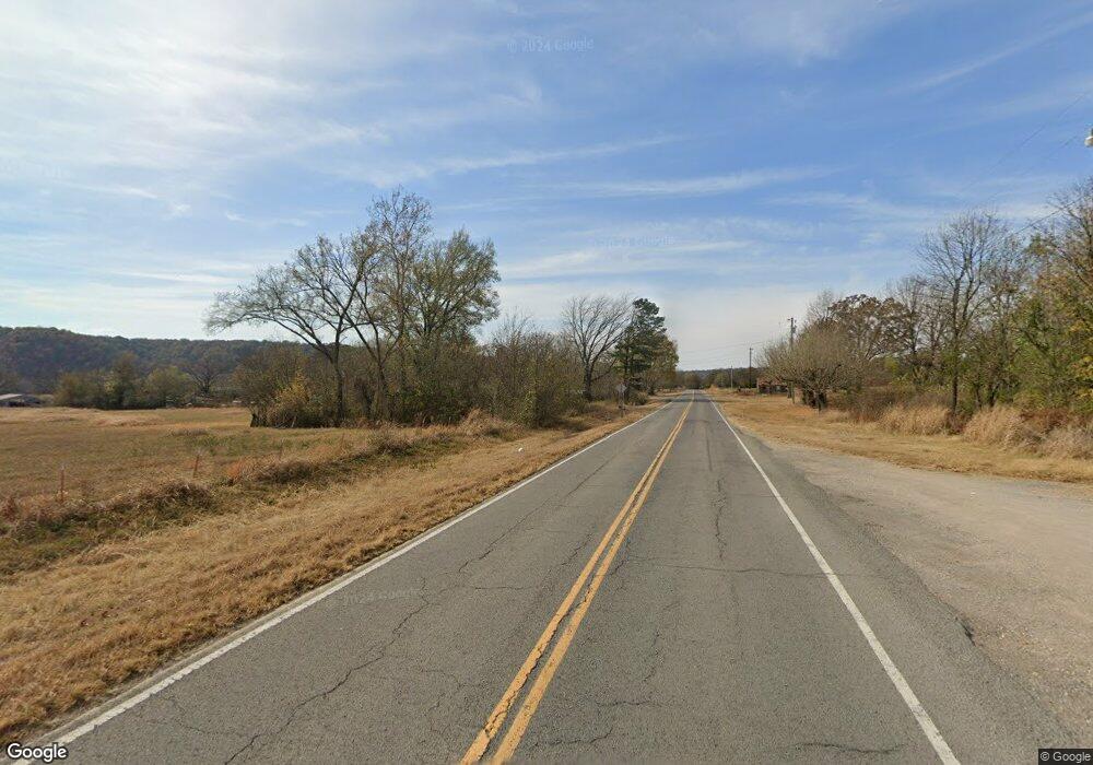
6 Hc 66 Proctor, OK 74457
Estimated Value: $207,000
3
Beds
1
Bath
1,560
Sq Ft
$133/Sq Ft
Est. Value
About This Home
This home is located at 6 Hc 66, Proctor, OK 74457 and is currently estimated at $207,000, approximately $132 per square foot. 6 Hc 66 is a home located in Adair County with nearby schools including Westville Elementary School, Westville Junior High School, and Westville High School.
Ownership History
Date
Name
Owned For
Owner Type
Purchase Details
Closed on
Mar 17, 2022
Sold by
Garlin Keen
Bought by
Housing Authority Of The Cherokee Nation Of O
Current Estimated Value
Purchase Details
Closed on
Sep 10, 2021
Sold by
Garlin Keen
Bought by
Housing Authority Of The Cherokee Nation Of O
Purchase Details
Closed on
Nov 6, 2020
Sold by
Wolfe Mike W and Wolfe Nola Beth
Bought by
Keen Garlin and Philpott Glenna
Purchase Details
Closed on
Jun 14, 2020
Sold by
Ferguson Roy
Bought by
Keen Garlin
Create a Home Valuation Report for This Property
The Home Valuation Report is an in-depth analysis detailing your home's value as well as a comparison with similar homes in the area
Purchase History
| Date | Buyer | Sale Price | Title Company |
|---|---|---|---|
| Housing Authority Of The Cherokee Nation Of O | -- | None Listed On Document | |
| Housing Authority Of The Cherokee Nation Of O | $17,466 | None Listed On Document | |
| Keen Garlin | $30,000 | Old Republic Natl Ttl Ins Co | |
| Keen Garlin | $100,000 | None Available |
Source: Public Records
Tax History Compared to Growth
Tax History
| Year | Tax Paid | Tax Assessment Tax Assessment Total Assessment is a certain percentage of the fair market value that is determined by local assessors to be the total taxable value of land and additions on the property. | Land | Improvement |
|---|---|---|---|---|
| 2025 | $218 | $2,745 | $1,811 | $934 |
| 2024 | $208 | $2,665 | $1,811 | $854 |
| 2023 | $208 | $2,588 | $1,811 | $777 |
| 2022 | $196 | $2,513 | $1,811 | $702 |
| 2021 | $197 | $2,513 | $1,811 | $702 |
| 2020 | $198 | $2,513 | $1,811 | $702 |
| 2019 | $198 | $2,513 | $1,811 | $702 |
| 2018 | $492 | $6,507 | $1,750 | $4,757 |
| 2017 | $484 | $6,318 | $1,571 | $4,747 |
| 2016 | $333 | $6,318 | $1,571 | $4,747 |
| 2015 | $356 | $6,318 | $1,571 | $4,747 |
| 2014 | $356 | $7,053 | $1,571 | $5,482 |
Source: Public Records
Map
Nearby Homes
- 14554 N 603 Rd
- 66910 S 4655 Rd
- 81118 S 4725 Rd
- 78332 S 4760 Rd
- 81134 S 4720 Rd
- 69000 S 4664 Rd
- 462548 E 635 Rd
- 468000 E 595 Rd
- 467000 E 595 Rd
- 467875 U S 62
- 25302 Oklahoma 51
- 0 Pigeon Ridge Unit 2600861
- 24500 E 741 Rd
- 468235 U S 62
- 24536 E Woodland Rd
- 2000 N Sunset Strip
- 465030 McSpadden Ridge Rd
- 65300 Blackhawk Ridge Rd
- 0 Alder Way
- 202 Alder Way
