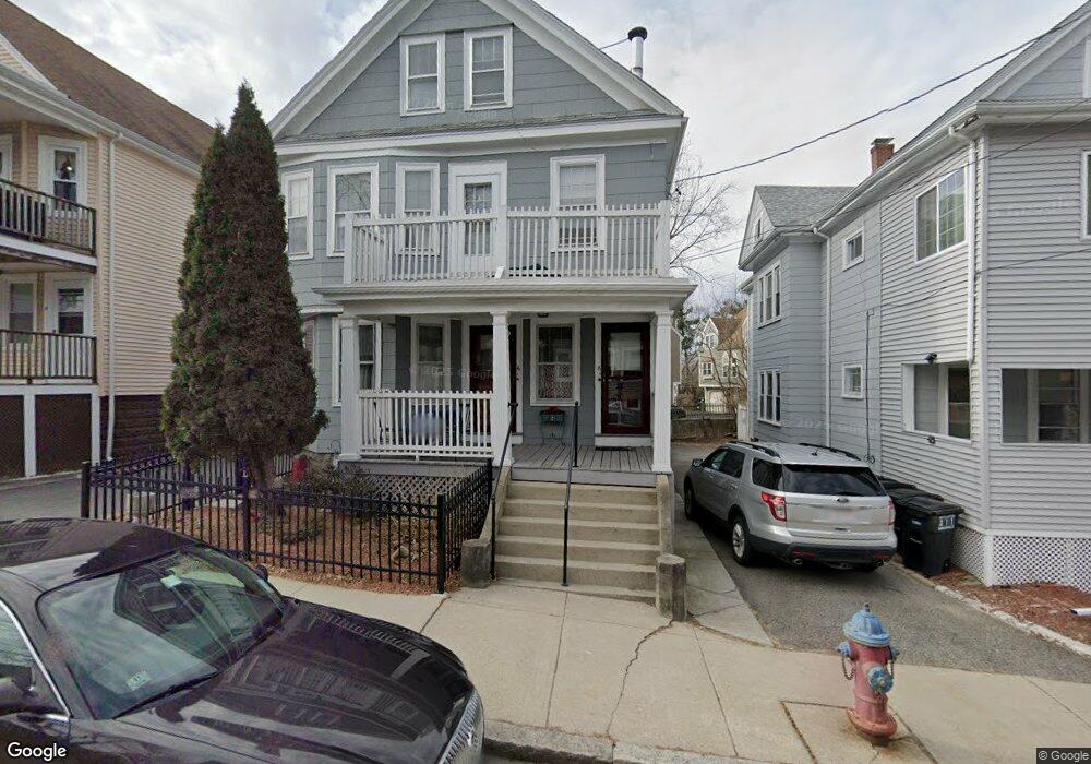
6 High St Somerville, MA 02144
West Somerville NeighborhoodEstimated Value: $1,162,000 - $1,230,000
4
Beds
2
Baths
2,554
Sq Ft
$466/Sq Ft
Est. Value
About This Home
This home is located at 6 High St, Somerville, MA 02144 and is currently estimated at $1,190,394, approximately $466 per square foot. 6 High St is a home located in Middlesex County with nearby schools including Somerville High School, International School of Boston, and Lesley Ellis School.
Ownership History
Date
Name
Owned For
Owner Type
Purchase Details
Closed on
Dec 19, 2008
Sold by
Stringos Constantina and Stringos George S
Bought by
Stringos Dana N
Current Estimated Value
Home Financials for this Owner
Home Financials are based on the most recent Mortgage that was taken out on this home.
Original Mortgage
$215,000
Outstanding Balance
$143,029
Interest Rate
6.27%
Mortgage Type
Purchase Money Mortgage
Estimated Equity
$1,047,365
Create a Home Valuation Report for This Property
The Home Valuation Report is an in-depth analysis detailing your home's value as well as a comparison with similar homes in the area
Home Values in the Area
Average Home Value in this Area
Purchase History
| Date | Buyer | Sale Price | Title Company |
|---|---|---|---|
| Stringos Dana N | $215,000 | -- |
Source: Public Records
Mortgage History
| Date | Status | Borrower | Loan Amount |
|---|---|---|---|
| Open | Stringos Dana N | $215,000 |
Source: Public Records
Tax History
| Year | Tax Paid | Tax Assessment Tax Assessment Total Assessment is a certain percentage of the fair market value that is determined by local assessors to be the total taxable value of land and additions on the property. | Land | Improvement |
|---|---|---|---|---|
| 2025 | $10,357 | $949,300 | $569,500 | $379,800 |
| 2024 | $9,781 | $929,800 | $569,500 | $360,300 |
| 2023 | $9,549 | $923,500 | $569,500 | $354,000 |
| 2022 | $8,828 | $867,200 | $542,400 | $324,800 |
| 2021 | $8,618 | $845,700 | $538,400 | $307,300 |
| 2020 | $8,479 | $840,300 | $538,800 | $301,500 |
| 2019 | $7,998 | $743,300 | $490,500 | $252,800 |
| 2018 | $7,722 | $682,800 | $445,900 | $236,900 |
| 2017 | $7,447 | $638,100 | $420,600 | $217,500 |
| 2016 | $7,571 | $604,200 | $375,600 | $228,600 |
Source: Public Records
Map
Nearby Homes
- 123 W Adams St Unit 1
- 142 North St
- 150 North St Unit 150
- 327 Alewife Brook Pkwy Unit A
- 327 Alewife Brook Pkwy Unit B
- 233 Powder House Blvd
- 69 Sterling St
- 6 Hamilton Rd Unit 6
- 25 Upland Rd
- 202 Powder House Blvd Unit 1
- 202 Powder House Blvd Unit 2
- 395 Alewife Brook Pkwy Unit 2C
- 14 Farragut Ave Unit 1
- 76 Orchard St
- 6 Gordon Rd
- 69 Electric Ave Unit 3
- 69 Electric Ave Unit 1
- 58 Dearborn St
- 89 Cleveland St Unit 89
- 42 Packard Ave Unit 42
- 6 High St Unit 2
- 8 High St Unit 4-2b
- 8 High St Unit 4-2a
- 4 High St
- 4 High St Unit High st somerville
- 4 High St Unit 4
- 4 High St Unit 2
- 4 High St
- 2 High St Unit 2
- 2 High St Unit T
- 4 High St Unit R
- 2 High St Unit 4
- 4 High St Unit 1
- 2 High St
- 2 High St Unit 1
- 4 High St Unit T
- 2 High St Unit R
- 2 High St
- 10 High St
- 10 High St
Your Personal Tour Guide
Ask me questions while you tour the home.