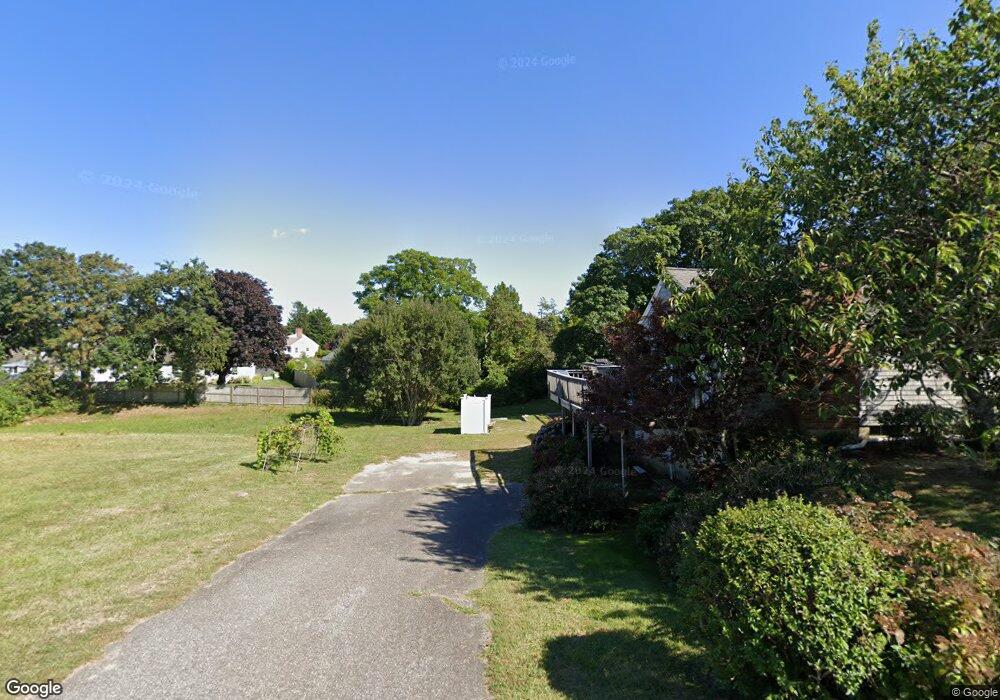
6 Howes St Dennis, MA 02638
East Dennis NeighborhoodEstimated Value: $664,000 - $2,464,000
5
Beds
2
Baths
1,904
Sq Ft
$701/Sq Ft
Est. Value
About This Home
This home is located at 6 Howes St, Dennis, MA 02638 and is currently estimated at $1,334,551, approximately $700 per square foot. 6 Howes St is a home located in Barnstable County with nearby schools including Dennis-Yarmouth Regional High School.
Ownership History
Date
Name
Owned For
Owner Type
Purchase Details
Closed on
Dec 12, 2012
Sold by
Joan Y Richardson Ft and Richardson
Bought by
Richardson Sarah E
Current Estimated Value
Purchase Details
Closed on
Jun 18, 2009
Sold by
Richardson Joan Yates
Bought by
Joan Y Richardson Ft and Richardson
Purchase Details
Closed on
Aug 18, 2006
Sold by
M & V Llc
Bought by
Zukowski Rose
Create a Home Valuation Report for This Property
The Home Valuation Report is an in-depth analysis detailing your home's value as well as a comparison with similar homes in the area
Home Values in the Area
Average Home Value in this Area
Purchase History
| Date | Buyer | Sale Price | Title Company |
|---|---|---|---|
| Richardson Sarah E | $580,000 | -- | |
| Richardson Sarah E | $580,000 | -- | |
| Richardson Sarah E | $580,000 | -- | |
| Joan Y Richardson Ft | -- | -- | |
| Joan Y Richardson Ft | -- | -- | |
| Zukowski Rose | $89,900 | -- | |
| Zukowski Rose | $89,900 | -- |
Source: Public Records
Mortgage History
| Date | Status | Borrower | Loan Amount |
|---|---|---|---|
| Closed | Richardson Sarah E | $0 |
Source: Public Records
Tax History
| Year | Tax Paid | Tax Assessment Tax Assessment Total Assessment is a certain percentage of the fair market value that is determined by local assessors to be the total taxable value of land and additions on the property. | Land | Improvement |
|---|---|---|---|---|
| 2025 | $5,096 | $1,177,000 | $733,400 | $443,600 |
| 2024 | $5,099 | $1,161,600 | $705,300 | $456,300 |
| 2023 | $4,932 | $1,056,100 | $641,100 | $415,000 |
| 2022 | $4,957 | $885,200 | $577,600 | $307,600 |
| 2021 | $4,971 | $824,400 | $566,200 | $258,200 |
| 2020 | $4,205 | $689,400 | $411,800 | $277,600 |
| 2019 | $4,462 | $723,200 | $434,000 | $289,200 |
| 2018 | $4,230 | $667,200 | $413,200 | $254,000 |
| 2017 | $4,103 | $667,200 | $413,200 | $254,000 |
| 2016 | $4,199 | $643,100 | $427,600 | $215,500 |
| 2015 | $4,116 | $643,100 | $427,600 | $215,500 |
| 2014 | $4,179 | $658,100 | $427,600 | $230,500 |
Source: Public Records
Map
Nearby Homes
- 32 Captain Walsh Dr
- 71 Grassy Pond Dr
- 16 Hazelwood Rd
- 61 Terrace Hill Dr
- 58 Terrace Hill Dr
- 52 Uncle Bobs Way
- 10 Uncle Bills Way
- 68 Sea Meadow Dr
- 39 Whittier Dr
- 31 High Head Rd
- 26 S West Dr
- 18 Asack Dr
- 14 S Yarmouth Rd
- 4 Surrey Ln
- 102 Prince Way
- 35 Crown Grant Dr
- 268 Main St
- 149 Greenland Cir
- 1 Charing Cross Rd
- 59 Main St Unit 7-3
- 4 Captain Walsh Rd
- 8 Captain Walsh Rd
- 0 Victoria Ln
- 0 Victoria Ln
- 598 Old Bass River Rd
- 7 Captain Walsh Rd
- 599 Old Bass River Rd
- 7 Captain Walsh Rd
- 14 Captain Walsh Rd
- 14 Captain Walsh Rd
- 41 Phyllis Rd
- 13 Captain Walsh Dr
- 592 Old Bass River Rd
- 592 Old Bass River Rd Unit 2,4
- 597 Old Bass River Rd
- 13 Captain Walsh Rd
- 20 Captain Walsh Rd
- 35 Phyllis Rd
- 635-D Old Bass River Rd
- 635-A Old Bass River Rd
Your Personal Tour Guide
Ask me questions while you tour the home.