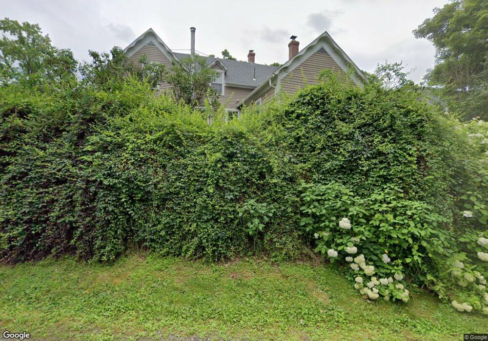
6 Humphrey Rd Canton, CT 06019
Estimated Value: $426,000 - $600,000
4
Beds
2
Baths
1,835
Sq Ft
$260/Sq Ft
Est. Value
About This Home
This home is located at 6 Humphrey Rd, Canton, CT 06019 and is currently estimated at $477,831, approximately $260 per square foot. 6 Humphrey Rd is a home located in Hartford County with nearby schools including Cherry Brook Primary School, Canton Intermediate School, and Canton Middle School.
Ownership History
Date
Name
Owned For
Owner Type
Purchase Details
Closed on
Dec 10, 2015
Sold by
Sweeton Ft
Bought by
Bristol Margaret D and Bristol Nathaniel C
Current Estimated Value
Home Financials for this Owner
Home Financials are based on the most recent Mortgage that was taken out on this home.
Original Mortgage
$270,750
Outstanding Balance
$216,228
Interest Rate
3.77%
Estimated Equity
$261,603
Create a Home Valuation Report for This Property
The Home Valuation Report is an in-depth analysis detailing your home's value as well as a comparison with similar homes in the area
Home Values in the Area
Average Home Value in this Area
Purchase History
| Date | Buyer | Sale Price | Title Company |
|---|---|---|---|
| Bristol Margaret D | $287,000 | -- | |
| Bristol Margaret D | $287,000 | -- |
Source: Public Records
Mortgage History
| Date | Status | Borrower | Loan Amount |
|---|---|---|---|
| Open | Bristol Margaret D | $270,750 | |
| Closed | Bristol Margaret D | $270,750 |
Source: Public Records
Tax History Compared to Growth
Tax History
| Year | Tax Paid | Tax Assessment Tax Assessment Total Assessment is a certain percentage of the fair market value that is determined by local assessors to be the total taxable value of land and additions on the property. | Land | Improvement |
|---|---|---|---|---|
| 2025 | $8,278 | $247,100 | $75,640 | $171,460 |
| 2024 | $8,438 | $247,100 | $75,640 | $171,460 |
| 2023 | $6,316 | $178,580 | $67,140 | $111,440 |
| 2022 | $6,016 | $178,580 | $67,140 | $111,440 |
| 2021 | $5,932 | $178,580 | $67,140 | $111,440 |
| 2020 | $5,820 | $178,580 | $67,140 | $111,440 |
| 2019 | $5,720 | $178,580 | $67,140 | $111,440 |
| 2018 | $6,288 | $204,810 | $69,230 | $135,580 |
| 2017 | $6,245 | $204,810 | $69,230 | $135,580 |
| 2016 | $6,095 | $204,810 | $69,230 | $135,580 |
| 2015 | $5,978 | $204,810 | $69,230 | $135,580 |
| 2014 | $5,849 | $204,810 | $69,230 | $135,580 |
Source: Public Records
Map
Nearby Homes
- 207 Cherry Brook Rd
- 101 Cherry Brook Rd
- 15 Bunker Hill Rd
- 13 Woodland Dr
- 70 E Hill Rd
- 20 Spoonwood Dr
- 15 Red Fox Run
- 23 Red Fox Run
- 6 Highwood Rd
- 35 Hanson Rd
- 7 Whirling Dun
- 391 Cherry Brook Rd
- 143 N Mountain Rd
- 3 E Hill Rd
- 11 Timbercrest Dr
- 8 Town Bridge Rd
- 220 Main St Unit 2K
- 220 Main St Unit 1D
- 92 Wright Rd
- 519 Dowd Ave Unit 519
- 10 Humphrey Rd
- 172 Cherry Brook Rd
- 2 E Mountain Rd
- 2 E Mountain Rd
- 2 E Mountain Rd
- 155 Cherry Brook Rd
- 9 E Mountain Rd
- 7 Humphrey Rd
- 4 E Mountain Rd
- 15 Humphrey Rd
- 15 E Mountain Rd
- 8 E Mountain Rd
- 9 Humphrey Rd
- 14 E Mountain Rd
- 146 Cherry Brook Rd
- 16 E Mountain Rd
- 12 W Mountain Rd
- 144A Cherry Brook Rd
- 190 Cherry Brook Rd
- 190 Cherry Brook Rd Unit 1