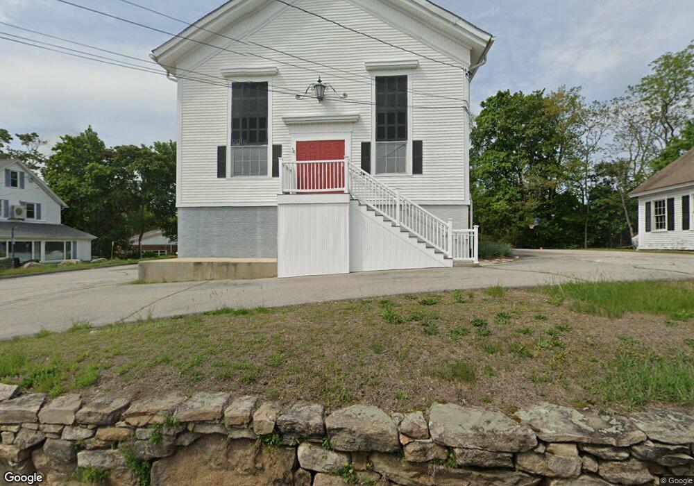
6 Hurlbutt Rd Ledyard, CT 06335
Gales Ferry NeighborhoodEstimated Value: $403,547
--
Bed
2
Baths
5,058
Sq Ft
$80/Sq Ft
Est. Value
About This Home
This home is located at 6 Hurlbutt Rd, Ledyard, CT 06335 and is currently estimated at $403,547, approximately $79 per square foot. 6 Hurlbutt Rd is a home located in New London County with nearby schools including Ledyard Middle School, Ledyard High School, and Academy Of St Therese.
Ownership History
Date
Name
Owned For
Owner Type
Purchase Details
Closed on
Jul 2, 2018
Sold by
Olde New England Resto
Bought by
Anglica Bichop Seabury
Current Estimated Value
Home Financials for this Owner
Home Financials are based on the most recent Mortgage that was taken out on this home.
Original Mortgage
$176,000
Outstanding Balance
$152,868
Interest Rate
4.6%
Mortgage Type
Purchase Money Mortgage
Estimated Equity
$240,567
Purchase Details
Closed on
Dec 3, 2010
Sold by
Sci Conn Fueral Svcs L
Bought by
Olde New England Resto
Purchase Details
Closed on
Sep 17, 1998
Sold by
Helmbooldt Mark G
Bought by
Sci Conn Funeral Svcs
Create a Home Valuation Report for This Property
The Home Valuation Report is an in-depth analysis detailing your home's value as well as a comparison with similar homes in the area
Home Values in the Area
Average Home Value in this Area
Purchase History
| Date | Buyer | Sale Price | Title Company |
|---|---|---|---|
| Anglica Bichop Seabury | $220,000 | -- | |
| Olde New England Resto | $77,500 | -- | |
| Sci Conn Funeral Svcs | $400,000 | -- |
Source: Public Records
Mortgage History
| Date | Status | Borrower | Loan Amount |
|---|---|---|---|
| Open | Anglica Bichop Seabury | $176,000 | |
| Previous Owner | Sci Conn Funeral Svcs | $200,000 |
Source: Public Records
Tax History Compared to Growth
Tax History
| Year | Tax Paid | Tax Assessment Tax Assessment Total Assessment is a certain percentage of the fair market value that is determined by local assessors to be the total taxable value of land and additions on the property. | Land | Improvement |
|---|---|---|---|---|
| 2025 | $0 | $340,270 | $60,690 | $279,580 |
| 2024 | $8,353 | $340,270 | $60,690 | $279,580 |
| 2023 | $8,353 | $340,270 | $60,690 | $279,580 |
| 2022 | $8,353 | $340,270 | $60,690 | $279,580 |
| 2021 | $8,353 | $340,270 | $60,690 | $279,580 |
| 2020 | $8,353 | $243,600 | $61,530 | $182,070 |
| 2019 | $8,353 | $243,600 | $61,530 | $182,070 |
| 2018 | $8,353 | $243,600 | $61,530 | $182,070 |
| 2017 | $7,927 | $243,600 | $61,530 | $182,070 |
| 2016 | $7,771 | $243,600 | $61,530 | $182,070 |
| 2015 | $7,405 | $243,600 | $61,530 | $182,070 |
| 2014 | $7,608 | $254,450 | $61,530 | $192,920 |
Source: Public Records
Map
Nearby Homes
- 10 Crestview Dr
- 9 West Dr
- 6 Sunset Rd
- 5 Ledgewood Dr
- 31 Richard Rd
- 18 Richard Rd
- 3 Parkwood Dr
- 14 Patricia Ct
- 13 Dock Rd
- 1535 Route 12
- 184 Kitemaug Rd
- 36 Depot Rd
- 197 Norwich-New London Turnpike
- 245 Norwich New London Turnpike Unit 22
- 21 Lincoln Dr
- 16 Marty's Way
- 123A Whalehead Rd
- 0 Clarks Falls Unit 24089817
- 421 Kitemaug Rd
- 205 Old Norwich Rd
- 8 Hurlbutt Rd
- 9 Military Hwy
- 1661 Route 12
- 12 Military Hwy
- 15 Military Hwy
- 2 Winthrop Rd
- 15 Hurlbutt Rd
- 20 Military Hwy
- 2 Military Hwy
- 6 Winthrop Rd
- 19 Military Hwy
- 1649 Connecticut 12
- 17 Hurlbutt Rd
- 8 Winthrop Rd
- 22 Military Hwy
- 23 Military Hwy
- 19 Hurlbutt Rd
- 10 Winthrop Rd
- 7 Chapman Ln
- 1649 Route 12 Unit 3