6 Island Rd Medway, MA 02053
Estimated Value: $743,000 - $799,000
3
Beds
3
Baths
2,158
Sq Ft
$356/Sq Ft
Est. Value
About This Home
This home is located at 6 Island Rd, Medway, MA 02053 and is currently estimated at $767,586, approximately $355 per square foot. 6 Island Rd is a home located in Norfolk County with nearby schools including John D. McGovern Elementary School, Burke-Memorial Elementary, and Medway Middle School.
Ownership History
Date
Name
Owned For
Owner Type
Purchase Details
Closed on
Aug 30, 2013
Sold by
Martin Paul S and Ralston Liza B
Bought by
Daly James J and Daly Jennifer D
Current Estimated Value
Home Financials for this Owner
Home Financials are based on the most recent Mortgage that was taken out on this home.
Original Mortgage
$364,500
Outstanding Balance
$271,174
Interest Rate
4.4%
Mortgage Type
New Conventional
Estimated Equity
$496,412
Create a Home Valuation Report for This Property
The Home Valuation Report is an in-depth analysis detailing your home's value as well as a comparison with similar homes in the area
Home Values in the Area
Average Home Value in this Area
Purchase History
| Date | Buyer | Sale Price | Title Company |
|---|---|---|---|
| Daly James J | $430,000 | -- | |
| Daly James J | $430,000 | -- |
Source: Public Records
Mortgage History
| Date | Status | Borrower | Loan Amount |
|---|---|---|---|
| Open | Daly James J | $364,500 | |
| Closed | Daly James J | $364,500 |
Source: Public Records
Tax History Compared to Growth
Tax History
| Year | Tax Paid | Tax Assessment Tax Assessment Total Assessment is a certain percentage of the fair market value that is determined by local assessors to be the total taxable value of land and additions on the property. | Land | Improvement |
|---|---|---|---|---|
| 2025 | $9,198 | $645,500 | $326,100 | $319,400 |
| 2024 | $9,295 | $645,500 | $326,100 | $319,400 |
| 2023 | $9,255 | $580,600 | $296,900 | $283,700 |
| 2022 | $8,245 | $487,000 | $219,500 | $267,500 |
| 2021 | $8,234 | $471,600 | $204,900 | $266,700 |
| 2020 | $8,078 | $461,600 | $204,900 | $256,700 |
| 2019 | $7,606 | $448,200 | $196,500 | $251,700 |
| 2018 | $7,663 | $433,900 | $188,200 | $245,700 |
| 2017 | $7,630 | $425,800 | $184,000 | $241,800 |
| 2016 | $7,445 | $411,100 | $169,300 | $241,800 |
| 2015 | $7,389 | $405,100 | $167,300 | $237,800 |
| 2014 | $7,282 | $386,500 | $167,300 | $219,200 |
Source: Public Records
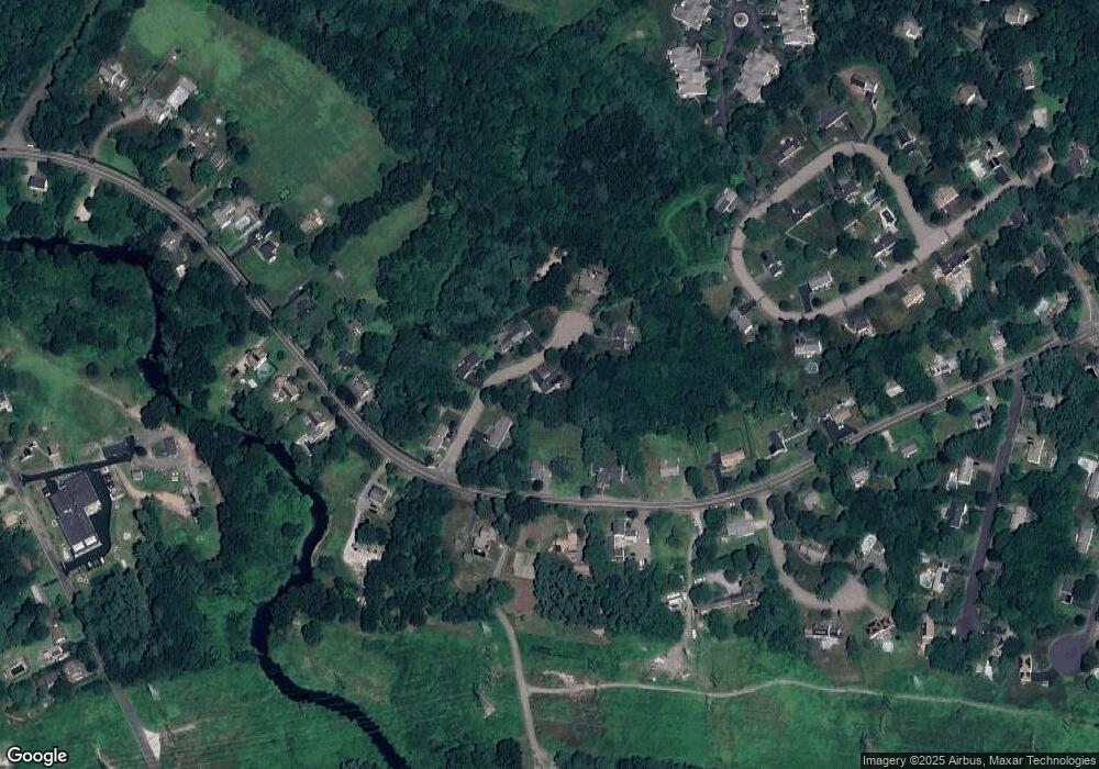
Map
Nearby Homes
- 17 Farm St
- 242 Farm St
- 425 Village St
- 229 Bent St
- 10 Macarthur Ave
- 9 Sanford St
- 20 Broad St Unit A
- 20 Broad St
- 14 Sanford St Unit 56
- 14 Sanford St Unit 15
- 48 River Rd
- 1 Granite Dr
- 841 Lincoln St
- 145 Acorn St
- 10 Populatic Street Extension
- 311 Eagles Nest Way Unit 311
- 312 Eagles Nest Way Unit 312
- 24 Vernon Rd
- 99 Leland Rd
- 10 Silver Fox Rd
- 5 Island Rd
- 4 Island Rd
- 32 Village St
- 8 Island Rd
- 3 Island Rd
- 28 Village St
- 26 Village St
- 7 Island Rd
- 34 Village St
- 29 Village St
- 33 Village St
- 27 Village St Unit 3
- 27 Village St Unit 5
- 27 Village St Unit 4
- 27 Village St Unit 1
- 27 Village St Unit 6
- 27 Village St
- 44 Village St
- 24 Village St
- 39 Village St