6 Jasons Way Kennebunkport, ME 04046
Estimated Value: $804,629 - $1,043,000
3
Beds
3
Baths
2,438
Sq Ft
$369/Sq Ft
Est. Value
About This Home
This home is located at 6 Jasons Way, Kennebunkport, ME 04046 and is currently estimated at $899,907, approximately $369 per square foot. 6 Jasons Way is a home located in York County with nearby schools including Kennebunk High School.
Ownership History
Date
Name
Owned For
Owner Type
Purchase Details
Closed on
Oct 14, 2010
Sold by
Heflin Victoria A and Bennett Daniel D
Bought by
Bartley Bruce J and Bartley Linda M
Current Estimated Value
Home Financials for this Owner
Home Financials are based on the most recent Mortgage that was taken out on this home.
Original Mortgage
$411,200
Outstanding Balance
$269,357
Interest Rate
4.36%
Mortgage Type
Purchase Money Mortgage
Estimated Equity
$630,550
Create a Home Valuation Report for This Property
The Home Valuation Report is an in-depth analysis detailing your home's value as well as a comparison with similar homes in the area
Home Values in the Area
Average Home Value in this Area
Purchase History
| Date | Buyer | Sale Price | Title Company |
|---|---|---|---|
| Bartley Bruce J | $514,000 | -- |
Source: Public Records
Mortgage History
| Date | Status | Borrower | Loan Amount |
|---|---|---|---|
| Open | Bartley Bruce J | $411,200 | |
| Previous Owner | Bartley Bruce J | $363,000 | |
| Previous Owner | Bartley Bruce J | $132,000 |
Source: Public Records
Tax History Compared to Growth
Tax History
| Year | Tax Paid | Tax Assessment Tax Assessment Total Assessment is a certain percentage of the fair market value that is determined by local assessors to be the total taxable value of land and additions on the property. | Land | Improvement |
|---|---|---|---|---|
| 2025 | $4,586 | $666,500 | $183,000 | $483,500 |
| 2024 | $4,332 | $666,500 | $183,000 | $483,500 |
| 2023 | $4,166 | $666,500 | $183,000 | $483,500 |
| 2022 | $3,986 | $664,300 | $183,000 | $481,300 |
| 2021 | $3,729 | $388,400 | $94,100 | $294,300 |
| 2020 | $3,670 | $388,400 | $94,100 | $294,300 |
| 2019 | $3,670 | $388,400 | $94,100 | $294,300 |
| 2018 | $3,402 | $388,400 | $94,100 | $294,300 |
| 2017 | $3,379 | $388,400 | $94,100 | $294,300 |
| 2016 | $3,216 | $388,400 | $94,100 | $294,300 |
| 2015 | $2,991 | $388,400 | $94,100 | $294,300 |
| 2014 | $2,938 | $385,100 | $94,100 | $291,000 |
Source: Public Records
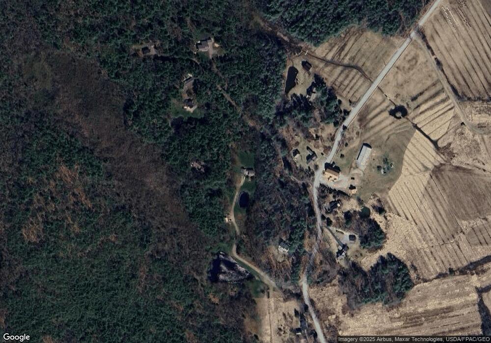
Map
Nearby Homes
- 245 Arundel Rd
- TBD Arundel Rd
- 12 Forest Dr
- 13 Forest Dr
- 2 Forest Dr
- 14 Forest Dr
- Lot 5 Forest Dr
- 9 Forest Dr
- 20 Stone Rd
- 11 Acorn Ave
- TBD Log Cabin
- 286 Goose Rocks Rd
- 0 Campbell Ln Unit 1630141
- Lot 11 Prospect Reserve Way
- 0 Oak Ridge Rd
- Lot 9 Prospect Reserve Way
- 00 Arundel Rd
- Lot 5 Prospect Reserve Way
- Lot 1 Prospect Reserve Way
- Lot 4 Prospect Reserve Way
- 8 Jasons Way
- 244 Arundel Rd
- 236 Arundel Rd
- 7 Jasons Way
- 26 Jasons Way
- 239 Arundel Rd
- 237 Arundel Rd
- 226 Arundel Rd
- 225 Arundel Rd
- 212 Arundel Rd
- 10 Long And Winding Rd
- 210 Arundel Rd
- 9999 Old Cluff Rd
- 71 Old Cluff Rd
- 263 Arundel Rd
- 27 the Long and Winding Rd
- 72 Old Cluff Rd
- 24 Old Cluff Rd
- 286 Arundel Rd
- 202 Arundel Rd