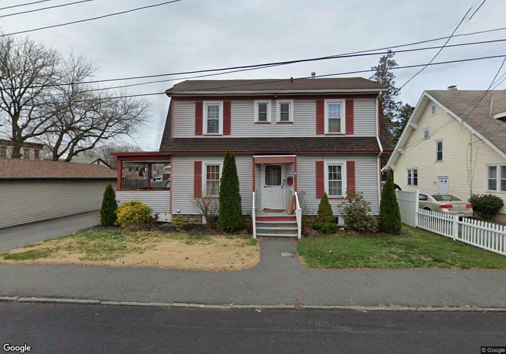
6 Kellogg Ave Port Jervis, NY 12771
Estimated Value: $263,419 - $380,000
4
Beds
1
Bath
1,536
Sq Ft
$216/Sq Ft
Est. Value
About This Home
This home is located at 6 Kellogg Ave, Port Jervis, NY 12771 and is currently estimated at $332,105, approximately $216 per square foot. 6 Kellogg Ave is a home located in Orange County with nearby schools including Port Jervis High School and New Life Christian Day School.
Ownership History
Date
Name
Owned For
Owner Type
Purchase Details
Closed on
Jun 30, 2025
Sold by
Thompson David R and Thompson Domenique M
Bought by
Mezzina Marc C
Current Estimated Value
Home Financials for this Owner
Home Financials are based on the most recent Mortgage that was taken out on this home.
Original Mortgage
$354,938
Outstanding Balance
$354,342
Interest Rate
6.89%
Mortgage Type
VA
Estimated Equity
-$22,237
Purchase Details
Closed on
Nov 10, 2020
Sold by
Thompson David R
Bought by
Thompson David R and Thompson Domenique M
Home Financials for this Owner
Home Financials are based on the most recent Mortgage that was taken out on this home.
Original Mortgage
$144,000
Interest Rate
2.8%
Mortgage Type
Stand Alone Refi Refinance Of Original Loan
Purchase Details
Closed on
Sep 15, 2015
Sold by
Thompson Robert
Bought by
Thompson David
Create a Home Valuation Report for This Property
The Home Valuation Report is an in-depth analysis detailing your home's value as well as a comparison with similar homes in the area
Home Values in the Area
Average Home Value in this Area
Purchase History
| Date | Buyer | Sale Price | Title Company |
|---|---|---|---|
| Mezzina Marc C | $343,600 | First American Title | |
| Thompson David R | -- | None Available | |
| Thompson David R | -- | None Available | |
| Thompson David R | -- | None Available | |
| Thompson David | $111,000 | Thomas Clarke | |
| Thompson David | $111,000 | Thomas Clarke |
Source: Public Records
Mortgage History
| Date | Status | Borrower | Loan Amount |
|---|---|---|---|
| Open | Mezzina Marc C | $354,938 | |
| Previous Owner | Thompson David R | $144,000 |
Source: Public Records
Tax History Compared to Growth
Tax History
| Year | Tax Paid | Tax Assessment Tax Assessment Total Assessment is a certain percentage of the fair market value that is determined by local assessors to be the total taxable value of land and additions on the property. | Land | Improvement |
|---|---|---|---|---|
| 2024 | $3,464 | $48,250 | $5,250 | $43,000 |
| 2023 | $3,464 | $48,250 | $5,250 | $43,000 |
| 2022 | $4,426 | $48,250 | $5,250 | $43,000 |
| 2021 | $3,832 | $48,250 | $5,250 | $43,000 |
| 2020 | $3,929 | $48,250 | $5,250 | $43,000 |
| 2019 | $479 | $48,250 | $5,250 | $43,000 |
| 2018 | $4,824 | $48,250 | $5,250 | $43,000 |
| 2017 | $3,796 | $48,250 | $5,250 | $43,000 |
| 2016 | $3,871 | $48,250 | $5,250 | $43,000 |
| 2015 | -- | $48,250 | $5,250 | $43,000 |
| 2014 | -- | $48,250 | $5,250 | $43,000 |
Source: Public Records
Map
Nearby Homes
- 701 United States Route 209
- 14 Division St
- 105 Fowler St
- 20 Kingston Ave
- 25 Bruce St
- 4 Catherine St
- 39 Church St Unit 4
- 39 Church St Unit 53
- 39 Church St Unit 3
- 19 Barcelow St
- 4 Elizabeth St
- 17 Brooklyn St
- 33 Seward Ave
- 42 Sussex St
- 115 Hammond St
- 178-180 Ball St
- 18 Hornbeck Ave
- 92 Front St
- 3 Delaware St
- 141 Hammond St