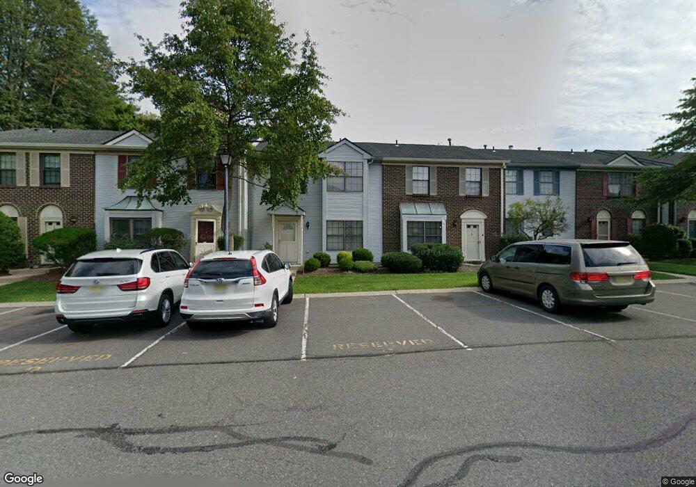
6 Kirby Ln Franklin Park, NJ 08823
Estimated Value: $408,461 - $437,000
--
Bed
--
Bath
1,480
Sq Ft
$287/Sq Ft
Est. Value
About This Home
This home is located at 6 Kirby Ln, Franklin Park, NJ 08823 and is currently estimated at $424,115, approximately $286 per square foot. 6 Kirby Ln is a home located in Somerset County with nearby schools including Franklin High School, St. Augustine of Canterbury School, and Cheder Menachem.
Ownership History
Date
Name
Owned For
Owner Type
Purchase Details
Closed on
Jun 17, 2015
Sold by
Mathir Leaku Dalniel
Bought by
Luake Sinale Daliniel Mathis
Current Estimated Value
Purchase Details
Closed on
Oct 12, 2000
Sold by
Sauls Sean
Bought by
Leake Valerie
Home Financials for this Owner
Home Financials are based on the most recent Mortgage that was taken out on this home.
Original Mortgage
$139,774
Outstanding Balance
$50,646
Interest Rate
7.83%
Mortgage Type
FHA
Estimated Equity
$373,469
Purchase Details
Closed on
May 20, 1993
Sold by
Porecca Mariane
Bought by
Sauls Sean M
Create a Home Valuation Report for This Property
The Home Valuation Report is an in-depth analysis detailing your home's value as well as a comparison with similar homes in the area
Home Values in the Area
Average Home Value in this Area
Purchase History
| Date | Buyer | Sale Price | Title Company |
|---|---|---|---|
| Luake Sinale Daliniel Mathis | -- | Attorney | |
| Leake Valerie | $144,097 | -- | |
| Sauls Sean M | $110,000 | -- |
Source: Public Records
Mortgage History
| Date | Status | Borrower | Loan Amount |
|---|---|---|---|
| Open | Leake Valerie | $139,774 |
Source: Public Records
Tax History Compared to Growth
Tax History
| Year | Tax Paid | Tax Assessment Tax Assessment Total Assessment is a certain percentage of the fair market value that is determined by local assessors to be the total taxable value of land and additions on the property. | Land | Improvement |
|---|---|---|---|---|
| 2025 | $5,705 | $368,100 | $160,000 | $208,100 |
| 2024 | $5,705 | $316,400 | $160,000 | $156,400 |
| 2023 | $5,505 | $286,400 | $130,000 | $156,400 |
| 2022 | $4,997 | $246,400 | $90,000 | $156,400 |
| 2021 | $4,737 | $236,400 | $80,000 | $156,400 |
| 2020 | $5,114 | $226,400 | $70,000 | $156,400 |
| 2019 | $4,949 | $216,400 | $60,000 | $156,400 |
| 2018 | $5,050 | $218,600 | $50,000 | $168,600 |
| 2017 | $4,721 | $203,600 | $35,000 | $168,600 |
| 2016 | $4,645 | $198,600 | $30,000 | $168,600 |
| 2015 | $4,613 | $198,600 | $30,000 | $168,600 |
| 2014 | $4,544 | $198,600 | $30,000 | $168,600 |
Source: Public Records
Map
Nearby Homes
- 1 Lyon La
- 1 Lyon Ln
- 44 Crabapple Ln
- 69 Fisher Dr
- 65 Townsend Ct Unit 213
- 65 Townsend Ct
- 107 Rachel Ct
- 139 Rachel Ct Unit D1
- 147 Rachel Ct
- 205 Rachel Ct
- 75 Pear Tree Ln Unit 10C
- 167 Rachel Ct
- 130 Lindsey Ct
- 9 Beekman Rd
- 124 Edward Dr
- 3241 Route 27
- 8 Amethyst Way
- 21 Gregory Ln Unit F1
- 13 Roberts St
- 22 Arthur Glick Blvd Unit 2506