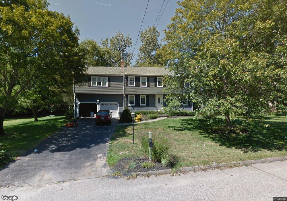
6 Lewis Dr Medway, MA 02053
Estimated Value: $782,000 - $904,000
5
Beds
3
Baths
3,050
Sq Ft
$276/Sq Ft
Est. Value
About This Home
This home is located at 6 Lewis Dr, Medway, MA 02053 and is currently estimated at $843,106, approximately $276 per square foot. 6 Lewis Dr is a home located in Norfolk County with nearby schools including John D. McGovern Elementary School, Burke-Memorial Elementary, and Medway Middle School.
Ownership History
Date
Name
Owned For
Owner Type
Purchase Details
Closed on
Mar 19, 2001
Sold by
Cahill Kevin B and Cahill Kathleen K
Bought by
Bittig Mark D and Bittig Gail E
Current Estimated Value
Home Financials for this Owner
Home Financials are based on the most recent Mortgage that was taken out on this home.
Original Mortgage
$210,000
Outstanding Balance
$76,410
Interest Rate
7.01%
Mortgage Type
Purchase Money Mortgage
Estimated Equity
$766,696
Create a Home Valuation Report for This Property
The Home Valuation Report is an in-depth analysis detailing your home's value as well as a comparison with similar homes in the area
Home Values in the Area
Average Home Value in this Area
Purchase History
| Date | Buyer | Sale Price | Title Company |
|---|---|---|---|
| Bittig Mark D | $376,900 | -- |
Source: Public Records
Mortgage History
| Date | Status | Borrower | Loan Amount |
|---|---|---|---|
| Open | Bittig Mark D | $210,000 | |
| Previous Owner | Bittig Mark D | $33,000 | |
| Previous Owner | Bittig Mark D | $114,000 |
Source: Public Records
Tax History Compared to Growth
Tax History
| Year | Tax Paid | Tax Assessment Tax Assessment Total Assessment is a certain percentage of the fair market value that is determined by local assessors to be the total taxable value of land and additions on the property. | Land | Improvement |
|---|---|---|---|---|
| 2025 | $9,716 | $681,800 | $323,400 | $358,400 |
| 2024 | $9,818 | $681,800 | $323,400 | $358,400 |
| 2023 | $9,706 | $608,900 | $294,300 | $314,600 |
| 2022 | $8,722 | $515,200 | $217,600 | $297,600 |
| 2021 | $8,697 | $498,100 | $203,100 | $295,000 |
| 2020 | $8,524 | $487,100 | $203,100 | $284,000 |
| 2019 | $8,049 | $474,300 | $194,800 | $279,500 |
| 2018 | $8,115 | $459,500 | $186,600 | $272,900 |
| 2017 | $7,863 | $438,800 | $182,400 | $256,400 |
| 2016 | $7,684 | $424,300 | $167,900 | $256,400 |
| 2015 | $7,624 | $418,000 | $165,800 | $252,200 |
| 2014 | $7,393 | $392,400 | $165,800 | $226,600 |
Source: Public Records
Map
Nearby Homes
- 425 Village St
- 17 Farm St
- 242 Farm St
- 10 Macarthur Ave
- 1 Granite Dr
- 145 Acorn St
- 229 Bent St
- 28 Myrtle St
- 10 Populatic Street Extension
- 9 Sanford St
- 20 Broad St Unit A
- 20 Broad St
- 14 Sanford St Unit 15
- 14 Sanford St Unit 56
- 99 Leland Rd
- 311 Eagles Nest Way Unit 311
- 312 Eagles Nest Way Unit 312
- 98 Myrtle St
- 12 Ariana Ln
- 24 Vernon Rd