6 Locust Ln Lansing, MI 48911
Lansing-Eaton NeighborhoodEstimated Value: $351,000 - $584,000
2
Beds
4
Baths
2,627
Sq Ft
$175/Sq Ft
Est. Value
About This Home
This home is located at 6 Locust Ln, Lansing, MI 48911 and is currently estimated at $460,805, approximately $175 per square foot. 6 Locust Ln is a home located in Eaton County with nearby schools including Averill Elementary School, Attwood School, and J.W. Sexton High School.
Ownership History
Date
Name
Owned For
Owner Type
Purchase Details
Closed on
Jun 6, 2024
Sold by
Bower Bruce E and Altese Christine M
Bought by
Bower-Altese Trust and Bower
Current Estimated Value
Purchase Details
Closed on
Aug 31, 2006
Sold by
Bower Bruce E
Bought by
Bower Bruce E and Altese Christine M
Home Financials for this Owner
Home Financials are based on the most recent Mortgage that was taken out on this home.
Original Mortgage
$210,000
Interest Rate
6.7%
Mortgage Type
New Conventional
Purchase Details
Closed on
Aug 21, 2006
Sold by
Quinn Alexis and Quinn Maderia Alexis
Bought by
Bower Bruce E
Home Financials for this Owner
Home Financials are based on the most recent Mortgage that was taken out on this home.
Original Mortgage
$210,000
Interest Rate
6.7%
Mortgage Type
New Conventional
Create a Home Valuation Report for This Property
The Home Valuation Report is an in-depth analysis detailing your home's value as well as a comparison with similar homes in the area
Home Values in the Area
Average Home Value in this Area
Purchase History
| Date | Buyer | Sale Price | Title Company |
|---|---|---|---|
| Bower-Altese Trust | -- | None Listed On Document | |
| Bower Bruce E | -- | Lasalle Ins Svcs Title Div | |
| Bower Bruce E | -- | None Available |
Source: Public Records
Mortgage History
| Date | Status | Borrower | Loan Amount |
|---|---|---|---|
| Previous Owner | Bower Bruce E | $210,000 |
Source: Public Records
Tax History Compared to Growth
Tax History
| Year | Tax Paid | Tax Assessment Tax Assessment Total Assessment is a certain percentage of the fair market value that is determined by local assessors to be the total taxable value of land and additions on the property. | Land | Improvement |
|---|---|---|---|---|
| 2025 | $6,753 | $205,200 | $0 | $0 |
| 2024 | $3,940 | $196,200 | $0 | $0 |
| 2023 | $3,752 | $175,300 | $0 | $0 |
| 2022 | $5,832 | $164,600 | $0 | $0 |
| 2021 | $5,572 | $161,000 | $0 | $0 |
| 2020 | $5,539 | $150,000 | $0 | $0 |
| 2019 | $5,410 | $144,671 | $0 | $0 |
| 2018 | $4,867 | $139,000 | $0 | $0 |
| 2017 | $4,777 | $138,700 | $0 | $0 |
| 2016 | -- | $135,800 | $0 | $0 |
| 2015 | -- | $132,800 | $0 | $0 |
| 2014 | -- | $135,500 | $0 | $0 |
| 2013 | -- | $138,700 | $0 | $0 |
Source: Public Records
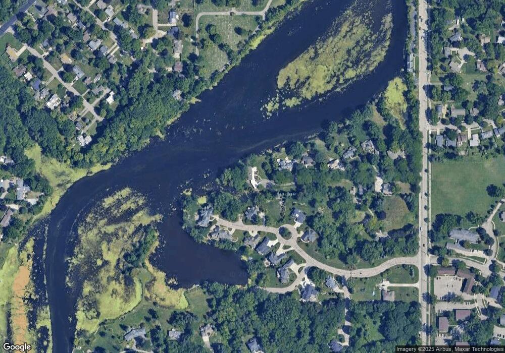
Map
Nearby Homes
- 2 Locust Ln
- 4.5 Locust Ln
- 2800 S Waverly Hwy
- 3811 Cooley Dr
- 3600 Sandhurst Dr
- 3614 Cooley Dr
- 3510 Christine Dr
- 2838 Sunderland Rd
- 3425 Cooley Dr
- 3421 Troon Cir Unit 29
- 3416 Cooley Dr
- 3601 Muirfield Dr
- 3508 Muirfield Dr
- 3700 W Holmes Rd
- 3214 Gingersnap Ln
- 3200 Lawdor Rd
- 3333 Moores River Dr Unit 812
- 3310 W Mount Hope Ave
- 2710 Bedford Rd
- 2905 S Catherine St
- 4140 Harbour Cove
- 9 Harbour Cove
- 15 Harbour Cove
- 0 Harbour Cove
- 0 Harbour Cove Unit 630000224492
- 0 Harbour Cove Unit 630000219422
- 0 Harbour Cove Unit 630000280181
- 0 Harbour Cove Unit 280181
- 0 Harbour Cove Unit L82481
- 0 Harbour Cove Unit L219422
- 0 Harbour Cove Unit L219421
- 0 Harbour Cove Unit L219423
- 0 Harbour Cove Unit L224492
- 0 Harbour Cove Unit L226086
- 0 Harbour Cove Unit 222070
- 4211 Harbour Cove
- 4225 Harbour Cove
- 4219 Harbour Cove
- 4125 Harbour Cove
- 4125 Harbour Cove Unit 15