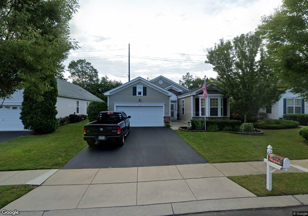
6 Lostock Ct Galloway, NJ 08205
Estimated Value: $453,631 - $513,000
3
Beds
2
Baths
2,109
Sq Ft
$230/Sq Ft
Est. Value
About This Home
This home is located at 6 Lostock Ct, Galloway, NJ 08205 and is currently estimated at $485,658, approximately $230 per square foot. 6 Lostock Ct is a home located in Atlantic County with nearby schools including Absegami High School, Cedar Creek High School, and Oakcrest High School.
Ownership History
Date
Name
Owned For
Owner Type
Purchase Details
Closed on
Jun 2, 2017
Sold by
Baldasarre Contant and Baldasarre Barbara
Bought by
Hock Mark and Hock Sandra
Current Estimated Value
Create a Home Valuation Report for This Property
The Home Valuation Report is an in-depth analysis detailing your home's value as well as a comparison with similar homes in the area
Home Values in the Area
Average Home Value in this Area
Purchase History
| Date | Buyer | Sale Price | Title Company |
|---|---|---|---|
| Hock Mark | $239,900 | Surety Title Co |
Source: Public Records
Tax History
| Year | Tax Paid | Tax Assessment Tax Assessment Total Assessment is a certain percentage of the fair market value that is determined by local assessors to be the total taxable value of land and additions on the property. | Land | Improvement |
|---|---|---|---|---|
| 2025 | $8,465 | $253,600 | $58,900 | $194,700 |
| 2024 | $8,465 | $253,600 | $58,900 | $194,700 |
| 2023 | $8,143 | $253,600 | $58,900 | $194,700 |
| 2022 | $8,143 | $253,600 | $58,900 | $194,700 |
| 2021 | $7,981 | $253,600 | $58,900 | $194,700 |
| 2020 | $7,854 | $253,600 | $58,900 | $194,700 |
| 2019 | $7,709 | $253,600 | $58,900 | $194,700 |
| 2018 | $7,818 | $253,600 | $58,900 | $194,700 |
| 2017 | $7,818 | $253,600 | $58,900 | $194,700 |
| 2016 | $7,750 | $253,600 | $58,900 | $194,700 |
| 2015 | $7,715 | $253,600 | $58,900 | $194,700 |
| 2014 | $7,458 | $253,600 | $58,900 | $194,700 |
Source: Public Records
Map
Nearby Homes
- 181 Rumson Dr Unit 1084
- 8 Highbury Ct
- 130 Iroquois Dr Unit E1
- 11 Mohave Dr Unit 11
- 26 Iroquois Dr Unit 20
- 166 Blackburn St
- 35 Mohave Dr
- 35 Mohave Dr Unit 1216
- 96 Iroquois Dr Unit 96
- 9 Wicklow Terrace
- 82 Iroquois Dr
- 31 Cherokee Dr Unit 501
- 36 Apache Ct Unit B3
- 36 Apache Ct Unit 36
- 27 Apache Ct Unit H3
- 39 Apache Ct Unit F3
- 181 Everton Place
- 2 Navajo Ct Unit A2
- 2 Navajo Ct Unit 1511
- 16 Holly Creek Rd
- 5 Highbury Ct
- 5 Highbury Ct
- 3 Highbury Ct
- 10 Lostock Ct
- 34 S Wrangleboro Rd
- 43 Brampton St
- 41 Brampton St
- 39 Brampton St
- 31 Brampton St
- 23 Brampton St
- 19 Brampton St
- 34 S Wrangleboro Rd
- 48 Brampton St
- 33 Brampton St
- 29 Brampton St
- 21 Brampton St
- 25 Brampton St
- 44 Brampton St
- 52 Brampton St
- 37 Brampton St
Your Personal Tour Guide
Ask me questions while you tour the home.