Estimated Value: $1,426,441 - $1,573,000
4
Beds
4
Baths
4,406
Sq Ft
$344/Sq Ft
Est. Value
About This Home
This home is located at 6 Macgregor Way, Acton, MA 01720 and is currently estimated at $1,514,110, approximately $343 per square foot. 6 Macgregor Way is a home located in Middlesex County with nearby schools including Acton-Boxborough Regional High School, Maynard Knowledge Beginnings, and The Imago School.
Ownership History
Date
Name
Owned For
Owner Type
Purchase Details
Closed on
Aug 11, 2020
Sold by
Werowinski Carl and Pendleton Sally
Bought by
Carl Werowinski Ret
Current Estimated Value
Purchase Details
Closed on
Jul 28, 2011
Sold by
Shenson Gayle L
Bought by
Pendleton Sally and Werowinski Carl
Purchase Details
Closed on
Apr 8, 2005
Sold by
Shenson Charles E and Shenson Gayle L
Bought by
Shenson Gayle L
Purchase Details
Closed on
Sep 14, 1995
Sold by
Distinctive Acton Home
Bought by
Shenson Charles E and Shenson Gayle L
Home Financials for this Owner
Home Financials are based on the most recent Mortgage that was taken out on this home.
Original Mortgage
$350,000
Interest Rate
7.81%
Mortgage Type
Purchase Money Mortgage
Create a Home Valuation Report for This Property
The Home Valuation Report is an in-depth analysis detailing your home's value as well as a comparison with similar homes in the area
Home Values in the Area
Average Home Value in this Area
Purchase History
| Date | Buyer | Sale Price | Title Company |
|---|---|---|---|
| Carl Werowinski Ret | -- | None Available | |
| Pendleton Sally | $842,000 | -- | |
| Shenson Gayle L | -- | -- | |
| Shenson Charles E | $454,900 | -- |
Source: Public Records
Mortgage History
| Date | Status | Borrower | Loan Amount |
|---|---|---|---|
| Previous Owner | Shenson Charles E | $136,000 | |
| Previous Owner | Shenson Charles E | $50,000 | |
| Previous Owner | Shenson Charles E | $350,000 |
Source: Public Records
Tax History
| Year | Tax Paid | Tax Assessment Tax Assessment Total Assessment is a certain percentage of the fair market value that is determined by local assessors to be the total taxable value of land and additions on the property. | Land | Improvement |
|---|---|---|---|---|
| 2025 | $22,628 | $1,319,400 | $408,800 | $910,600 |
| 2024 | $21,033 | $1,261,700 | $408,800 | $852,900 |
| 2023 | $20,570 | $1,171,400 | $371,700 | $799,700 |
| 2022 | $20,146 | $1,035,800 | $326,100 | $709,700 |
| 2021 | $19,732 | $975,400 | $302,900 | $672,500 |
| 2020 | $18,588 | $966,100 | $302,900 | $663,200 |
| 2019 | $17,956 | $927,000 | $302,900 | $624,100 |
| 2018 | $17,870 | $922,100 | $302,900 | $619,200 |
| 2017 | $17,385 | $912,100 | $302,900 | $609,200 |
| 2016 | $16,965 | $882,200 | $302,900 | $579,300 |
| 2015 | $16,615 | $872,200 | $302,900 | $569,300 |
| 2014 | $16,249 | $835,400 | $302,900 | $532,500 |
Source: Public Records
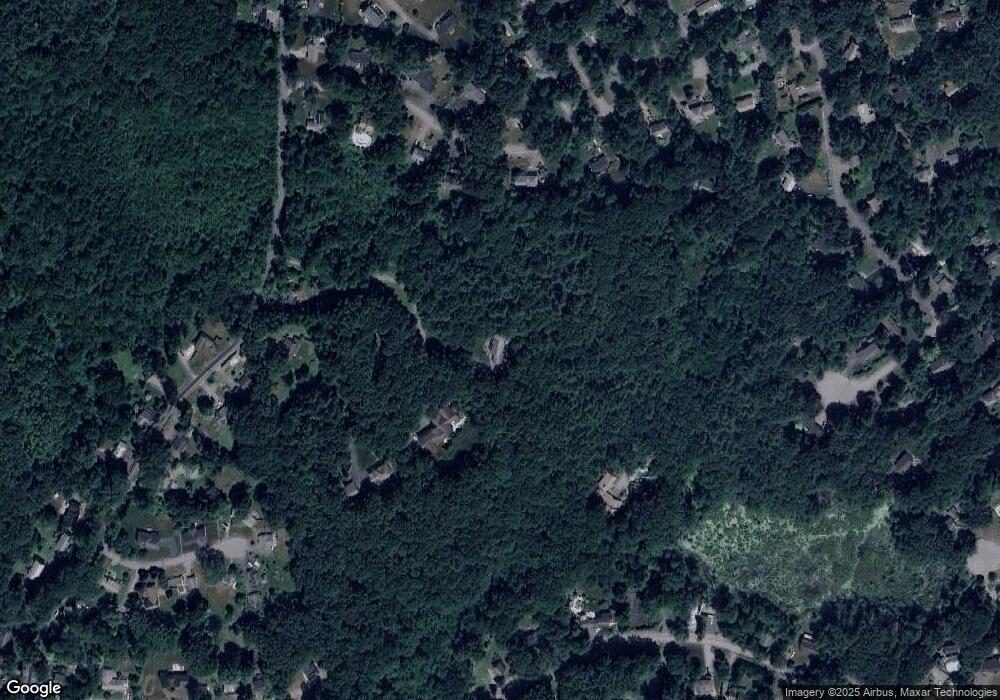
Map
Nearby Homes
- 7 Hillcrest Dr
- 70 River St
- 1 Vanderbelt Rd
- 30 Brewster Ln
- 40 High St
- 25 Nylander Way
- 7 Kelley Rd
- 129 Main St Unit 129
- 131 Main St
- 184 Main St Unit 3
- 246 Main St Unit 2
- 128 Parker St Unit 3B
- 27 Forest Rd
- 46 Taylor Rd
- 31 Drummer Rd Unit 31
- 1 Drummer Rd Unit A5
- 59 Lexington Dr
- 18 Hayward Rd
- 303 School St
- 11 Braebrook
Your Personal Tour Guide
Ask me questions while you tour the home.