6 Magnolia Path Unit 88 Basking Ridge, NJ 07920
Estimated Value: $641,804 - $689,000
2
Beds
3
Baths
1,659
Sq Ft
$399/Sq Ft
Est. Value
About This Home
This home is located at 6 Magnolia Path Unit 88, Basking Ridge, NJ 07920 and is currently estimated at $661,951, approximately $399 per square foot. 6 Magnolia Path Unit 88 is a home located in Somerset County with nearby schools including Liberty Corner Elementary School, William Annin Middle School, and Ridge High School.
Ownership History
Date
Name
Owned For
Owner Type
Purchase Details
Closed on
Jul 8, 2011
Sold by
Cho Dong Ik and Cho Jong Wan
Bought by
Chan Irene
Current Estimated Value
Home Financials for this Owner
Home Financials are based on the most recent Mortgage that was taken out on this home.
Original Mortgage
$150,000
Outstanding Balance
$10,737
Interest Rate
3.77%
Mortgage Type
New Conventional
Estimated Equity
$651,214
Purchase Details
Closed on
Jul 16, 1996
Sold by
Rappaport Jean
Bought by
Cho Dong and Cho Jong
Home Financials for this Owner
Home Financials are based on the most recent Mortgage that was taken out on this home.
Original Mortgage
$132,000
Interest Rate
8.28%
Create a Home Valuation Report for This Property
The Home Valuation Report is an in-depth analysis detailing your home's value as well as a comparison with similar homes in the area
Home Values in the Area
Average Home Value in this Area
Purchase History
| Date | Buyer | Sale Price | Title Company |
|---|---|---|---|
| Chan Irene | $410,000 | Multiple | |
| Cho Dong | $220,000 | -- |
Source: Public Records
Mortgage History
| Date | Status | Borrower | Loan Amount |
|---|---|---|---|
| Open | Chan Irene | $150,000 | |
| Previous Owner | Cho Dong | $132,000 |
Source: Public Records
Tax History Compared to Growth
Tax History
| Year | Tax Paid | Tax Assessment Tax Assessment Total Assessment is a certain percentage of the fair market value that is determined by local assessors to be the total taxable value of land and additions on the property. | Land | Improvement |
|---|---|---|---|---|
| 2025 | $9,980 | $585,200 | $175,000 | $410,200 |
| 2024 | $9,980 | $561,000 | $175,000 | $386,000 |
| 2023 | $10,020 | $531,300 | $175,000 | $356,300 |
| 2022 | $10,200 | $507,200 | $175,000 | $332,200 |
| 2021 | $9,107 | $431,600 | $175,000 | $256,600 |
| 2020 | $8,994 | $429,500 | $175,000 | $254,500 |
| 2019 | $8,449 | $415,400 | $175,000 | $240,400 |
| 2018 | $8,433 | $420,600 | $175,000 | $245,600 |
| 2017 | $8,473 | $426,000 | $180,000 | $246,000 |
| 2016 | $8,368 | $428,900 | $180,000 | $248,900 |
| 2015 | $8,080 | $421,700 | $170,000 | $251,700 |
| 2014 | $7,881 | $407,500 | $170,000 | $237,500 |
Source: Public Records
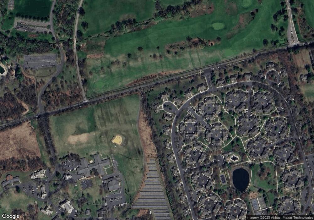
Map
Nearby Homes
- 7 Chestnut Ct
- 227 Arrowood Way
- 2305 Privet Way
- 67 Woodward Ln
- 23 Hampton Ct
- 279 English Place
- 138 Alexandria Way Condo Unit 138
- 22 Woodward Ln
- 267 English Place
- 242 Alexandria Way
- 14 Woodward Ln
- 49 Alexandria Way Unit 5
- 1 Potomac Dr Condo
- 71 Alexandria Way Unit 3
- 55 Potomac Dr
- 44 Manor Dr
- 21 Alexandria Way
- 103 Potomac Dr
- 10 Baldwin Ave
- 176 Potomac Dr
- 8 Magnolia Path
- 4 Magnolia Path
- 7 Magnolia Path
- 2 Magnolia Path
- 5 Magnolia Path
- 23 Arbor Cir Unit 85
- 3 Magnolia Path
- 1 Magnolia Path
- 25 Arbor Cir
- 253 Crabtree Ct
- 252 Crabtree Ct
- 254 Crabtree Ct
- 251 Crabtree Ct
- 255 Crabtree Ct
- 7 Arbor Cir
- 250 Crabtree Ct Unit 17250
- 27 Arbor Cir
- 256 Crabtree Ct
- 5 Arbor Cir
- 257 Crabtree Ct