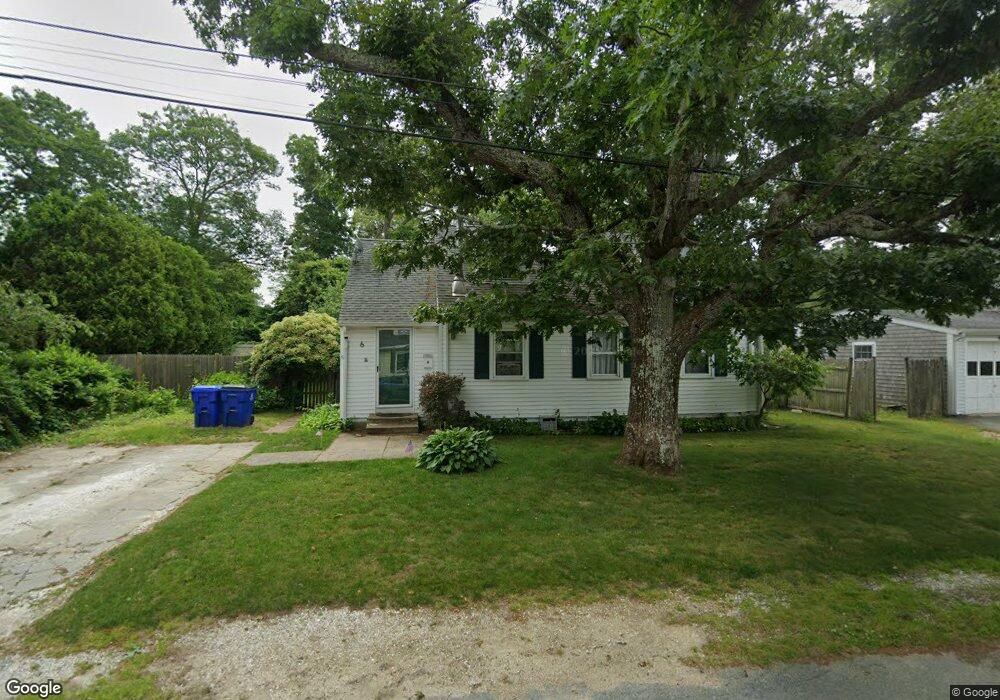
6 Maple St Bourne, MA 02532
Buzzards Bay NeighborhoodEstimated Value: $501,000
4
Beds
2
Baths
1,272
Sq Ft
$394/Sq Ft
Est. Value
About This Home
This home is located at 6 Maple St, Bourne, MA 02532 and is currently priced at $501,000, approximately $393 per square foot. 6 Maple St is a home located in Barnstable County with nearby schools including Bourne High School and St Margaret Regional School.
Ownership History
Date
Name
Owned For
Owner Type
Purchase Details
Closed on
Dec 17, 2013
Sold by
Amaral Kimberly A
Bought by
Corner Christopher M
Current Estimated Value
Home Financials for this Owner
Home Financials are based on the most recent Mortgage that was taken out on this home.
Original Mortgage
$244,897
Outstanding Balance
$182,537
Interest Rate
4.14%
Mortgage Type
New Conventional
Purchase Details
Closed on
Sep 23, 2002
Sold by
Us Bank Natl Assoc
Bought by
Amaral Kimberly A
Home Financials for this Owner
Home Financials are based on the most recent Mortgage that was taken out on this home.
Original Mortgage
$103,785
Interest Rate
6.36%
Mortgage Type
Purchase Money Mortgage
Purchase Details
Closed on
Aug 16, 2001
Sold by
Wiesmann James A and Wiesmann Jeannine A
Bought by
Us Bank
Purchase Details
Closed on
Jun 28, 1991
Sold by
Weisman Vincent K and Weisman Alice C
Bought by
Weismann James
Purchase Details
Closed on
Apr 9, 1990
Sold by
Weisman Vincent K
Bought by
Weisman James
Purchase Details
Closed on
Jul 29, 1987
Sold by
Quintal Robert E
Bought by
Weismann James A
Create a Home Valuation Report for This Property
The Home Valuation Report is an in-depth analysis detailing your home's value as well as a comparison with similar homes in the area
Home Values in the Area
Average Home Value in this Area
Purchase History
| Date | Buyer | Sale Price | Title Company |
|---|---|---|---|
| Corner Christopher M | $240,000 | -- | |
| Amaral Kimberly A | $110,000 | -- | |
| Us Bank | $132,500 | -- | |
| Weismann James | $130,500 | -- | |
| Weismann James | $130,500 | -- | |
| Weisman James | $30,500 | -- | |
| Weisman James | $30,500 | -- | |
| Weismann James A | $43,000 | -- |
Source: Public Records
Mortgage History
| Date | Status | Borrower | Loan Amount |
|---|---|---|---|
| Open | Corner Christopher M | $244,897 | |
| Closed | Weismann James A | $244,897 | |
| Previous Owner | Amaral Kimberly A | $103,785 | |
| Previous Owner | Weismann James A | $27,675 |
Source: Public Records
Tax History
| Year | Tax Paid | Tax Assessment Tax Assessment Total Assessment is a certain percentage of the fair market value that is determined by local assessors to be the total taxable value of land and additions on the property. | Land | Improvement |
|---|---|---|---|---|
| 2025 | $3,288 | $421,000 | $0 | $0 |
| 2024 | $3,222 | $401,700 | $165,500 | $236,200 |
| 2023 | $3,133 | $355,600 | $146,500 | $209,100 |
| 2022 | $2,721 | $269,700 | $129,600 | $140,100 |
| 2021 | $2,644 | $245,500 | $118,000 | $127,500 |
| 2020 | $2,499 | $232,700 | $116,900 | $115,800 |
| 2019 | $2,377 | $226,200 | $116,900 | $109,300 |
| 2018 | $2,211 | $209,800 | $105,700 | $104,100 |
| 2017 | $2,113 | $205,100 | $104,700 | $100,400 |
| 2016 | $1,950 | $191,900 | $93,700 | $98,200 |
| 2015 | $1,932 | $191,900 | $93,700 | $98,200 |
Source: Public Records
Map
Nearby Homes
- 23 Alderberry Rd
- 48 Maple St
- 58 Maple St
- 46 Holt Rd Unit B
- 46 Holt Rd
- 304 Main St
- 40-A Lafayette Ave
- 38 Old Bridge Rd
- 6 Honora Ct
- 3 Honora Ln Unit 3
- 4 Van Bummel Rd
- 60 Sandwich Rd
- 9 Hideaway Rd Unit F
- 810 Head of The Bay Rd
- 13 Hideaway Village Unit G
- 60 Bourne Neck Dr
- 44 Cotuit Rd
- 10 Sandy Ln
- 5 Zoli Ln
- 92 Choctaw Dr
Your Personal Tour Guide
Ask me questions while you tour the home.