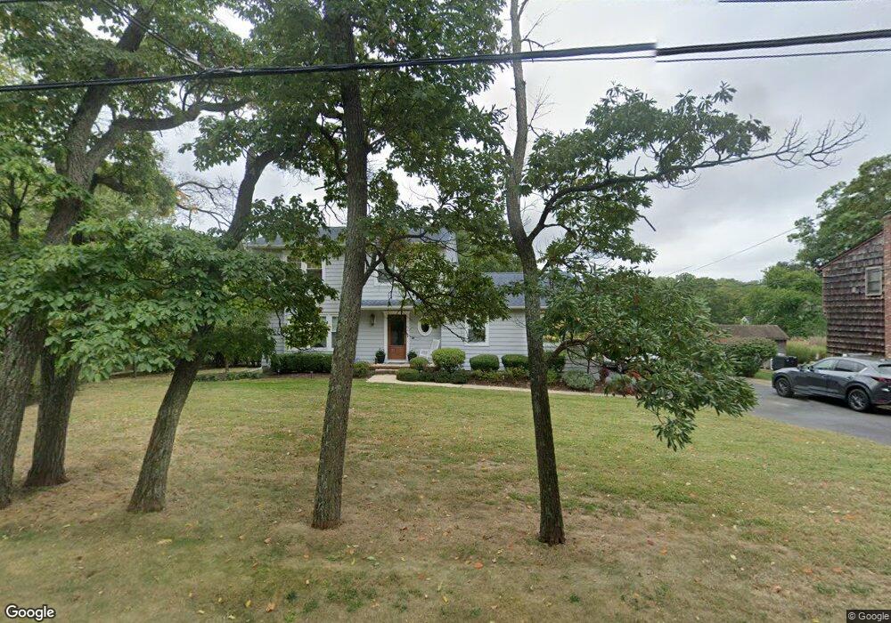
6 Maxson Ave Rumson, NJ 07760
Estimated Value: $855,000 - $1,277,000
3
Beds
3
Baths
1,987
Sq Ft
$525/Sq Ft
Est. Value
About This Home
This home is located at 6 Maxson Ave, Rumson, NJ 07760 and is currently estimated at $1,042,671, approximately $524 per square foot. 6 Maxson Ave is a home located in Monmouth County with nearby schools including Navesink Elementary School, Bayshore Middle School, and Middletown - South High School.
Ownership History
Date
Name
Owned For
Owner Type
Purchase Details
Closed on
Jul 3, 2007
Sold by
Jachimowicz John J and Keefe Anne Marie
Bought by
Hogg Thomas F and Hogg Gina D
Current Estimated Value
Home Financials for this Owner
Home Financials are based on the most recent Mortgage that was taken out on this home.
Original Mortgage
$59,500
Interest Rate
6.48%
Mortgage Type
Unknown
Purchase Details
Closed on
Sep 20, 1993
Sold by
Hushour George
Bought by
Jachimowicz John and Keefe Anne Marie
Home Financials for this Owner
Home Financials are based on the most recent Mortgage that was taken out on this home.
Original Mortgage
$193,000
Interest Rate
7%
Create a Home Valuation Report for This Property
The Home Valuation Report is an in-depth analysis detailing your home's value as well as a comparison with similar homes in the area
Home Values in the Area
Average Home Value in this Area
Purchase History
| Date | Buyer | Sale Price | Title Company |
|---|---|---|---|
| Hogg Thomas F | $595,000 | None Available | |
| Jachimowicz John | $240,500 | -- |
Source: Public Records
Mortgage History
| Date | Status | Borrower | Loan Amount |
|---|---|---|---|
| Closed | Hogg Thomas F | $59,500 | |
| Open | Hogg Thomas F | $476,000 | |
| Previous Owner | Jachimowicz John | $193,000 |
Source: Public Records
Tax History
| Year | Tax Paid | Tax Assessment Tax Assessment Total Assessment is a certain percentage of the fair market value that is determined by local assessors to be the total taxable value of land and additions on the property. | Land | Improvement |
|---|---|---|---|---|
| 2025 | $12,790 | $833,100 | $539,800 | $293,300 |
| 2024 | $13,070 | $777,500 | $485,400 | $292,100 |
| 2023 | $13,070 | $752,000 | $466,700 | $285,300 |
| 2022 | $13,125 | $657,600 | $385,900 | $271,700 |
| 2021 | $13,085 | $631,000 | $385,900 | $245,100 |
| 2020 | $13,085 | $612,000 | $372,400 | $239,600 |
| 2019 | $12,966 | $613,900 | $372,400 | $241,500 |
| 2018 | $13,061 | $602,700 | $372,400 | $230,300 |
| 2017 | $13,786 | $629,800 | $372,400 | $257,400 |
| 2016 | $12,624 | $592,400 | $372,400 | $220,000 |
| 2015 | $13,035 | $590,600 | $372,400 | $218,200 |
| 2014 | $13,297 | $587,600 | $372,400 | $215,200 |
Source: Public Records
Map
Nearby Homes
- 96 East Ave Unit 82
- 96 East Ave Unit 76
- 96 East Ave Unit 97
- 26 King James Ln
- 96 E East Ave Unit 37
- 48 Starr Ct
- 114 Memorial Pkwy
- 502 Central Ave
- 498 Central Ave
- 7100 Prospect Ave
- 6998 Prospect Ave
- 500 Central Ave
- 20 Brianna Ct Unit 20
- 934 Navesink River Rd
- 19 Summit Ave
- 49 Pape Dr
- 244 Van Kirk Ave
- 258 Ocean Blvd
- 50 Memorial Pkwy
- 104 E Washington Ave
Your Personal Tour Guide
Ask me questions while you tour the home.