6 Mohave Path Branchburg, NJ 08876
Branchburg Township NeighborhoodEstimated Value: $544,725 - $652,000
--
Bed
--
Bath
1,732
Sq Ft
$347/Sq Ft
Est. Value
About This Home
This home is located at 6 Mohave Path, Branchburg, NJ 08876 and is currently estimated at $601,431, approximately $347 per square foot. 6 Mohave Path is a home located in Somerset County with nearby schools including Whiton Elementary School, Stony Brook School, and Branchburg Central Middle School.
Ownership History
Date
Name
Owned For
Owner Type
Purchase Details
Closed on
May 7, 2021
Sold by
Carey Larry J and Dickey Frederick Paul
Bought by
Carey Larry J and Dickey Frederick Paul
Current Estimated Value
Purchase Details
Closed on
Jul 6, 1988
Sold by
Cerutti Robert P and Cerutti Maria F
Bought by
Vanwinkle Patricia A
Create a Home Valuation Report for This Property
The Home Valuation Report is an in-depth analysis detailing your home's value as well as a comparison with similar homes in the area
Home Values in the Area
Average Home Value in this Area
Purchase History
| Date | Buyer | Sale Price | Title Company |
|---|---|---|---|
| Carey Larry J | -- | None Available | |
| Vanwinkle Patricia A | $187,500 | -- |
Source: Public Records
Tax History Compared to Growth
Tax History
| Year | Tax Paid | Tax Assessment Tax Assessment Total Assessment is a certain percentage of the fair market value that is determined by local assessors to be the total taxable value of land and additions on the property. | Land | Improvement |
|---|---|---|---|---|
| 2025 | $8,028 | $488,800 | $125,200 | $363,600 |
| 2024 | $8,028 | $445,000 | $125,200 | $319,800 |
| 2023 | $7,613 | $406,900 | $125,200 | $281,700 |
| 2022 | $7,338 | $372,700 | $125,200 | $247,500 |
| 2021 | $7,143 | $348,300 | $125,200 | $223,100 |
| 2020 | $7,143 | $333,300 | $125,200 | $208,100 |
| 2019 | $6,935 | $321,800 | $125,200 | $196,600 |
| 2018 | $6,747 | $312,200 | $120,200 | $192,000 |
| 2017 | $6,667 | $306,400 | $116,200 | $190,200 |
| 2016 | $6,682 | $305,100 | $112,200 | $192,900 |
| 2015 | $6,525 | $298,500 | $112,200 | $186,300 |
| 2014 | $6,359 | $294,400 | $107,200 | $187,200 |
Source: Public Records
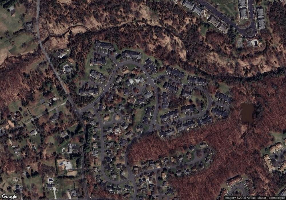
Map
Nearby Homes
- 16 Iroquois Trail
- 33 Iroquois Trail
- 615 Magnolia Ln
- 110 Arbor Way
- 212 County Line Rd
- 21 Cheyenne Trail
- 23 Buffalo Hollow Rd
- 215 Readington Rd
- 6 Heritage Ct
- 508 Keenland Ct
- 3366 Us Highway 22
- 40 France Dr
- 5 Walnut Dr
- 3366 Round Hill Rd
- 41 Coddington Rd
- 46 Strawberry Hill Rd
- 9 Weavers Ln
- 2 Carlisle Rd
- 248 Carol Jean Way
- 203 Red Crest Ln
- 8 Mohave Path
- 4 Mohave Path
- 10 Mohave Path
- 82 Arapaho Trail
- 12 Mohave Path
- 84 Arapaho Trail
- 11 Mohave Path
- 3 Mohave Path
- 86 Arapaho Trail
- 9 Mohave Path
- 1 Mohave Path
- 8 Seminole Path
- 5 Mohave Path
- 7 Mohave Path
- 69 Arapaho Trail
- 67 Arapaho Trail
- 71 Arapaho Trail
- 65 Arapaho Trail
- 73 Arapaho Trail
- 5 Seminole Path