Estimated Value: $826,665 - $1,026,000
3
Beds
4
Baths
1,822
Sq Ft
$511/Sq Ft
Est. Value
About This Home
This home is located at 6 Moxen Ln, South Dartmouth, MA 02748 and is currently estimated at $931,222, approximately $511 per square foot. 6 Moxen Ln is a home located in Bristol County with nearby schools including Dartmouth High School.
Ownership History
Date
Name
Owned For
Owner Type
Purchase Details
Closed on
Nov 16, 2012
Sold by
Dean Andrew J and Dean Ruth G
Bought by
Ruth G Dean T and Dean Ruth G
Current Estimated Value
Purchase Details
Closed on
Feb 10, 2010
Sold by
Dean Ruth G
Bought by
Dean Ruth G and Dean Andrew J
Purchase Details
Closed on
Mar 6, 1986
Bought by
Ruth G Dean T
Create a Home Valuation Report for This Property
The Home Valuation Report is an in-depth analysis detailing your home's value as well as a comparison with similar homes in the area
Home Values in the Area
Average Home Value in this Area
Purchase History
| Date | Buyer | Sale Price | Title Company |
|---|---|---|---|
| Ruth G Dean T | -- | -- | |
| Dean Ruth G | -- | -- | |
| Ruth G Dean T | $79,000 | -- |
Source: Public Records
Mortgage History
| Date | Status | Borrower | Loan Amount |
|---|---|---|---|
| Previous Owner | Ruth G Dean T | $741,000 | |
| Previous Owner | Ruth G Dean T | $190,000 | |
| Previous Owner | Ruth G Dean T | $190,000 | |
| Previous Owner | Ruth G Dean T | $250,000 |
Source: Public Records
Tax History Compared to Growth
Tax History
| Year | Tax Paid | Tax Assessment Tax Assessment Total Assessment is a certain percentage of the fair market value that is determined by local assessors to be the total taxable value of land and additions on the property. | Land | Improvement |
|---|---|---|---|---|
| 2025 | $7,308 | $792,600 | $449,500 | $343,100 |
| 2024 | $7,080 | $764,600 | $437,000 | $327,600 |
| 2023 | $6,576 | $664,200 | $363,200 | $301,000 |
| 2022 | $6,178 | $574,700 | $327,000 | $247,700 |
| 2021 | $5,656 | $508,600 | $283,200 | $225,400 |
| 2020 | $6,973 | $498,600 | $283,200 | $215,400 |
| 2019 | $5,395 | $483,900 | $283,200 | $200,700 |
| 2018 | $5,134 | $472,100 | $266,800 | $205,300 |
| 2017 | $5,535 | $508,700 | $305,300 | $203,400 |
| 2016 | $4,909 | $445,500 | $239,800 | $205,700 |
| 2015 | $4,958 | $450,700 | $242,600 | $208,100 |
| 2014 | $5,059 | $458,200 | $254,600 | $203,600 |
Source: Public Records
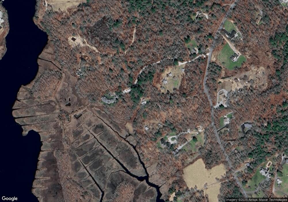
Map
Nearby Homes
- Lot 2E Horseneck Rd
- 61 Pardon Hill Rd
- Lot 1 Rafael Rd
- 1150 Russells Mills Rd
- 24 White Alder Way
- 248 Bakerville Rd
- 2 Slades Farm Ln
- 105 Rock Odundee Rd
- Lot 2 Horseneck Rd
- 482 Smith Neck Rd
- 158 Little River Rd
- 738 Smith Neck Rd
- 24 Eagle Dr
- 34 Country Way
- 99 Sylvia Ln
- 75 Country Way Unit 75
- 12 Meadow Shores Rd
- 48 N Shore Dr Unit 3&7
- 48 N Shore Dr Unit 8
- 73 White Oak Run
- 2 Moxen Ln
- 236 Gaffney Rd
- 237 Gaffney Rd
- 226 Gaffney Rd
- 224 Gaffney Rd
- 704 Rock Odundee Rd
- 238 Gaffney Rd
- 225 Gaffney Rd
- 215 Gaffney Rd
- 235 Gaffney Rd
- 199 Gaffney Rd
- 250 Gaffney Rd
- 250 Gaffney Rd
- 203 Gaffney Rd
- 245 Gaffney Rd
- 194 Gaffney Rd
- 194 Gaffney Rd
- 195 Gaffney Rd
- 684 Rock Odundee Rd
- 680 Rock Odundee Rd