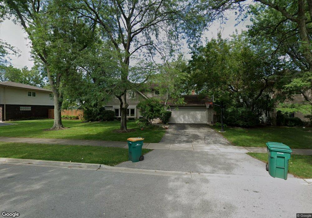
6 Mulberry East Rd Deerfield, IL 60015
Briarwood NeighborhoodEstimated Value: $778,000 - $796,000
4
Beds
3
Baths
2,832
Sq Ft
$278/Sq Ft
Est. Value
About This Home
This home is located at 6 Mulberry East Rd, Deerfield, IL 60015 and is currently estimated at $788,440, approximately $278 per square foot. 6 Mulberry East Rd is a home located in Lake County with nearby schools including Kipling Elementary School, Alan B Shepard Middle School, and Deerfield High School.
Ownership History
Date
Name
Owned For
Owner Type
Purchase Details
Closed on
Jul 19, 2010
Sold by
Croll Mark W and Croll Joni S
Bought by
Geiringer John M and Dunitz Geiringer Jennifer L
Current Estimated Value
Home Financials for this Owner
Home Financials are based on the most recent Mortgage that was taken out on this home.
Original Mortgage
$422,400
Outstanding Balance
$268,517
Interest Rate
3.87%
Mortgage Type
New Conventional
Estimated Equity
$519,923
Create a Home Valuation Report for This Property
The Home Valuation Report is an in-depth analysis detailing your home's value as well as a comparison with similar homes in the area
Home Values in the Area
Average Home Value in this Area
Purchase History
| Date | Buyer | Sale Price | Title Company |
|---|---|---|---|
| Geiringer John M | $500,000 | First American |
Source: Public Records
Mortgage History
| Date | Status | Borrower | Loan Amount |
|---|---|---|---|
| Open | Geiringer John M | $422,400 |
Source: Public Records
Tax History Compared to Growth
Tax History
| Year | Tax Paid | Tax Assessment Tax Assessment Total Assessment is a certain percentage of the fair market value that is determined by local assessors to be the total taxable value of land and additions on the property. | Land | Improvement |
|---|---|---|---|---|
| 2024 | $15,178 | $187,421 | $53,865 | $133,556 |
| 2023 | $15,038 | $168,939 | $48,553 | $120,386 |
| 2022 | $15,038 | $164,360 | $53,338 | $111,022 |
| 2021 | $14,228 | $158,878 | $51,559 | $107,319 |
| 2020 | $13,657 | $158,878 | $51,559 | $107,319 |
| 2019 | $13,306 | $158,135 | $51,318 | $106,817 |
| 2018 | $14,578 | $179,921 | $56,187 | $123,734 |
| 2017 | $14,441 | $178,883 | $55,863 | $123,020 |
| 2016 | $13,893 | $170,300 | $53,183 | $117,117 |
| 2015 | $13,448 | $158,227 | $49,413 | $108,814 |
| 2014 | $14,015 | $159,966 | $64,045 | $95,921 |
| 2012 | $13,640 | $160,900 | $64,419 | $96,481 |
Source: Public Records
Map
Nearby Homes
- 75 Eastwood Dr
- 49 Larkdale Rd
- 75 Mulberry Rd
- 95 Greenbriar Dr E
- 1921 Beechnut Rd
- 1744 Walnut Cir
- 300 Red Oak Rd
- 1851 Oakwood Rd
- 1939 Koehling Rd
- 1816 Rosemary Rd
- 372 Kelburn Rd Unit 313
- 382 Kelburn Rd Unit 122
- 717 Brierhill Rd
- 1280 Rudolph Rd Unit 1
- 1380 Rosemary Ln
- 1220 Rudolph Rd Unit 3A
- 805 Brand Ln
- 513 Sumac Rd
- 850 Evergreen Way
- 757 Kipling Place
- 16 Mulberry East Rd
- 16 Mulberry East Rd
- 2 Mulberry East Rd
- 59 Eastwood Dr
- 32 Mulberry East Rd
- 9 Larkdale East Rd
- 32 Mulberry East Rd
- 17 Larkdale East Rd
- 7 Mulberry East Rd
- 15 Mulberry East Rd
- 3 Mulberry East Rd
- 31 Mulberry East Rd
- 50 Mulberry East Rd
- 50 Mulberry East Rd
- 37 Larkdale East Rd
- 31 Mulberry East Rd
- 25 Mulberry Rd
- 40 Mulberry Rd
- 60 Eastwood Dr
- 37 Mulberry East Rd