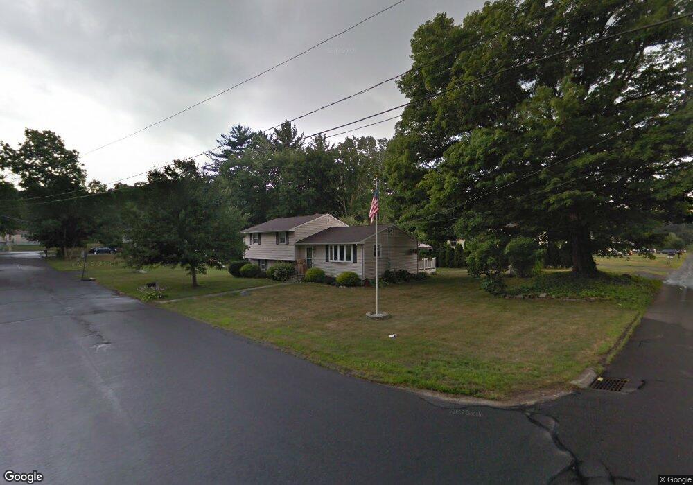
6 Mulberry Ln Wolcott, CT 06716
Estimated Value: $387,000 - $455,000
3
Beds
2
Baths
2,106
Sq Ft
$199/Sq Ft
Est. Value
About This Home
This home is located at 6 Mulberry Ln, Wolcott, CT 06716 and is currently estimated at $419,976, approximately $199 per square foot. 6 Mulberry Ln is a home located in New Haven County with nearby schools including Tyrrell Middle School and Wolcott High School.
Ownership History
Date
Name
Owned For
Owner Type
Purchase Details
Closed on
May 20, 2002
Sold by
Kazemekas Edward C
Bought by
Bove Michelle M
Current Estimated Value
Home Financials for this Owner
Home Financials are based on the most recent Mortgage that was taken out on this home.
Original Mortgage
$141,550
Outstanding Balance
$60,695
Interest Rate
7.15%
Estimated Equity
$359,281
Create a Home Valuation Report for This Property
The Home Valuation Report is an in-depth analysis detailing your home's value as well as a comparison with similar homes in the area
Home Values in the Area
Average Home Value in this Area
Purchase History
| Date | Buyer | Sale Price | Title Company |
|---|---|---|---|
| Bove Michelle M | $149,000 | -- |
Source: Public Records
Mortgage History
| Date | Status | Borrower | Loan Amount |
|---|---|---|---|
| Closed | Bove Michelle M | $53,000 | |
| Open | Bove Michelle M | $141,550 |
Source: Public Records
Tax History Compared to Growth
Tax History
| Year | Tax Paid | Tax Assessment Tax Assessment Total Assessment is a certain percentage of the fair market value that is determined by local assessors to be the total taxable value of land and additions on the property. | Land | Improvement |
|---|---|---|---|---|
| 2025 | $7,335 | $204,140 | $39,960 | $164,180 |
| 2024 | $6,751 | $204,140 | $39,960 | $164,180 |
| 2023 | $6,506 | $204,140 | $39,960 | $164,180 |
| 2022 | $6,288 | $204,140 | $39,960 | $164,180 |
| 2021 | $5,969 | $180,110 | $37,860 | $142,250 |
| 2020 | $4,811 | $145,160 | $37,860 | $107,300 |
| 2019 | $4,811 | $145,160 | $37,860 | $107,300 |
| 2018 | $4,674 | $145,160 | $37,860 | $107,300 |
| 2017 | $4,456 | $142,500 | $37,860 | $104,640 |
| 2016 | $4,273 | $147,810 | $38,560 | $109,250 |
| 2015 | $4,151 | $147,810 | $38,560 | $109,250 |
| 2014 | $4,016 | $147,810 | $38,560 | $109,250 |
Source: Public Records
Map
Nearby Homes
- 210 Munson Rd Unit 2-G
- 210 Munson Rd Unit 2-F
- 210 Munson Rd Unit 2-E
- 210 Munson Rd Unit 2-D
- 210 Munson Rd Unit 2-C
- 210 Munson Rd Unit 2-B
- 210 Munson Rd Unit 2-A
- 210 Munson Rd Unit 2-H
- 210 Munson Rd Unit 3A
- 210 Munson Rd Unit 3C
- 210 Munson Rd Unit 3B
- 210 Munson Rd Unit 3D
- 20 Wolf Hill Rd Unit 4D
- 2 Red Fox Run
- 160 Brooks Hill Rd
- 124 Potuccos Ring Rd
- 7 Overvale Rd
- 0 Woodtick Rd Unit 24119429
- 143 Bound Line Rd
- 1209 Woodtick Rd