6 Murrant Ave Vineyard Haven, MA 02568
Oak Bluffs NeighborhoodEstimated Value: $913,000 - $1,074,000
3
Beds
1
Bath
936
Sq Ft
$1,083/Sq Ft
Est. Value
About This Home
This home is located at 6 Murrant Ave, Vineyard Haven, MA 02568 and is currently estimated at $1,014,101, approximately $1,083 per square foot. 6 Murrant Ave is a home located in Dukes County with nearby schools including Oak Bluffs Elementary School, Martha's Vineyard Regional High School, and Vineyard Montessori School.
Ownership History
Date
Name
Owned For
Owner Type
Purchase Details
Closed on
Mar 12, 2004
Sold by
Marathas George
Bought by
Reppucci Betty L and Reppucci Joseph A
Current Estimated Value
Home Financials for this Owner
Home Financials are based on the most recent Mortgage that was taken out on this home.
Original Mortgage
$294,000
Interest Rate
5.67%
Mortgage Type
Purchase Money Mortgage
Create a Home Valuation Report for This Property
The Home Valuation Report is an in-depth analysis detailing your home's value as well as a comparison with similar homes in the area
Home Values in the Area
Average Home Value in this Area
Purchase History
| Date | Buyer | Sale Price | Title Company |
|---|---|---|---|
| Reppucci Betty L | $395,000 | -- |
Source: Public Records
Mortgage History
| Date | Status | Borrower | Loan Amount |
|---|---|---|---|
| Open | Reppucci Betty L | $278,000 | |
| Closed | Reppucci Betty L | $294,000 |
Source: Public Records
Tax History Compared to Growth
Tax History
| Year | Tax Paid | Tax Assessment Tax Assessment Total Assessment is a certain percentage of the fair market value that is determined by local assessors to be the total taxable value of land and additions on the property. | Land | Improvement |
|---|---|---|---|---|
| 2025 | $4,295 | $850,400 | $502,000 | $348,400 |
| 2024 | $4,149 | $793,400 | $456,200 | $337,200 |
| 2023 | $4,081 | $772,900 | $443,200 | $329,700 |
| 2022 | $3,889 | $572,800 | $333,900 | $238,900 |
| 2021 | $3,739 | $507,300 | $290,100 | $217,200 |
| 2020 | $3,533 | $474,800 | $272,900 | $201,900 |
| 2019 | $3,354 | $436,200 | $238,000 | $198,200 |
| 2018 | $3,242 | $414,000 | $215,000 | $199,000 |
| 2017 | $3,076 | $377,400 | $203,800 | $173,600 |
| 2016 | $2,934 | $361,800 | $210,100 | $151,700 |
| 2015 | $2,759 | $346,600 | $210,100 | $136,500 |
| 2014 | $2,587 | $331,200 | $190,300 | $140,900 |
Source: Public Records
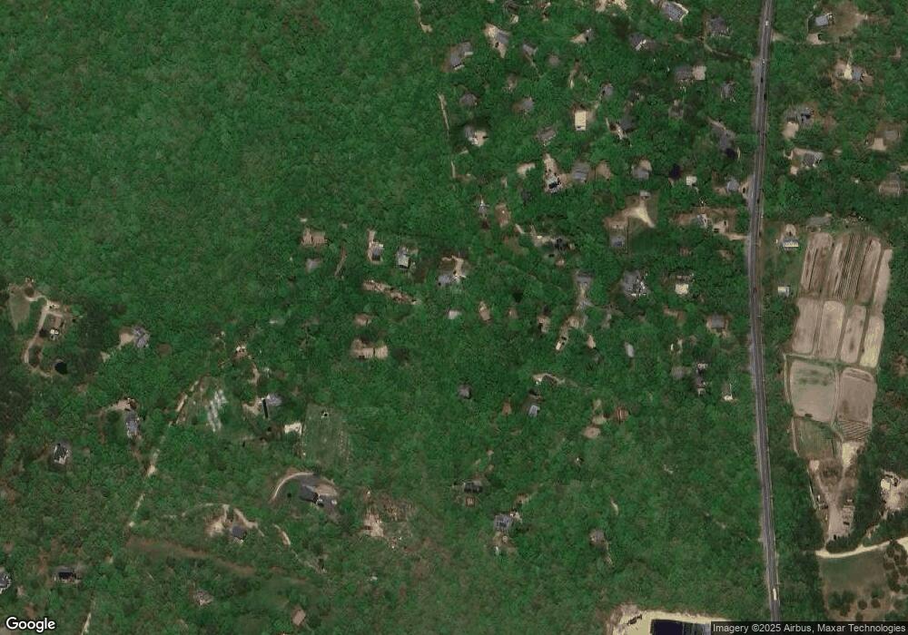
Map
Nearby Homes
- 12 Wheelhouse Way
- 12 Park Ave
- 71 Stoney Hill Rd
- 169 Clover Hill Dr
- 44 Iron Hill Rd
- 44 Iron Hill Rd Unit 1.7
- 44 Iron Hill Rd
- 400 Barnes Rd
- 385 Barnes Rd
- 0 Barnes Rd Unit 32400334
- 0 Barnes Rd Unit 59 42701
- 39 Iron Hill Rd
- 47 Tiffany Dr
- 56 Holmes Hole Rd Unit 10
- 56 Holmes Hole Rd
- 44 Tiffany Dr
- 10 Putnam Way
- 4 Rock Pond Rd
- 0 Red Buoy Ln Unit Lot 147 32500278
- 147 Red Buoy Ln Unit 2.1
- 26 Sea Glen Rd
- 24 &26 Sea Glen Rd
- 22 Sea Glen Rd
- 26 Sea Glen Rd
- 0 Murrant Ave
- 3 Little Rock Way
- 8 Murrant Ave
- 30 Sea Glen Rd
- 32 Sea Glen Rd
- 16 Sea Glen Rd
- 9 Great Rock Rd
- 59 Hay Path Rd
- 57 Hay Path Rd
- 12 Sea Glen Rd
- 12 Sea Glen Rd
- 20 Fairway Dr
- 7 Morgan Luce Ln
- 10 Sea Glen Rd
- 18 Fairway Dr
- 8 Fairway Dr