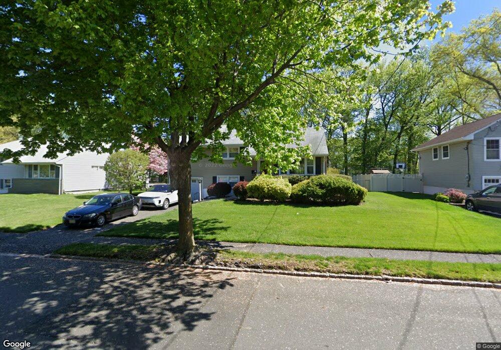
6 N Derby Rd Springfield, NJ 07081
Estimated Value: $688,000 - $868,000
3
Beds
2
Baths
1,574
Sq Ft
$474/Sq Ft
Est. Value
About This Home
This home is located at 6 N Derby Rd, Springfield, NJ 07081 and is currently estimated at $746,504, approximately $474 per square foot. 6 N Derby Rd is a home located in Union County with nearby schools including Jonathan Dayton High School and St James The Apostle School.
Ownership History
Date
Name
Owned For
Owner Type
Purchase Details
Closed on
Mar 27, 2024
Sold by
Zadik Eyal S and Gabay-Zadik May Tal
Bought by
P A D Living Trust and Zadik
Current Estimated Value
Purchase Details
Closed on
Oct 27, 2014
Sold by
Levine Moshe Y and Levine Molly E
Bought by
Zadik Eyal S and Gabay Zadik May Tal
Home Financials for this Owner
Home Financials are based on the most recent Mortgage that was taken out on this home.
Original Mortgage
$321,600
Interest Rate
4.18%
Mortgage Type
New Conventional
Purchase Details
Closed on
May 30, 2014
Sold by
Keehn Harriet
Bought by
Levine Moshe Y and Levine Molly E
Home Financials for this Owner
Home Financials are based on the most recent Mortgage that was taken out on this home.
Original Mortgage
$232,500
Interest Rate
4.33%
Mortgage Type
New Conventional
Create a Home Valuation Report for This Property
The Home Valuation Report is an in-depth analysis detailing your home's value as well as a comparison with similar homes in the area
Home Values in the Area
Average Home Value in this Area
Purchase History
| Date | Buyer | Sale Price | Title Company |
|---|---|---|---|
| P A D Living Trust | -- | Chicago Title | |
| P A D Living Trust | -- | Chicago Title | |
| Zadik Eyal S | $402,000 | Chicago Title Insurance Co | |
| Levine Moshe Y | $310,000 | None Available |
Source: Public Records
Mortgage History
| Date | Status | Borrower | Loan Amount |
|---|---|---|---|
| Previous Owner | Zadik Eyal S | $321,600 | |
| Previous Owner | Levine Moshe Y | $232,500 |
Source: Public Records
Tax History
| Year | Tax Paid | Tax Assessment Tax Assessment Total Assessment is a certain percentage of the fair market value that is determined by local assessors to be the total taxable value of land and additions on the property. | Land | Improvement |
|---|---|---|---|---|
| 2025 | $12,968 | $565,100 | $219,800 | $345,300 |
| 2024 | $12,755 | $546,000 | $219,800 | $326,200 |
| 2023 | $12,755 | $546,000 | $219,800 | $326,200 |
| 2022 | $11,843 | $546,000 | $219,800 | $326,200 |
| 2021 | $12,314 | $165,400 | $68,900 | $96,500 |
| 2020 | $12,122 | $165,400 | $68,900 | $96,500 |
| 2019 | $11,958 | $165,400 | $68,900 | $96,500 |
| 2018 | $11,743 | $165,400 | $68,900 | $96,500 |
| 2017 | $11,421 | $165,400 | $68,900 | $96,500 |
| 2016 | $11,199 | $165,400 | $68,900 | $96,500 |
| 2015 | $11,069 | $165,400 | $68,900 | $96,500 |
| 2014 | $10,144 | $154,500 | $68,900 | $85,600 |
Source: Public Records
Map
Nearby Homes
- 35 S Derby Rd
- 701 Mountain Ave
- 3215 Park Place
- 23 Diven St
- 3702 Park Place
- 1906 Park Place
- 559 S Springfield Ave Unit 559
- 13 Evergreen Ave
- 20 Archbridge Ln
- 29 Manitou Cir
- 986 Chimney Ridge Dr
- 427 Summit Rd
- 423 Summit Rd
- 294 Mountain Ave
- 58 B Sandra Cir Unit 1
- 58a Sandra Cir Unit A2
- 1098 Sunny Slope Dr
- 52b Sandra Cir Unit 2B
- 373 Upland Rd
- 46 B Sandra Cir Unit 4
Your Personal Tour Guide
Ask me questions while you tour the home.