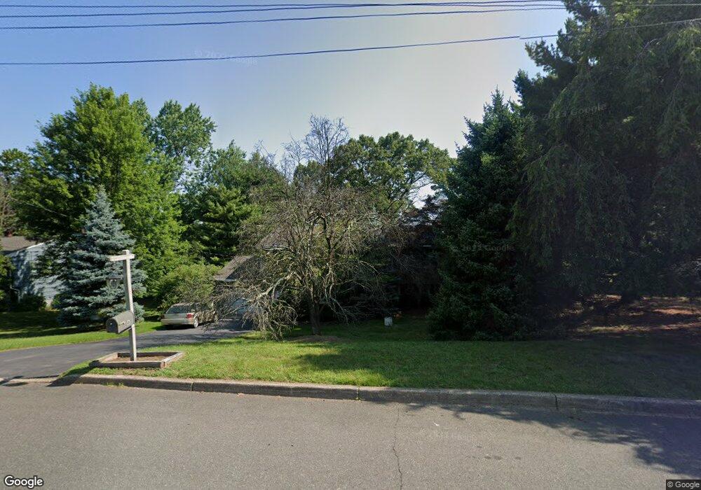
6 Nassau Ct Branchburg, NJ 08876
Branchburg Township NeighborhoodEstimated Value: $708,929 - $766,000
--
Bed
--
Bath
2,486
Sq Ft
$293/Sq Ft
Est. Value
About This Home
This home is located at 6 Nassau Ct, Branchburg, NJ 08876 and is currently estimated at $728,982, approximately $293 per square foot. 6 Nassau Ct is a home located in Somerset County with nearby schools including Whiton Elementary School, Stony Brook School, and Branchburg Central Middle School.
Ownership History
Date
Name
Owned For
Owner Type
Purchase Details
Closed on
Sep 21, 2015
Sold by
Cicchetti Nancy and Flynn Family 2012 Irrevocable
Bought by
Dazet Daniel and Dazet Ellen C
Current Estimated Value
Purchase Details
Closed on
Dec 22, 2012
Sold by
Flynn Herman and Flynn Herman
Bought by
Dazet Daniel and Dazet Ellon C
Purchase Details
Closed on
Nov 12, 2007
Sold by
Flynn Barbara and Flynn Herman
Bought by
Flynn Barbara and Flynn Herman
Purchase Details
Closed on
Mar 9, 1992
Sold by
Flynn Herman W and Flynn Barbara
Bought by
Flynn Barbara B
Create a Home Valuation Report for This Property
The Home Valuation Report is an in-depth analysis detailing your home's value as well as a comparison with similar homes in the area
Home Values in the Area
Average Home Value in this Area
Purchase History
| Date | Buyer | Sale Price | Title Company |
|---|---|---|---|
| Dazet Daniel | -- | Attorney | |
| Dazet Daniel | $450,000 | None Available | |
| Flynn Herman | -- | None Available | |
| Flynn Barbara | -- | None Available | |
| Flynn Barbara | -- | None Available | |
| Flynn Barbara B | -- | -- |
Source: Public Records
Tax History Compared to Growth
Tax History
| Year | Tax Paid | Tax Assessment Tax Assessment Total Assessment is a certain percentage of the fair market value that is determined by local assessors to be the total taxable value of land and additions on the property. | Land | Improvement |
|---|---|---|---|---|
| 2025 | $9,531 | $578,000 | $169,200 | $408,800 |
| 2024 | $9,531 | $528,300 | $169,200 | $359,100 |
| 2023 | $9,355 | $500,000 | $169,200 | $330,800 |
| 2022 | $9,292 | $471,900 | $169,200 | $302,700 |
| 2021 | $9,352 | $442,400 | $169,200 | $273,200 |
| 2020 | $9,236 | $431,000 | $169,200 | $261,800 |
| 2019 | $9,068 | $420,800 | $164,200 | $256,600 |
| 2018 | $8,901 | $411,900 | $159,200 | $252,700 |
| 2017 | $8,854 | $406,900 | $154,200 | $252,700 |
| 2016 | $8,830 | $403,200 | $149,200 | $254,000 |
| 2015 | $8,729 | $399,300 | $144,200 | $255,100 |
| 2014 | $8,610 | $398,600 | $142,400 | $256,200 |
Source: Public Records
Map
Nearby Homes
- 185 Milltown Rd
- 3010 Doolittle Dr
- 2801 Doolittle Dr
- 2512 Lindsley Rd
- 2104 Doolittle Dr
- 5 Walnut Dr
- 1601 Breckenridge Dr
- 2706 Pinhorn Dr
- 3214 Winder Dr
- 87 Ivy Ln
- 507 Dunn Cir
- 2008 Ackmen Ct
- 3803 Vroom Dr
- 501 Reading Cir
- 511 Red Crest Ln
- 3705 Vroom Dr Unit 3705
- 10 Red Oak Way
- 317 Old York Rd
- 203 Red Crest Ln
- 2103 Vroom Dr