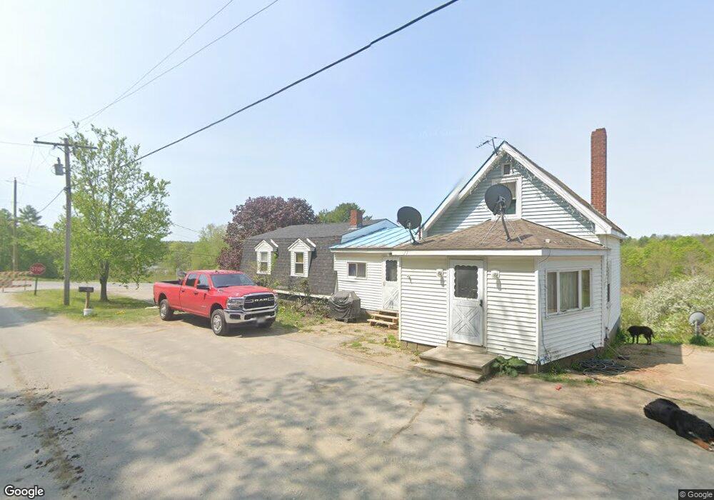
6 NE Elm St Mercer, ME 04957
Estimated Value: $217,846 - $261,000
3
Beds
2
Baths
720
Sq Ft
$332/Sq Ft
Est. Value
About This Home
This home is located at 6 NE Elm St, Mercer, ME 04957 and is currently estimated at $238,962, approximately $331 per square foot. 6 NE Elm St is a home located in Somerset County.
Ownership History
Date
Name
Owned For
Owner Type
Purchase Details
Closed on
May 15, 2018
Sold by
Henderson Bonita L
Bought by
Colson Laura and Colson Alden
Current Estimated Value
Home Financials for this Owner
Home Financials are based on the most recent Mortgage that was taken out on this home.
Original Mortgage
$43,120
Outstanding Balance
$37,162
Interest Rate
4.44%
Mortgage Type
New Conventional
Estimated Equity
$201,800
Create a Home Valuation Report for This Property
The Home Valuation Report is an in-depth analysis detailing your home's value as well as a comparison with similar homes in the area
Home Values in the Area
Average Home Value in this Area
Purchase History
| Date | Buyer | Sale Price | Title Company |
|---|---|---|---|
| Colson Laura | -- | -- |
Source: Public Records
Mortgage History
| Date | Status | Borrower | Loan Amount |
|---|---|---|---|
| Open | Colson Laura | $43,120 |
Source: Public Records
Tax History Compared to Growth
Tax History
| Year | Tax Paid | Tax Assessment Tax Assessment Total Assessment is a certain percentage of the fair market value that is determined by local assessors to be the total taxable value of land and additions on the property. | Land | Improvement |
|---|---|---|---|---|
| 2024 | $2,030 | $193,300 | $38,900 | $154,400 |
| 2023 | $1,877 | $100,906 | $24,353 | $76,553 |
| 2022 | $1,595 | $90,618 | $24,353 | $66,265 |
| 2021 | $1,595 | $90,618 | $24,353 | $66,265 |
| 2020 | $1,557 | $88,446 | $22,853 | $65,593 |
| 2019 | $1,530 | $88,446 | $22,853 | $65,593 |
| 2018 | $1,393 | $84,946 | $19,353 | $65,593 |
| 2017 | $1,358 | $84,946 | $19,353 | $65,593 |
| 2016 | $1,355 | $84,946 | $19,353 | $65,593 |
| 2015 | $1,344 | $84,946 | $19,353 | $65,593 |
| 2014 | $1,295 | $84,946 | $19,353 | $65,593 |
Source: Public Records
Map
Nearby Homes
- 510 Branns Mill Rd
- M18L13 Mercer Rd
- Lot 59&60 Starks Rd
- 331 Beans Corner Rd
- 0 Poor Farm Rd Unit 1637355
- 2679 Industry Rd
- M1 L19 Homestead Hill Rd
- 17 Anson Rd
- 735 Sandy River Rd
- 257 Sandy River Rd
- 10 Trista Ln
- 137 Butterfield Rd
- Lot 1 Oak Hill Rd
- Lot 2 Oak Hill Rd
- 35 Industry Rd
- 681 Mile Hill Rd
- 43 Doane Rd
- 33 Kimball Pond
- 257 Sawyers Mills Rd
- 55 Cape Cod Hill Rd