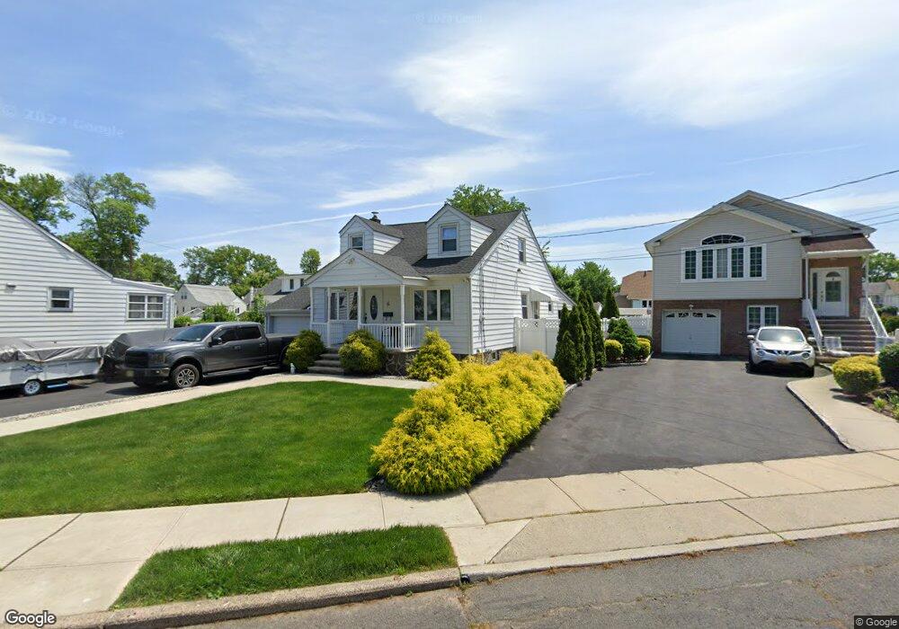
6 Newton St Linden, NJ 07036
Estimated Value: $439,000 - $521,000
--
Bed
--
Bath
864
Sq Ft
$563/Sq Ft
Est. Value
About This Home
This home is located at 6 Newton St, Linden, NJ 07036 and is currently estimated at $486,791, approximately $563 per square foot. 6 Newton St is a home located in Union County with nearby schools including Number 10, Myles J. McManus Middle School, and Linden High School.
Ownership History
Date
Name
Owned For
Owner Type
Purchase Details
Closed on
Sep 29, 2006
Sold by
Poznanski Robert
Bought by
Ebbe Christopher Ferreira
Current Estimated Value
Home Financials for this Owner
Home Financials are based on the most recent Mortgage that was taken out on this home.
Original Mortgage
$256,000
Outstanding Balance
$160,296
Interest Rate
7.37%
Mortgage Type
Adjustable Rate Mortgage/ARM
Estimated Equity
$326,495
Create a Home Valuation Report for This Property
The Home Valuation Report is an in-depth analysis detailing your home's value as well as a comparison with similar homes in the area
Home Values in the Area
Average Home Value in this Area
Purchase History
| Date | Buyer | Sale Price | Title Company |
|---|---|---|---|
| Ebbe Christopher Ferreira | $320,000 | -- |
Source: Public Records
Mortgage History
| Date | Status | Borrower | Loan Amount |
|---|---|---|---|
| Open | Ebbe Christopher Ferreira | $256,000 |
Source: Public Records
Tax History Compared to Growth
Tax History
| Year | Tax Paid | Tax Assessment Tax Assessment Total Assessment is a certain percentage of the fair market value that is determined by local assessors to be the total taxable value of land and additions on the property. | Land | Improvement |
|---|---|---|---|---|
| 2025 | $7,876 | $112,000 | $56,200 | $55,800 |
| 2024 | $7,703 | $112,000 | $56,200 | $55,800 |
| 2023 | $7,703 | $112,000 | $56,200 | $55,800 |
| 2022 | $7,744 | $112,000 | $56,200 | $55,800 |
| 2021 | $7,783 | $112,000 | $56,200 | $55,800 |
| 2020 | $7,741 | $112,000 | $56,200 | $55,800 |
| 2019 | $7,716 | $112,000 | $56,200 | $55,800 |
| 2018 | $7,713 | $112,000 | $56,200 | $55,800 |
| 2017 | $7,547 | $112,000 | $56,200 | $55,800 |
| 2016 | $7,309 | $112,000 | $56,200 | $55,800 |
| 2015 | $7,030 | $112,000 | $56,200 | $55,800 |
| 2014 | $6,894 | $112,000 | $56,200 | $55,800 |
Source: Public Records
Map
Nearby Homes
- 38 Pallant Ave
- 53 Pallant Ave
- 74 Raritan Rd
- 57 Berlant Ave
- 2513 N Wood Ave
- 113 Raritan Rd
- 569 Berlant Ave
- 538 Dietz St
- 540 W 7th Ave
- 826 Amsterdam Ave
- 13 Independence Dr
- 448 Cristiani St
- 107 Myrtle St
- 323 Dermody St
- 38 Independence Dr
- 63 Elmwood Terrace
- 446 W 6th Ave
- 333 Livingston Rd
- 217 Grace St
- 123 Robbinwood Terrace
- 4 Newton St
- 8 Newton St
- 39 Pallant Ave
- 18 Chatham Place
- 41 Pallant Ave
- 37 Pallant Ave
- 16 Chatham Place
- 35 Pallant Ave
- 19 Chatham Place
- 1 Newton St
- 14 Chatham Place
- 33 Pallant Ave
- 42 Pallant Ave
- 40 Pallant Ave
- 17 Chatham Place
- 44 Pallant Ave
- 12 Chatham Place
- 31 Pallant Ave
- 54 Furber Ave
- 46 Pallant Ave