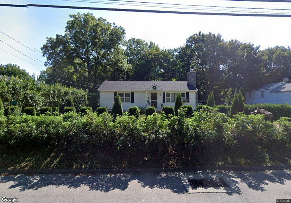
6 Nod Rd Clinton, CT 06413
Estimated Value: $345,000 - $380,028
2
Beds
1
Bath
960
Sq Ft
$382/Sq Ft
Est. Value
About This Home
This home is located at 6 Nod Rd, Clinton, CT 06413 and is currently estimated at $366,507, approximately $381 per square foot. 6 Nod Rd is a home located in Middlesex County with nearby schools including Lewin G. Joel Jr. School, The Morgan School, and Our Lady of Mercy Preparatory Academy.
Ownership History
Date
Name
Owned For
Owner Type
Purchase Details
Closed on
Sep 16, 2013
Sold by
Haagensen Lynn A
Bought by
Haagensen Eric E
Current Estimated Value
Home Financials for this Owner
Home Financials are based on the most recent Mortgage that was taken out on this home.
Original Mortgage
$52,000
Interest Rate
4.43%
Purchase Details
Closed on
Nov 21, 1997
Sold by
Eriksson Carl W
Bought by
Haggensen Eric E and Haggensen Lynn A
Purchase Details
Closed on
Feb 2, 1987
Sold by
Pauelka Robert A
Bought by
Eriksson Carl W
Create a Home Valuation Report for This Property
The Home Valuation Report is an in-depth analysis detailing your home's value as well as a comparison with similar homes in the area
Home Values in the Area
Average Home Value in this Area
Purchase History
| Date | Buyer | Sale Price | Title Company |
|---|---|---|---|
| Haagensen Eric E | -- | -- | |
| Haagensen Eric E | -- | -- | |
| Haagensen Eric E | -- | -- | |
| Haggensen Eric E | $110,000 | -- | |
| Haggensen Eric E | $110,000 | -- | |
| Eriksson Carl W | $120,000 | -- |
Source: Public Records
Mortgage History
| Date | Status | Borrower | Loan Amount |
|---|---|---|---|
| Closed | Haagensen Eric E | $52,000 | |
| Previous Owner | Eriksson Carl W | $95,000 |
Source: Public Records
Tax History
| Year | Tax Paid | Tax Assessment Tax Assessment Total Assessment is a certain percentage of the fair market value that is determined by local assessors to be the total taxable value of land and additions on the property. | Land | Improvement |
|---|---|---|---|---|
| 2025 | $3,864 | $124,100 | $47,100 | $77,000 |
| 2024 | $3,722 | $123,000 | $47,100 | $75,900 |
| 2023 | $3,669 | $123,000 | $47,100 | $75,900 |
| 2022 | $3,669 | $123,000 | $47,100 | $75,900 |
| 2021 | $3,538 | $118,600 | $47,100 | $71,500 |
| 2020 | $3,706 | $118,600 | $47,100 | $71,500 |
| 2019 | $3,706 | $118,600 | $47,100 | $71,500 |
| 2018 | $3,622 | $118,600 | $47,100 | $71,500 |
| 2017 | $3,547 | $118,600 | $47,100 | $71,500 |
| 2016 | $3,219 | $118,600 | $47,100 | $71,500 |
| 2015 | $3,071 | $114,700 | $52,400 | $62,300 |
| 2014 | $3,013 | $114,700 | $52,400 | $62,300 |
Source: Public Records
Map
Nearby Homes
- 64 W Main St
- 0 Cow Hill Rd
- 133 W Main St Unit MV1
- 133 W Main St Unit TRLR A9
- 16 Silverbrook Ln
- 38 Sunnybrook Ln
- 6 Sandgate Cir
- 10 Runnymede Ln
- 24 Indian Dr
- 3 Sandgate Cir
- 22 Indian Dr
- 4 Currycross Rd Unit 4
- 110 E Main St
- 144 E Main St Unit 5
- 63GG Dudley Ln
- 151 E Main St Unit 12
- 153 E Main St Unit 10
- 153 E Main St Unit 13
- 153 E Main St Unit 31
- 153 E Main St Unit 8
- 8 Nod Rd
- 4 Nod Rd
- 10 Nod Rd
- 1 Nod Rd Unit 2
- 1 Nod Rd
- 1 Nod Rd Unit FARMHOUS
- 12 Nod Rd
- 19 Cow Hill Rd
- 15 N High St
- 16 Nod Rd
- 21 Cow Hill Rd
- 67 W Main St Unit 221
- 67 W Main St Unit 211
- 67 W Main St Unit 212
- 67 W Main St Unit 211 & 212
- 67 W Main St Unit 112 & 113
- 67 W Main St Unit 113
- 67 W Main St Unit 112
- 67 W Main St Unit 4-3
- 67 W Main St Unit 4.2
Your Personal Tour Guide
Ask me questions while you tour the home.