6 Norfolk Ct Reisterstown, MD 21136
Oregon Ridge NeighborhoodEstimated Value: $1,458,026 - $1,823,000
--
Bed
6
Baths
5,584
Sq Ft
$301/Sq Ft
Est. Value
About This Home
This home is located at 6 Norfolk Ct, Reisterstown, MD 21136 and is currently estimated at $1,682,675, approximately $301 per square foot. 6 Norfolk Ct is a home located in Baltimore County with nearby schools including Franklin Elementary School, Franklin Middle, and Franklin High.
Ownership History
Date
Name
Owned For
Owner Type
Purchase Details
Closed on
Nov 1, 2010
Sold by
Saslow Real Estate
Bought by
Park Peter and Park Marcia
Current Estimated Value
Home Financials for this Owner
Home Financials are based on the most recent Mortgage that was taken out on this home.
Original Mortgage
$1,012,500
Outstanding Balance
$691,779
Interest Rate
4.98%
Mortgage Type
New Conventional
Estimated Equity
$990,896
Purchase Details
Closed on
Jun 21, 2005
Sold by
Toby Investments Llc
Bought by
Saslow Real Estate
Create a Home Valuation Report for This Property
The Home Valuation Report is an in-depth analysis detailing your home's value as well as a comparison with similar homes in the area
Home Values in the Area
Average Home Value in this Area
Purchase History
| Date | Buyer | Sale Price | Title Company |
|---|---|---|---|
| Park Peter | $1,362,500 | -- | |
| Saslow Real Estate | $540,000 | -- |
Source: Public Records
Mortgage History
| Date | Status | Borrower | Loan Amount |
|---|---|---|---|
| Open | Park Peter | $1,012,500 |
Source: Public Records
Tax History Compared to Growth
Tax History
| Year | Tax Paid | Tax Assessment Tax Assessment Total Assessment is a certain percentage of the fair market value that is determined by local assessors to be the total taxable value of land and additions on the property. | Land | Improvement |
|---|---|---|---|---|
| 2025 | $13,475 | $1,137,000 | $301,200 | $835,800 |
| 2024 | $13,475 | $1,111,933 | $0 | $0 |
| 2023 | $6,616 | $1,086,867 | $0 | $0 |
| 2022 | $12,812 | $1,061,800 | $301,200 | $760,600 |
| 2021 | $12,879 | $1,059,733 | $0 | $0 |
| 2020 | $12,879 | $1,057,667 | $0 | $0 |
| 2019 | $12,854 | $1,055,600 | $301,200 | $754,400 |
| 2018 | $12,691 | $1,042,167 | $0 | $0 |
| 2017 | $12,415 | $1,028,733 | $0 | $0 |
| 2016 | $13,938 | $1,015,300 | $0 | $0 |
| 2015 | $13,938 | $1,015,300 | $0 | $0 |
| 2014 | $13,938 | $1,015,300 | $0 | $0 |
Source: Public Records
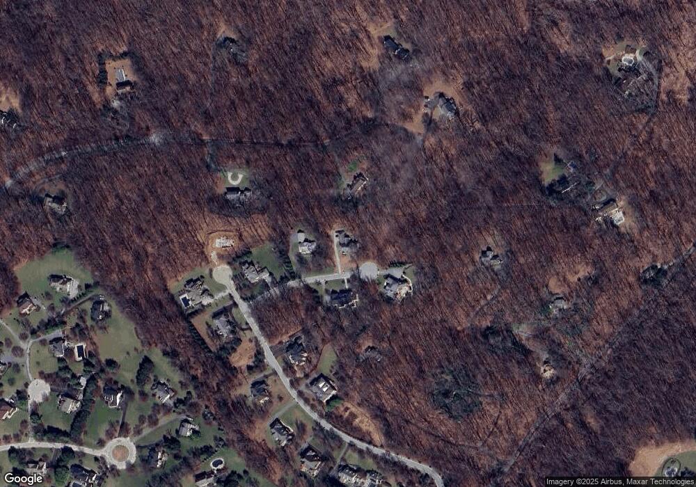
Map
Nearby Homes
- 1 Norfolk Ct
- 2101 Tufton Ave
- 4 Quail Covey Ct
- 2201 Knox Ave
- 0 Cuba Rd Unit MDBC2146194
- 14323 ROAD Cuba Rd
- 2801 Baublitz Rd
- 12325 Falls Rd
- 1507 Heather Hill Ln
- 12645 Greenspring Ave
- 12643 Greenspring Ave
- 6 Chris Eliot Ct
- 2410 Greenspring Ave
- 1501 - B Peachwood Ln
- 1501 - C Peachwood Ln
- 2414 Greenspring Ave
- 218 Hickory Hollow Ct
- 2310 Gadd Rd
- 2407 Greenspring Ave
- 14111 Green Rd
- 4 Norfolk Ct
- 8 Norfolk Ct
- 7 Norfolk Ct
- 2105 Tufton Ridge Rd
- 5 Norfolk Ct
- 13116 Pendleton Ct
- 1936 Knox Ave
- 13118 Pendleton Ct
- 13110 Pendleton Ct
- 2107 Tufton Ridge Rd
- 13108 Pendleton Ct
- 1922 Knox Ave
- 13113 Pendleton Ct
- 13115 Pendleton Ct
- 2104 Tufton Ridge Rd
- 13109 Pendleton Ct
- 1930 Knox Ave
- 2106 Tufton Ridge Rd
- 13117 Pendleton Ct
- 13107 Pendleton Ct