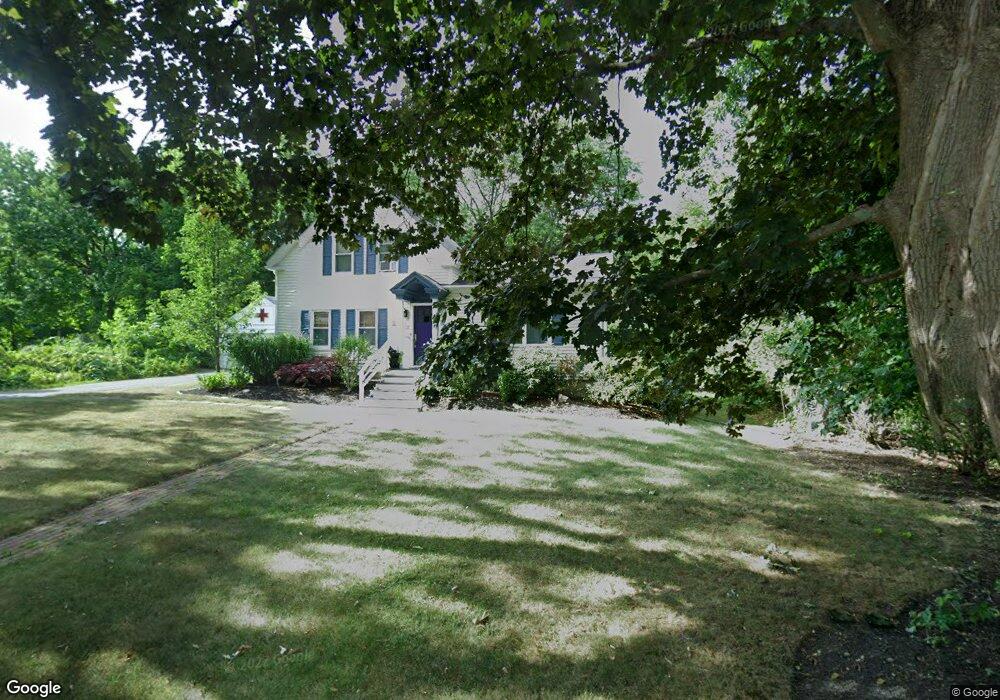
6 Oak St Medway, MA 02053
Estimated Value: $541,847 - $708,000
3
Beds
2
Baths
1,530
Sq Ft
$403/Sq Ft
Est. Value
About This Home
This home is located at 6 Oak St, Medway, MA 02053 and is currently estimated at $616,212, approximately $402 per square foot. 6 Oak St is a home located in Norfolk County with nearby schools including John D. McGovern Elementary School, Burke-Memorial Elementary, and Medway Middle School.
Ownership History
Date
Name
Owned For
Owner Type
Purchase Details
Closed on
Feb 24, 2025
Sold by
Freeman Dale H and Freeman Andra A
Bought by
Secret Garden Ret and Freeman
Current Estimated Value
Purchase Details
Closed on
Oct 30, 1998
Sold by
Sheppard Gerald G and Sheppard Dolores M
Bought by
Freeman Dale H and Freeman Andra
Home Financials for this Owner
Home Financials are based on the most recent Mortgage that was taken out on this home.
Original Mortgage
$168,800
Interest Rate
6.68%
Mortgage Type
Purchase Money Mortgage
Create a Home Valuation Report for This Property
The Home Valuation Report is an in-depth analysis detailing your home's value as well as a comparison with similar homes in the area
Home Values in the Area
Average Home Value in this Area
Purchase History
| Date | Buyer | Sale Price | Title Company |
|---|---|---|---|
| Secret Garden Ret | -- | None Available | |
| Secret Garden Ret | -- | None Available | |
| Freeman Dale H | $211,000 | -- |
Source: Public Records
Mortgage History
| Date | Status | Borrower | Loan Amount |
|---|---|---|---|
| Previous Owner | Freeman Dale H | $92,440 | |
| Previous Owner | Freeman Dale H | $168,800 | |
| Closed | Freeman Dale H | $21,100 |
Source: Public Records
Tax History Compared to Growth
Tax History
| Year | Tax Paid | Tax Assessment Tax Assessment Total Assessment is a certain percentage of the fair market value that is determined by local assessors to be the total taxable value of land and additions on the property. | Land | Improvement |
|---|---|---|---|---|
| 2025 | $6,911 | $485,000 | $291,800 | $193,200 |
| 2024 | $6,984 | $485,000 | $291,800 | $193,200 |
| 2023 | $6,508 | $408,300 | $241,800 | $166,500 |
| 2022 | $6,259 | $369,700 | $214,700 | $155,000 |
| 2021 | $6,125 | $350,800 | $198,000 | $152,800 |
| 2020 | $5,884 | $336,200 | $183,400 | $152,800 |
| 2019 | $5,639 | $332,300 | $183,400 | $148,900 |
| 2018 | $5,814 | $329,200 | $175,100 | $154,100 |
| 2017 | $5,786 | $322,900 | $168,800 | $154,100 |
| 2016 | $5,649 | $311,900 | $162,600 | $149,300 |
| 2015 | $5,120 | $280,700 | $150,100 | $130,600 |
| 2014 | $5,049 | $268,000 | $150,100 | $117,900 |
Source: Public Records
Map
Nearby Homes
- 176 Main St Unit 3
- 28 Wellington St
- 5 Fales St
- 220 Main St Unit 220
- 6 Freedom Trail
- 280 Village St Unit D2
- 4 Shaw St
- 14 Heritage Dr
- 22 Sunset Dr
- 21 Riverside Rd
- 36 Lovering St
- 12 Lovering St
- 39 West St
- 3 Meryl St
- 12 Longmeadow Ln
- 18 Mary Anne Dr
- 106 Holliston St
- 462 Hartford Ave
- 455 Hartford Ave
- 15 Broad Acres Farm Rd