6 Ocean View Ave Mattapoisett, MA 02739
Estimated Value: $997,000 - $1,367,985
3
Beds
2
Baths
2,057
Sq Ft
$568/Sq Ft
Est. Value
About This Home
This home is located at 6 Ocean View Ave, Mattapoisett, MA 02739 and is currently estimated at $1,168,746, approximately $568 per square foot. 6 Ocean View Ave is a home located in Plymouth County with nearby schools including Center School, Old Hammondtown Elementary, and Old Rochester Regional High School.
Ownership History
Date
Name
Owned For
Owner Type
Purchase Details
Closed on
Mar 18, 2020
Sold by
Wagner David L and Wagner Ellen S
Bought by
Hartnett Laura C and Hartnett John F
Current Estimated Value
Purchase Details
Closed on
Jun 1, 1979
Bought by
Wagner David L and Wagner Ellen S
Create a Home Valuation Report for This Property
The Home Valuation Report is an in-depth analysis detailing your home's value as well as a comparison with similar homes in the area
Home Values in the Area
Average Home Value in this Area
Purchase History
| Date | Buyer | Sale Price | Title Company |
|---|---|---|---|
| Hartnett Laura C | $875,000 | None Available | |
| Hartnett Laura C | $875,000 | None Available | |
| Wagner David L | -- | -- |
Source: Public Records
Mortgage History
| Date | Status | Borrower | Loan Amount |
|---|---|---|---|
| Previous Owner | Wagner David L | $680,000 | |
| Previous Owner | Wagner David L | $250,000 | |
| Previous Owner | Wagner David L | $99,000 |
Source: Public Records
Tax History Compared to Growth
Tax History
| Year | Tax Paid | Tax Assessment Tax Assessment Total Assessment is a certain percentage of the fair market value that is determined by local assessors to be the total taxable value of land and additions on the property. | Land | Improvement |
|---|---|---|---|---|
| 2025 | $11,668 | $1,084,400 | $722,400 | $362,000 |
| 2024 | $11,374 | $1,082,200 | $722,400 | $359,800 |
| 2023 | $10,495 | $932,890 | $616,990 | $315,900 |
| 2022 | $10,083 | $813,154 | $514,054 | $299,100 |
| 2021 | $9,385 | $724,121 | $467,321 | $256,800 |
| 2020 | $8,871 | $657,568 | $445,068 | $212,500 |
| 2019 | $8,575 | $649,100 | $445,100 | $204,000 |
| 2018 | $7,868 | $604,300 | $393,700 | $210,600 |
| 2017 | $8,248 | $631,100 | $433,000 | $198,100 |
| 2016 | $7,961 | $603,100 | $413,400 | $189,700 |
| 2015 | $7,693 | $591,800 | $425,100 | $166,700 |
| 2014 | $7,664 | $602,500 | $425,100 | $177,400 |
Source: Public Records
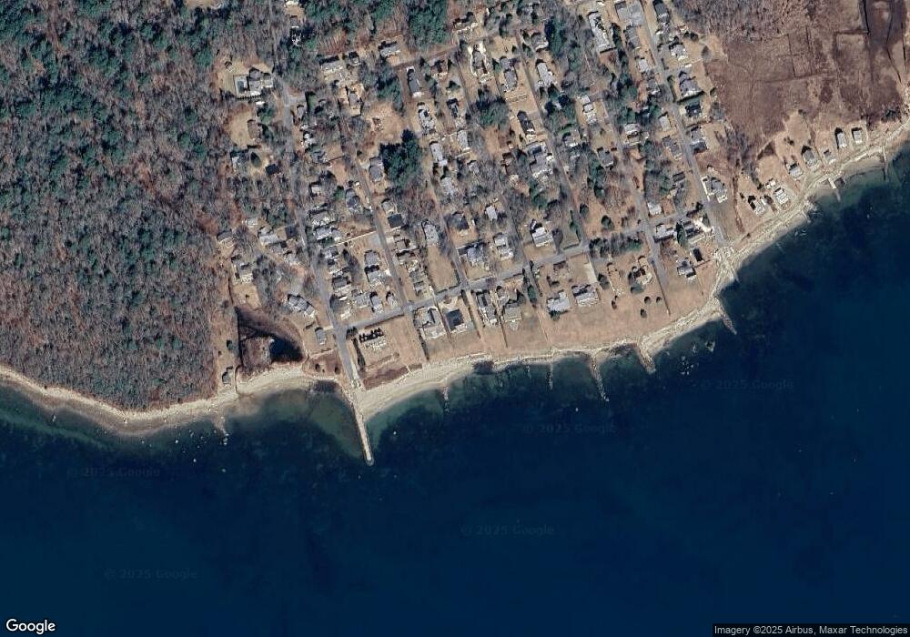
Map
Nearby Homes
- 28 Brandt Beach Ave
- 0 Marina Dr Unit 72497908
- 0 Marina Dr Unit 72497877
- 6 Meadowbrook Ln
- 7 Mattakiset Rd
- 14 Summit Dr
- 41 Starboard Way
- 1 Starboard Way
- 0 Whalers Way
- 0 Harbor Acres Ln - Lot B
- 389 Sconticut Neck Rd
- ANR 2 Sconticut Neck Rd
- 15 Baxter Ave
- 19 Smith St
- 16 Reservation Rd
- 8 Sunset Beach Rd
- 20 Forestview Dr
- 151 Balsam St
- 421 Huttleston Ave
- 3 Brandt Island Rd
- 4 Ocean View Ave
- 8 Ocean View Ave
- 9 Ocean View Ave
- 10 Ocean View Ave
- 4 Kerwin Ave
- 7 Ocean View Ave
- 2 Ocean View Ave
- 6 Pinehurst Ave
- 15 Ocean View Ave
- 5 Ocean View Ave
- 5 Kerwin Ave
- 5 Pinehurst Ave
- 0 Cedar Point Ave
- 12 Ocean View Ave
- 6 Kerwin Ave
- 3 Ocean View Ave
- 8 Pinehurst Ave
- 8 Pinehurst Ave
- 14 Ocean View Ave Unit 16
- 14 Ocean View Ave