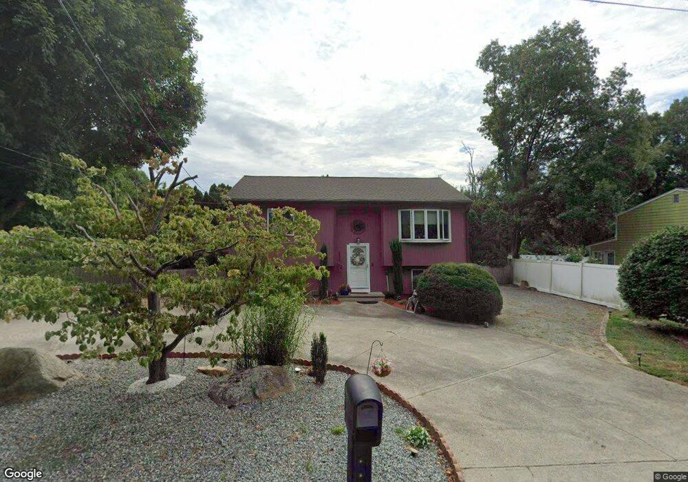
6 Old Rd N Coventry, RI 02816
Crompton NeighborhoodEstimated Value: $388,000 - $428,000
3
Beds
2
Baths
1,788
Sq Ft
$228/Sq Ft
Est. Value
About This Home
This home is located at 6 Old Rd N, Coventry, RI 02816 and is currently estimated at $407,246, approximately $227 per square foot. 6 Old Rd N is a home located in Kent County with nearby schools including Alan Shawn Feinstein Ms Of Cov, Coventry High School, and Father John V. Doyle School.
Ownership History
Date
Name
Owned For
Owner Type
Purchase Details
Closed on
Apr 23, 2004
Sold by
Corporan Luis M and Corporan Ana M
Bought by
Tobiasz Linda M
Current Estimated Value
Home Financials for this Owner
Home Financials are based on the most recent Mortgage that was taken out on this home.
Original Mortgage
$202,400
Interest Rate
5.4%
Mortgage Type
Purchase Money Mortgage
Purchase Details
Closed on
Jul 18, 2002
Sold by
Buttaro Jason P and Buttaro Stephanie A
Bought by
Corporan Luis M and Corporan Ana M
Home Financials for this Owner
Home Financials are based on the most recent Mortgage that was taken out on this home.
Original Mortgage
$145,000
Interest Rate
6.73%
Purchase Details
Closed on
Jul 30, 2001
Sold by
Skorski Michael J and Skorski Melissa A
Bought by
Buttaro Jason P and Buttaro Stephanie A
Purchase Details
Closed on
Jun 1, 1998
Sold by
Vossler David R and Vossler Cheryl
Bought by
Skoreski Michael J and Moreau Melissa A
Create a Home Valuation Report for This Property
The Home Valuation Report is an in-depth analysis detailing your home's value as well as a comparison with similar homes in the area
Home Values in the Area
Average Home Value in this Area
Purchase History
| Date | Buyer | Sale Price | Title Company |
|---|---|---|---|
| Tobiasz Linda M | $253,000 | -- | |
| Corporan Luis M | $185,000 | -- | |
| Buttaro Jason P | $160,000 | -- | |
| Skoreski Michael J | $108,000 | -- |
Source: Public Records
Mortgage History
| Date | Status | Borrower | Loan Amount |
|---|---|---|---|
| Open | Skoreski Michael J | $176,000 | |
| Closed | Skoreski Michael J | $202,400 | |
| Previous Owner | Skoreski Michael J | $148,750 | |
| Previous Owner | Skoreski Michael J | $145,000 |
Source: Public Records
Tax History Compared to Growth
Tax History
| Year | Tax Paid | Tax Assessment Tax Assessment Total Assessment is a certain percentage of the fair market value that is determined by local assessors to be the total taxable value of land and additions on the property. | Land | Improvement |
|---|---|---|---|---|
| 2024 | $4,519 | $285,300 | $104,600 | $180,700 |
| 2023 | $4,374 | $285,300 | $104,600 | $180,700 |
| 2022 | $4,364 | $223,000 | $100,600 | $122,400 |
| 2021 | $4,326 | $223,000 | $100,600 | $122,400 |
| 2020 | $4,960 | $223,000 | $100,600 | $122,400 |
| 2019 | $4,303 | $193,500 | $83,000 | $110,500 |
| 2018 | $4,179 | $193,400 | $83,000 | $110,400 |
| 2017 | $4,058 | $193,400 | $83,000 | $110,400 |
| 2016 | $3,839 | $179,300 | $78,300 | $101,000 |
| 2015 | $3,735 | $179,300 | $78,300 | $101,000 |
| 2014 | $3,657 | $179,300 | $78,300 | $101,000 |
| 2013 | $3,549 | $190,200 | $81,100 | $109,100 |
Source: Public Records
Map
Nearby Homes
- 211 Tiogue Ave
- 58 Rawlinson Dr
- 5 Pine Hollow Rd
- 24 Seneca St
- 65 Angus St
- 0 New London Turnpike
- 21 Darton St
- 82 Princeton Ave
- 25 Scenic Dr
- 105 Scenic Dr
- 194 Kimberly Ln
- 25 Wescott Way Unit 80
- 40 E Greenwich Ave
- 2 Holmes Rd
- 25 Fawn Ln
- 4 Teresa Ann Crossing
- 8 Teresa Ann Crossing
- 2 Teresa Ann Crossing
- 6 Teresa Ann Crossing
- 11 Drawbridge Dr