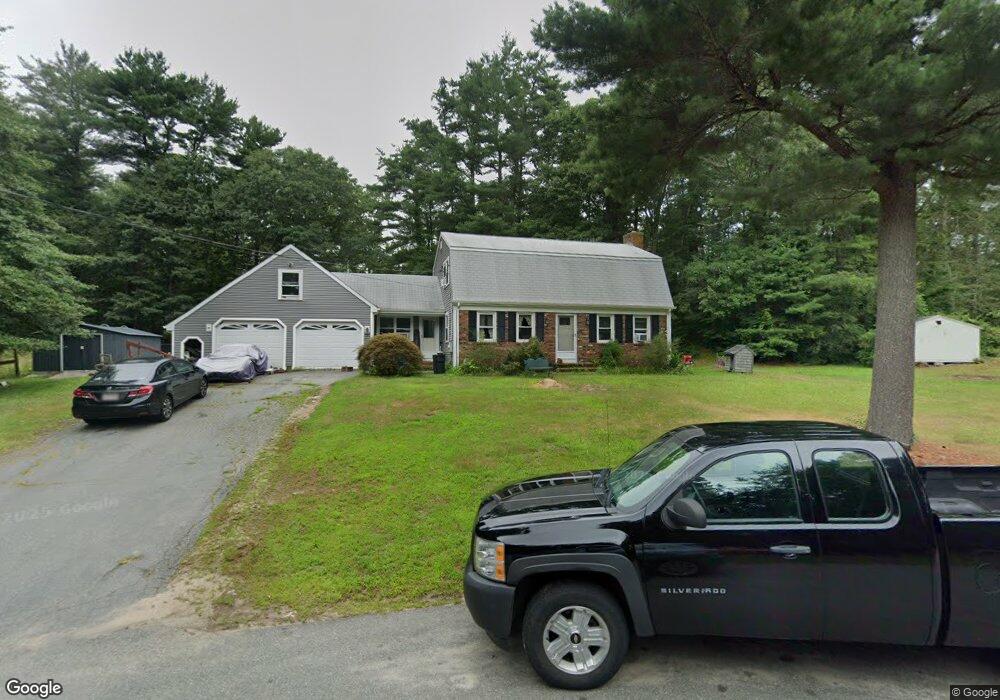
6 Olivia Ln East Freetown, MA 02717
Estimated Value: $566,000 - $657,000
3
Beds
2
Baths
1,911
Sq Ft
$312/Sq Ft
Est. Value
About This Home
This home is located at 6 Olivia Ln, East Freetown, MA 02717 and is currently estimated at $596,557, approximately $312 per square foot. 6 Olivia Ln is a home located in Bristol County with nearby schools including Freetown Elementary School, George R Austin Intermediate School, and Freetown-Lakeville Middle School.
Ownership History
Date
Name
Owned For
Owner Type
Purchase Details
Closed on
May 23, 2023
Sold by
Nuttall Richard P and Nuttall Debra A
Bought by
Nuttall Richard P and Nuttall Debra A
Current Estimated Value
Purchase Details
Closed on
Feb 14, 1994
Sold by
Goudreau Roger and Goudreau Diane
Bought by
Nuttall Richard P and Nuttall Debra A
Home Financials for this Owner
Home Financials are based on the most recent Mortgage that was taken out on this home.
Original Mortgage
$95,000
Interest Rate
7.08%
Mortgage Type
Purchase Money Mortgage
Create a Home Valuation Report for This Property
The Home Valuation Report is an in-depth analysis detailing your home's value as well as a comparison with similar homes in the area
Home Values in the Area
Average Home Value in this Area
Purchase History
| Date | Buyer | Sale Price | Title Company |
|---|---|---|---|
| Nuttall Richard P | -- | None Available | |
| Nuttall Richard P | $140,000 | -- |
Source: Public Records
Mortgage History
| Date | Status | Borrower | Loan Amount |
|---|---|---|---|
| Previous Owner | Nuttall Richard P | $100,000 | |
| Previous Owner | Nuttall Richard P | $50,000 | |
| Previous Owner | Nuttall Richard P | $25,000 | |
| Previous Owner | Nuttall Richard P | $95,000 |
Source: Public Records
Tax History Compared to Growth
Tax History
| Year | Tax Paid | Tax Assessment Tax Assessment Total Assessment is a certain percentage of the fair market value that is determined by local assessors to be the total taxable value of land and additions on the property. | Land | Improvement |
|---|---|---|---|---|
| 2025 | $5,019 | $506,500 | $183,900 | $322,600 |
| 2024 | $5,030 | $482,300 | $173,500 | $308,800 |
| 2023 | $4,885 | $456,100 | $156,300 | $299,800 |
| 2022 | $4,661 | $386,500 | $132,400 | $254,100 |
| 2021 | $4,519 | $355,800 | $120,400 | $235,400 |
| 2020 | $4,466 | $343,000 | $115,800 | $227,200 |
| 2019 | $4,297 | $326,800 | $115,800 | $211,000 |
| 2018 | $4,099 | $308,000 | $115,800 | $192,200 |
| 2017 | $3,988 | $299,400 | $115,800 | $183,600 |
| 2016 | $3,807 | $290,800 | $112,500 | $178,300 |
| 2015 | $3,738 | $289,800 | $112,500 | $177,300 |
| 2014 | $3,649 | $289,400 | $115,400 | $174,000 |
Source: Public Records
Map
Nearby Homes
- 3 Abraham Ave
- 269 Middleboro Rd
- 247 Braley Hill Rd
- 9 Paul Ave
- 28 Cedar Hill Dr
- 120 Hackett Ave
- 60 Lakeside Ave
- 168 Keene Rd
- 4597 Acushnet Ave
- 0 Costa Dr
- 714 Snipatuit Rd
- 319 Northwest St
- 0 Keene Rd Unit 73459818
- 15 Morrison Way
- 21 Bennett Rd
- 199 Quaker Ln
- 5 Freetown St
- 1069 Cherokee St
- 16 Swallow St
- 13 Luscomb Ln