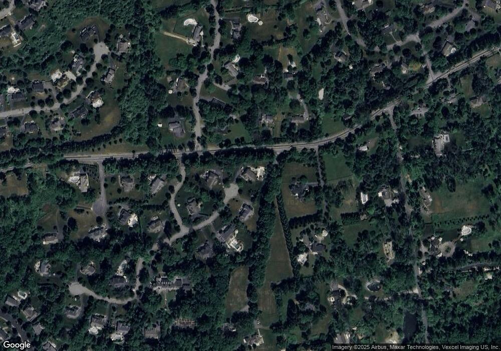
6 Olmsted Ln Mendham, NJ 07945
Estimated Value: $1,700,000 - $2,009,000
--
Bed
--
Bath
4,571
Sq Ft
$407/Sq Ft
Est. Value
About This Home
This home is located at 6 Olmsted Ln, Mendham, NJ 07945 and is currently estimated at $1,858,582, approximately $406 per square foot. 6 Olmsted Ln is a home located in Morris County with nearby schools including Mendham Township Elementary School, Mendham Township Middle School, and West Morris Mendham High School.
Ownership History
Date
Name
Owned For
Owner Type
Purchase Details
Closed on
Dec 24, 2008
Sold by
K Hovnanian At Mendham Township Llc
Bought by
Marcello Raphael and Marcello Lisa
Current Estimated Value
Home Financials for this Owner
Home Financials are based on the most recent Mortgage that was taken out on this home.
Original Mortgage
$700,000
Outstanding Balance
$459,347
Interest Rate
5.99%
Mortgage Type
Purchase Money Mortgage
Estimated Equity
$1,399,235
Purchase Details
Closed on
Nov 20, 2006
Sold by
Ko Stephen
Bought by
K Hovnanian At Mendham Twp Llc
Create a Home Valuation Report for This Property
The Home Valuation Report is an in-depth analysis detailing your home's value as well as a comparison with similar homes in the area
Home Values in the Area
Average Home Value in this Area
Purchase History
| Date | Buyer | Sale Price | Title Company |
|---|---|---|---|
| Marcello Raphael | $1,200,000 | None Available | |
| K Hovnanian At Mendham Twp Llc | $520,000 | -- |
Source: Public Records
Mortgage History
| Date | Status | Borrower | Loan Amount |
|---|---|---|---|
| Open | Marcello Raphael | $700,000 |
Source: Public Records
Tax History Compared to Growth
Tax History
| Year | Tax Paid | Tax Assessment Tax Assessment Total Assessment is a certain percentage of the fair market value that is determined by local assessors to be the total taxable value of land and additions on the property. | Land | Improvement |
|---|---|---|---|---|
| 2025 | $27,514 | $1,545,400 | $470,000 | $1,075,400 |
| 2024 | $26,599 | $1,416,800 | $408,200 | $1,008,600 |
| 2023 | $26,599 | $1,273,300 | $349,800 | $923,500 |
| 2022 | $25,363 | $1,238,700 | $341,000 | $897,700 |
| 2021 | $25,363 | $1,146,100 | $320,600 | $825,500 |
| 2020 | $25,203 | $1,146,100 | $320,600 | $825,500 |
| 2019 | $24,733 | $1,146,100 | $320,600 | $825,500 |
| 2018 | $24,263 | $1,146,100 | $320,600 | $825,500 |
| 2017 | $23,701 | $1,146,100 | $320,600 | $825,500 |
| 2016 | $23,667 | $1,146,100 | $320,600 | $825,500 |
| 2015 | $23,231 | $1,111,800 | $320,600 | $791,200 |
| 2014 | $22,025 | $1,111,800 | $320,600 | $791,200 |
Source: Public Records
Map
Nearby Homes