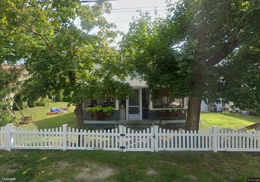
6 Onset Bay Ln Buzzards Bay, MA 02532
Estimated Value: $233,000 - $525,000
2
Beds
1
Bath
622
Sq Ft
$614/Sq Ft
Est. Value
About This Home
This home is located at 6 Onset Bay Ln, Buzzards Bay, MA 02532 and is currently estimated at $381,814, approximately $613 per square foot. 6 Onset Bay Ln is a home.
Ownership History
Date
Name
Owned For
Owner Type
Purchase Details
Closed on
Oct 31, 2016
Sold by
Dussault Charles D and Dussault Linda T
Bought by
Dussault T T and Dussault D
Current Estimated Value
Purchase Details
Closed on
Sep 20, 2010
Sold by
Bouchard Amy L
Bought by
Dussault Charles D and Dussault Linda T
Home Financials for this Owner
Home Financials are based on the most recent Mortgage that was taken out on this home.
Original Mortgage
$120,000
Interest Rate
4.51%
Mortgage Type
Purchase Money Mortgage
Create a Home Valuation Report for This Property
The Home Valuation Report is an in-depth analysis detailing your home's value as well as a comparison with similar homes in the area
Purchase History
| Date | Buyer | Sale Price | Title Company |
|---|---|---|---|
| Dussault T T | -- | -- | |
| Dussault T T | -- | -- | |
| Dussault Charles D | $75,000 | -- | |
| Dussault Charles D | $75,000 | -- | |
| Dussault Charles D | $75,000 | -- |
Source: Public Records
Mortgage History
| Date | Status | Borrower | Loan Amount |
|---|---|---|---|
| Previous Owner | Dussault Charles D | $120,000 |
Source: Public Records
Tax History
| Year | Tax Paid | Tax Assessment Tax Assessment Total Assessment is a certain percentage of the fair market value that is determined by local assessors to be the total taxable value of land and additions on the property. | Land | Improvement |
|---|---|---|---|---|
| 2025 | $3,345 | $304,600 | $178,700 | $125,900 |
| 2024 | $3,068 | $262,700 | $134,600 | $128,100 |
| 2023 | $2,847 | $235,400 | $122,300 | $113,100 |
| 2022 | $2,847 | $209,000 | $122,300 | $86,700 |
| 2021 | $2,762 | $197,300 | $122,300 | $75,000 |
| 2020 | $2,642 | $192,700 | $122,300 | $70,400 |
| 2019 | $2,461 | $181,500 | $115,900 | $65,600 |
| 2018 | $2,390 | $170,200 | $115,900 | $54,300 |
| 2017 | $1,912 | $136,800 | $115,900 | $20,900 |
| 2016 | $1,798 | $127,600 | $101,500 | $26,100 |
| 2015 | $1,748 | $127,600 | $101,500 | $26,100 |
| 2014 | $1,737 | $130,700 | $87,000 | $43,700 |
Source: Public Records
Map
Nearby Homes
- 3 Carleton St Unit 3
- 32 Carleton St Unit 32
- 35 Locust St
- 10 East Blvd
- 35 Locust St
- 10 East Blvd
- 3 Short Neck Rd
- 0 Broad St Off Unit 72362523
- 36B Starboard Dr Unit 36E
- 36B Starboard Dr Unit 36G
- 36B Starboard Dr Unit 36C
- 36B Starboard Dr Unit 36A
- 36B Starboard Dr Unit 36D
- 36B Starboard Dr Unit 36B
- 36B Starboard Dr Unit 36F
- 36B Starboard Dr Unit 36H
- 23 Starboard Dr Unit Lot 50
- 12 Mason Street Extension
- 22 Bay View Ave
- 12 Beacon St Unit 84
Your Personal Tour Guide
Ask me questions while you tour the home.