6 Oxbow Rd Wayland, MA 01778
Estimated Value: $1,101,255 - $1,413,000
3
Beds
4
Baths
1,572
Sq Ft
$765/Sq Ft
Est. Value
About This Home
This home is located at 6 Oxbow Rd, Wayland, MA 01778 and is currently estimated at $1,203,064, approximately $765 per square foot. 6 Oxbow Rd is a home located in Middlesex County with nearby schools including Wayland High School and Corwin-Russell School at Broccoli Hall.
Ownership History
Date
Name
Owned For
Owner Type
Purchase Details
Closed on
Apr 29, 1998
Sold by
Oleary Polly M
Bought by
Bloch Andrew L and Bloch Marci L
Current Estimated Value
Home Financials for this Owner
Home Financials are based on the most recent Mortgage that was taken out on this home.
Original Mortgage
$268,000
Interest Rate
7.04%
Mortgage Type
Purchase Money Mortgage
Create a Home Valuation Report for This Property
The Home Valuation Report is an in-depth analysis detailing your home's value as well as a comparison with similar homes in the area
Home Values in the Area
Average Home Value in this Area
Purchase History
| Date | Buyer | Sale Price | Title Company |
|---|---|---|---|
| Bloch Andrew L | $335,000 | -- |
Source: Public Records
Mortgage History
| Date | Status | Borrower | Loan Amount |
|---|---|---|---|
| Open | Bloch Andrew L | $185,000 | |
| Closed | Bloch Andrew L | $210,000 | |
| Closed | Bloch Andrew L | $268,000 |
Source: Public Records
Tax History Compared to Growth
Tax History
| Year | Tax Paid | Tax Assessment Tax Assessment Total Assessment is a certain percentage of the fair market value that is determined by local assessors to be the total taxable value of land and additions on the property. | Land | Improvement |
|---|---|---|---|---|
| 2025 | $15,516 | $992,700 | $533,500 | $459,200 |
| 2024 | $15,014 | $967,400 | $508,200 | $459,200 |
| 2023 | $14,749 | $885,800 | $462,000 | $423,800 |
| 2022 | $14,133 | $770,200 | $382,600 | $387,600 |
| 2021 | $13,529 | $730,500 | $347,800 | $382,700 |
| 2020 | $13,061 | $735,400 | $347,800 | $387,600 |
| 2019 | $12,461 | $681,700 | $331,400 | $350,300 |
| 2018 | $6,552 | $637,000 | $331,400 | $305,600 |
| 2017 | $11,011 | $607,000 | $315,500 | $291,500 |
| 2016 | $10,622 | $612,600 | $309,400 | $303,200 |
| 2015 | $11,749 | $638,900 | $309,400 | $329,500 |
Source: Public Records
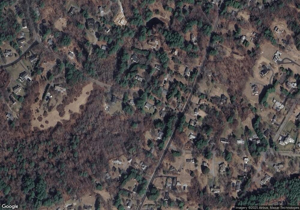
Map
Nearby Homes
- 12 Pine Ridge Rd
- 244 Lincoln Rd
- 93 Old Sudbury Rd
- 236 Lincoln Rd
- 224 Aspen Cir
- 134 Chestnut Cir
- 11 Grove St
- 25 Birchwood Ln
- 15 Lewis Path
- 49 Birchwood Ln Unit 49
- 52 Greenridge Ln
- 448 & 454 Concord Rd
- 33 Old Concord Rd
- 50 3 Ponds Rd
- 44 Baker Bridge Rd
- 130 Tower Rd
- 156 Cherry Brook Rd
- 99 Tower Rd
- Lot 5 Sailaway Ln
- Lot 4 Sailaway Ln